
AI map-making software
Cartolytic Studio
Describe a map, get it print-ready.
Launching soon
Home/Products
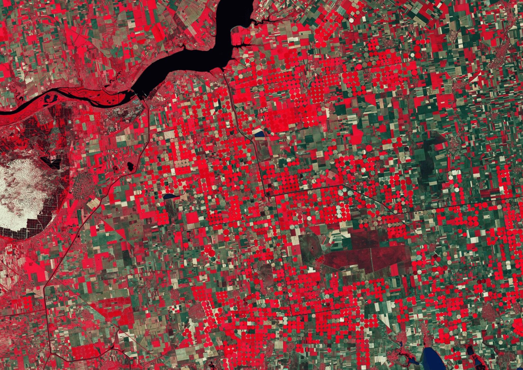
Our own products, Cartolytic Studio and Stayloop, and AGROGIS, a precision-agriculture platform we developed for agrogis.ro.
AI map-making software
Describe a map, get it print-ready.
Launching soon
AI map-making software
Describe a map, get it print-ready.
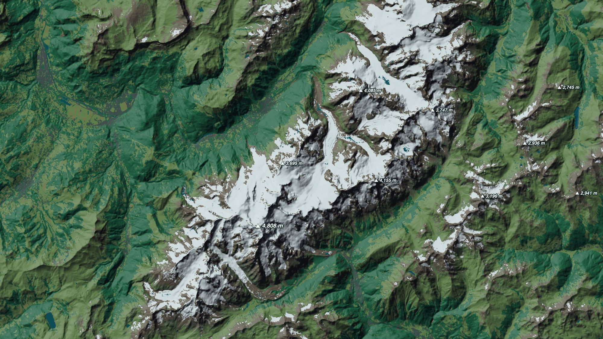
Studio finds licensed data, draws the map and checks it the way a cartographer would, with sources and credits written for you. Maps without the GIS team.
Launching soon
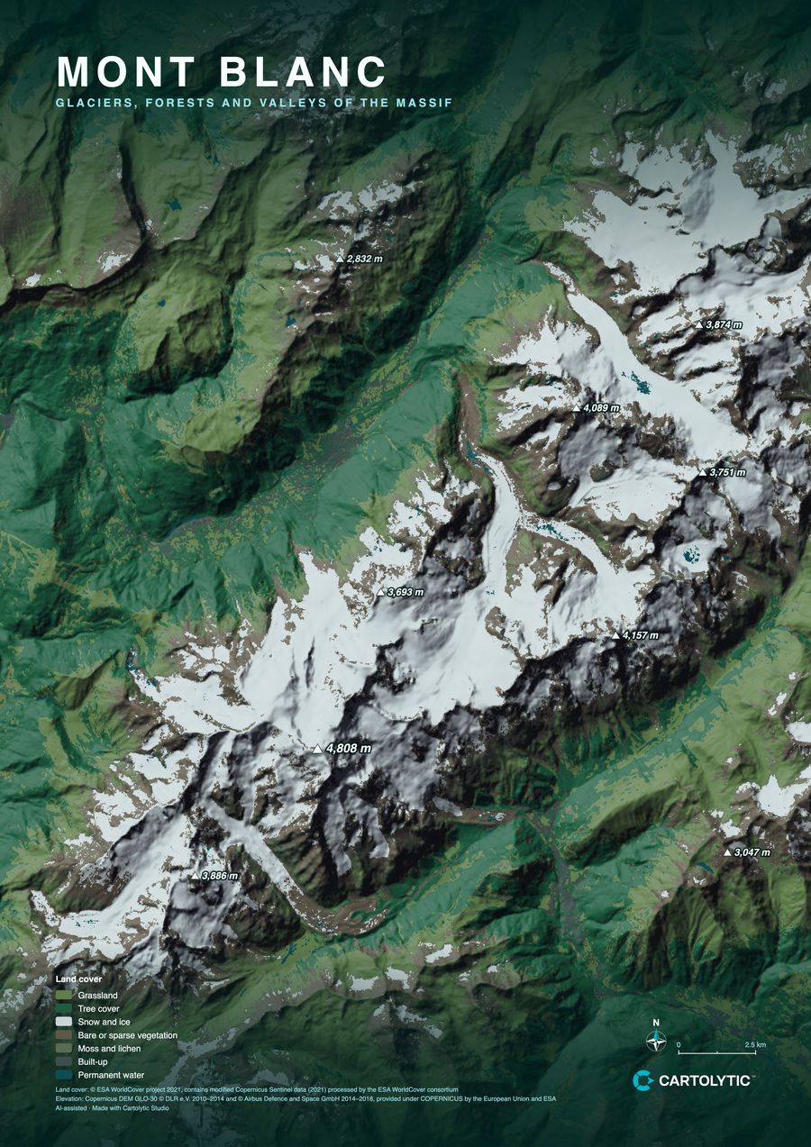

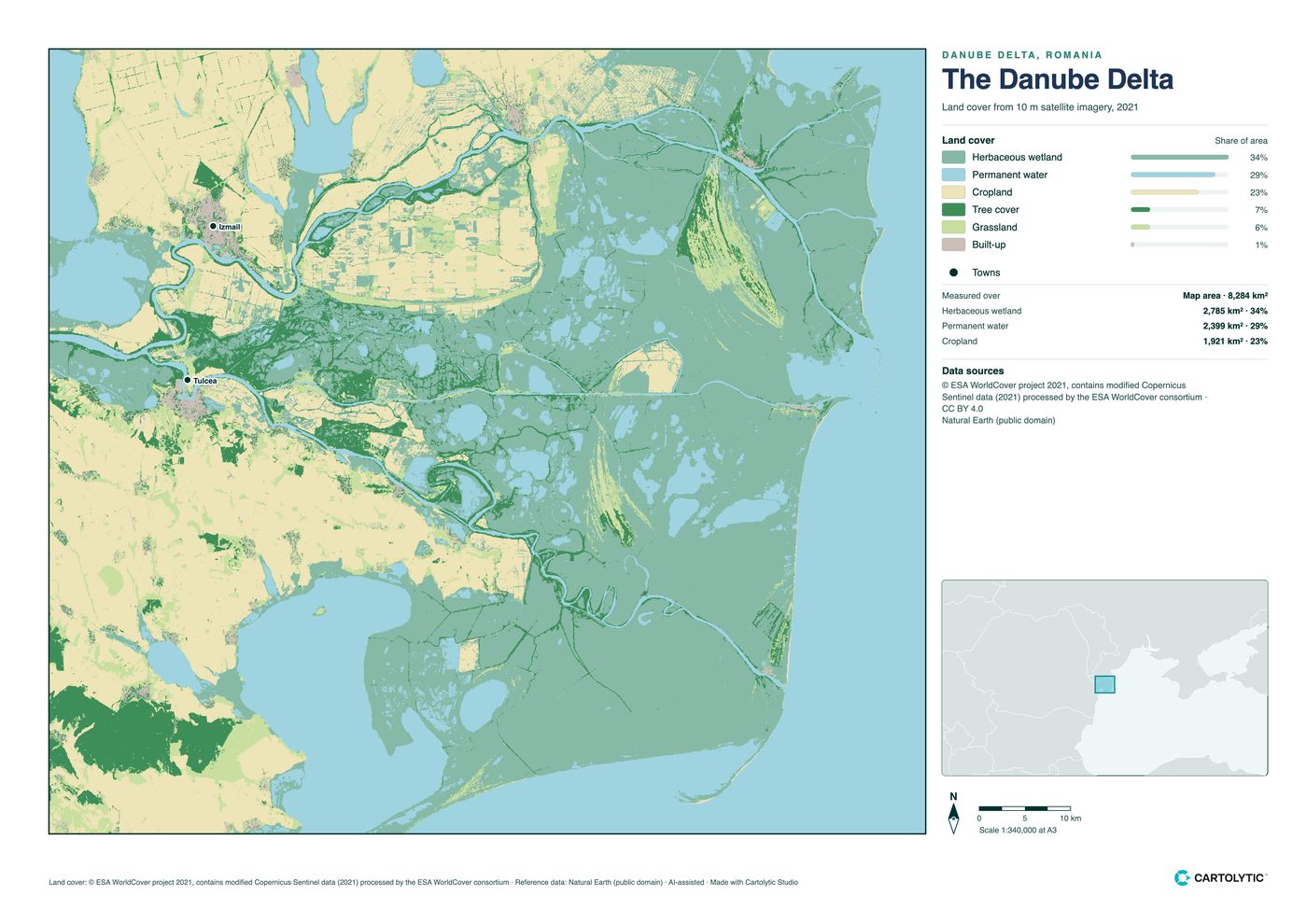
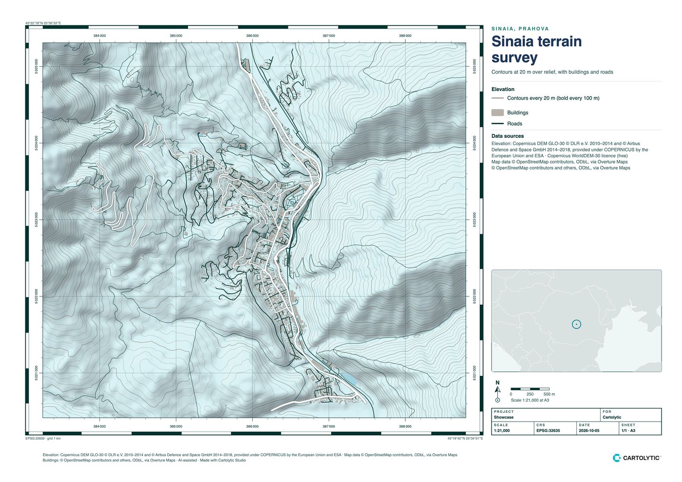
Data: ESA WorldCover 2021 · Copernicus DEM · Poster style · A2
Say what the map is for, in plain words, or upload a spreadsheet, CAD or GIS file.
Area, data, classification and style, from a registry of licence-checked datasets.
A print-ready PDF and PNG with legend, scale and credits. Ask for changes in plain words.
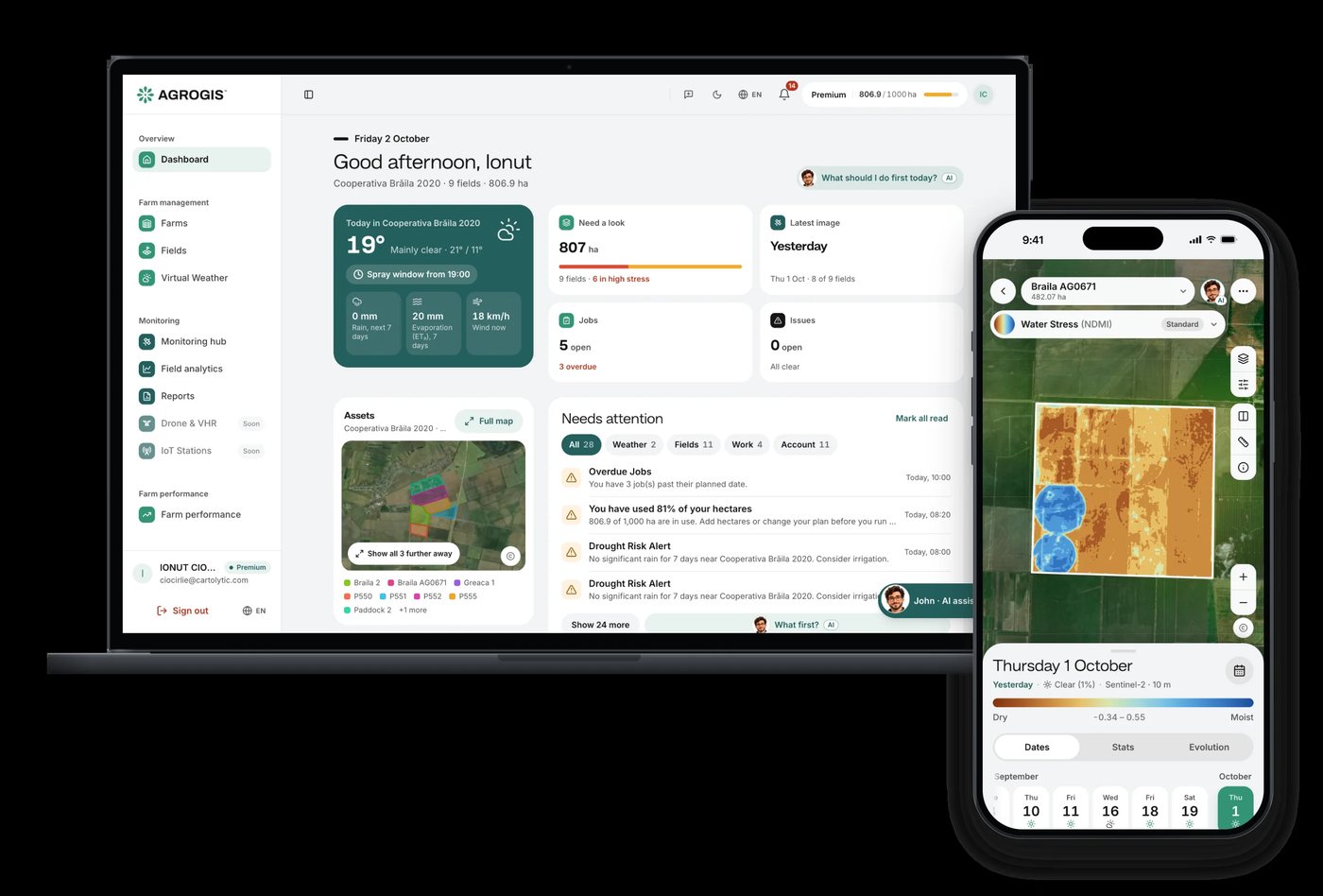
Precision agriculture · Developed for agrogis.ro
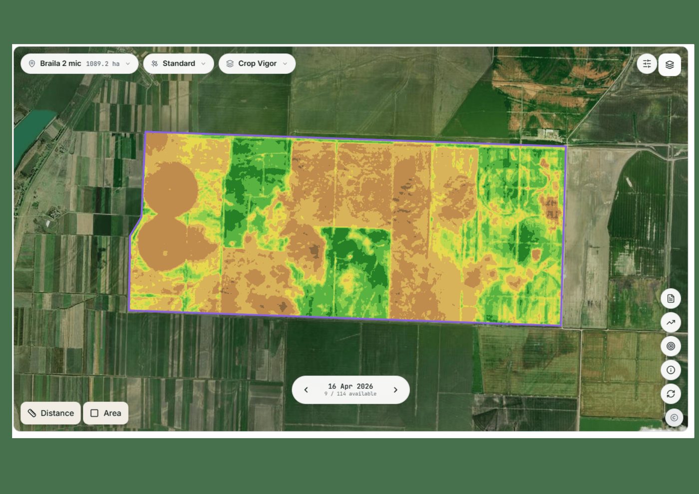
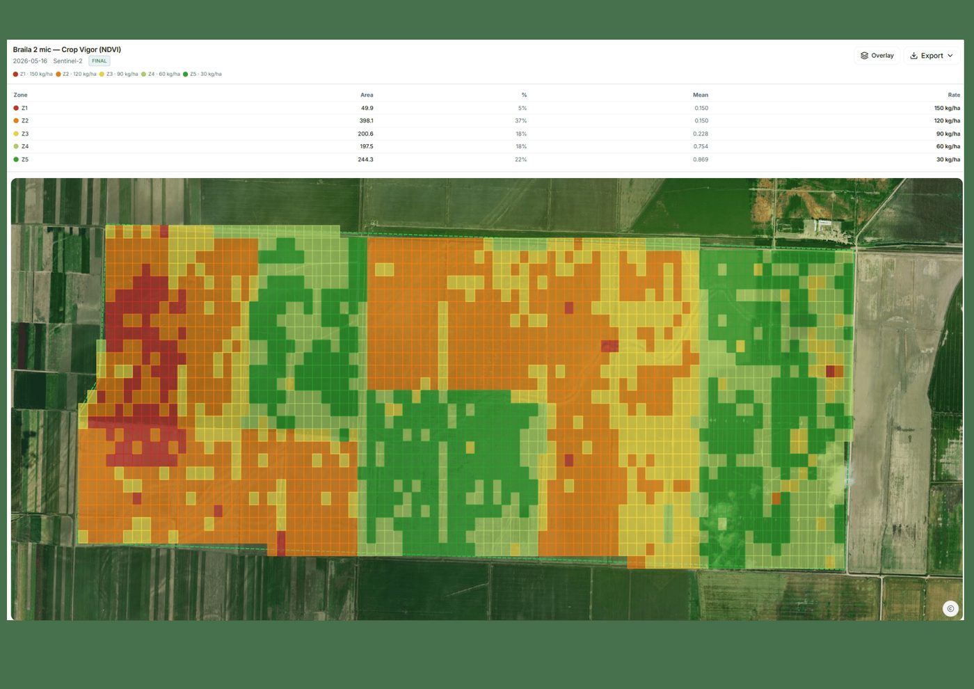
Every field, from satellite to decision.
Satellite imagery, weather and field records in one app on web and mobile, with John, an AI assistant that answers questions about your fields, day and night.
Launching soon
Digital guest pages
Your hotel's guest page. One scan.
Map, WiFi, check-in and requests on your guests' phones, in their language. Nothing to install.
1 afternoonto go live
No appfor guests to install
4 languagesfor every guest page
Launching soon

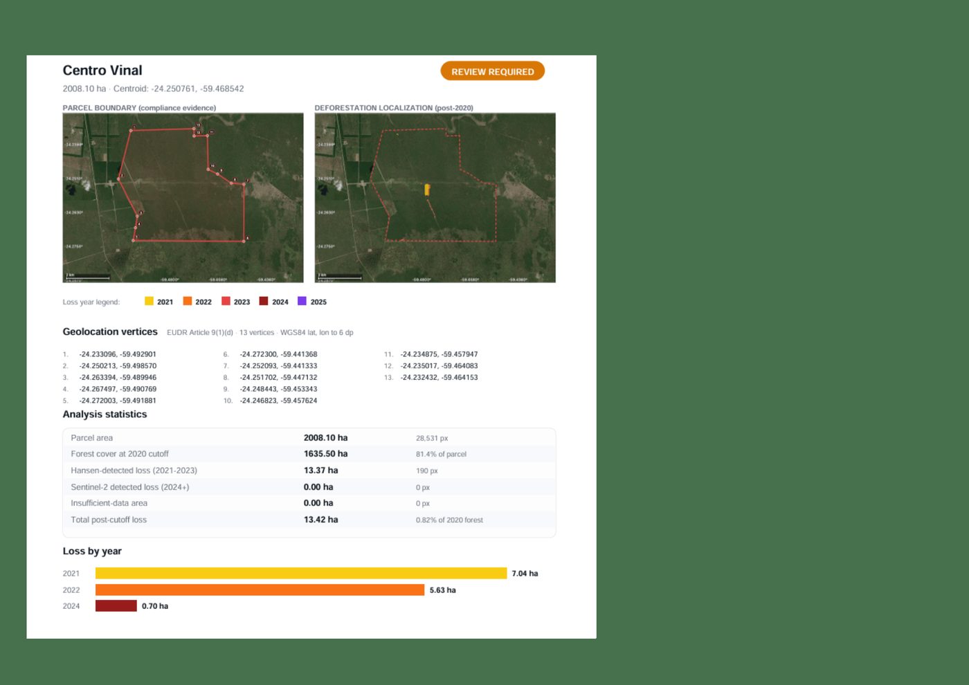
We also build private, tailored geospatial platforms for specific client needs, from geoportals to AI assistants.
Tell us the area, the decision and the deadline. We reply within 24 hours, from the person who will deliver the work.
Based in Bucharest, working with clients on five continents.