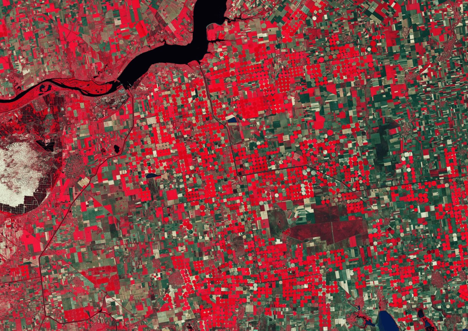

We design and build geospatial applications: web platforms, mobile apps and client portals where maps, satellite imagery and your own records work together. Each app is built around the decisions its users make every day, not around a GIS toolbar.
AI is part of the product, not an add-on. An assistant answers questions about the data in plain language and explains what changed on the map, using the same spatial data the app shows.
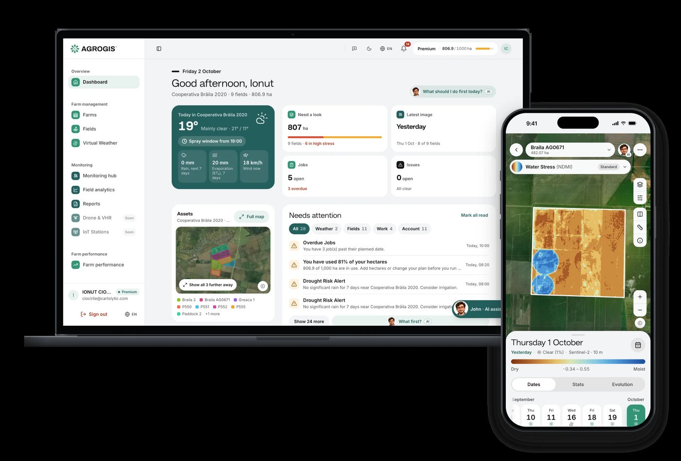
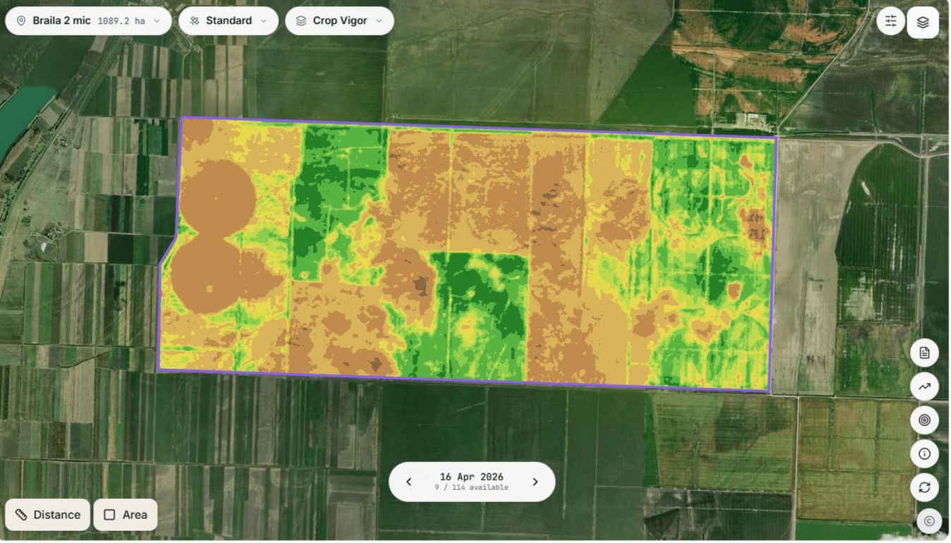
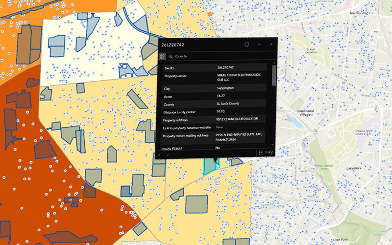
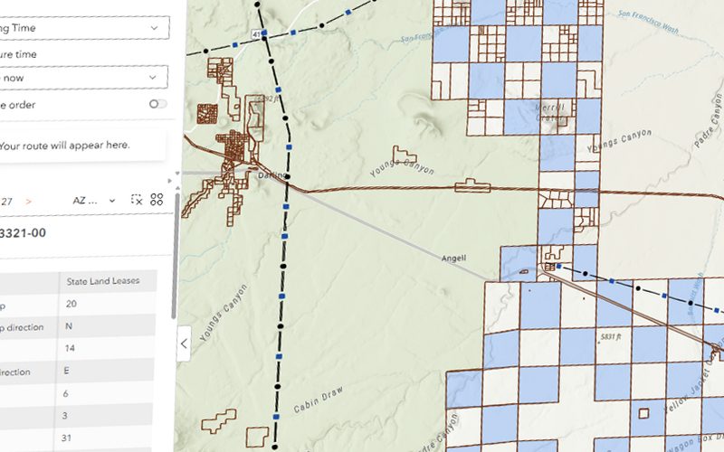
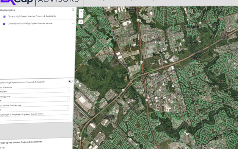
We built AGROGIS this way for agrogis.ro: a precision-agriculture platform on web and mobile, with John, an AI assistant for farmers. We have also built web applications for real-estate parcel screening, solar-farm site selection and a telecom geoportal. We run the whole cycle, from product design to development, hosting and support.
Who it is for
- Agribusinesses and farm advisers
- Real-estate and energy developers screening sites
- Hotels and venues serving guests on their phones
- Teams that need a map-based tool for their clients
What we do.
The work, what you receive and the data behind it.
Capabilities
- Web GIS platforms and client portals
- Mobile apps for field teams
- AI assistants that answer questions about spatial data
- Satellite and drone imagery inside the app
- Reports and compliance exports generated from the map
- Integrations with your existing systems and APIs
What you get
- Web application
- Mobile app
- AI assistant
- Client portal
- Admin dashboard
- Documentation and handover
Data we work with
- Satellite imagery (Sentinel, Planet)
- Drone imagery
- Your own records and spreadsheets
- Weather data
- OpenStreetMap
- Cadastre and parcel data
How we work.
5 steps, from the first question to the delivered result.
Why Cartolytic.
Geospatial specialists who also build software: the analysis and the app come from one team.
AI assistants grounded in your own spatial data.
Proven in production with AGROGIS, on web and mobile.
One partner from the first sketch to hosting and support.
Questions about this service.
01What kind of apps do you build?
Web platforms, mobile apps and client portals built around maps and spatial data: field monitoring, site screening, asset inventories and visitor pages.
02Can the app include an AI assistant?
Yes. We build assistants that answer questions in plain language about the data in the app, as John does for fields in AGROGIS.
03Do you build mobile apps as well as web apps?
Yes. AGROGIS runs on web and mobile from the same platform.
04Who hosts and maintains the app?
We can host, monitor and maintain it for you, or hand it over to your team with documentation.
05Can you start from an existing GIS project or dataset?
Yes. Many apps start from an analysis that we or your team already did; we turn it into a tool people use every day.
Other services.
Ready to put your geospatial data to work?
Tell us the area, the decision and the deadline. We reply within 24 hours, from the person who will deliver the work.
Based in Bucharest, working with clients on five continents.