
The question
Can the forest carbon be proven?
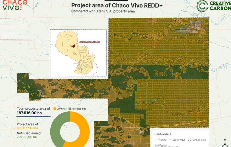
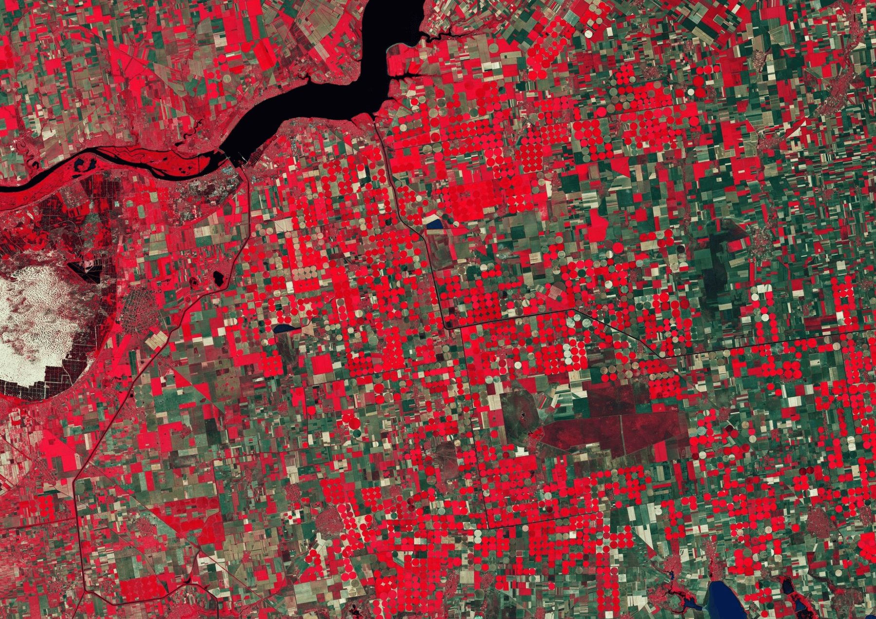
The credibility and volume of REDD+ credits depend on rigorous GIS and remote sensing. Across 187,916 hectares of the Gran Chaco, the project area, the baseline and forest change all had to be measured.
What we did
Baseline, monitoring and MRV design.
We led the geospatial workflows for deforestation monitoring, in collaboration with Creative Carbon (USA).
- Baseline mapping of the property and the REDD+ project area
- Deforestation-monitoring workflows from satellite imagery
- MRV system design for the project
The result
Evidence mapped to the hectare.
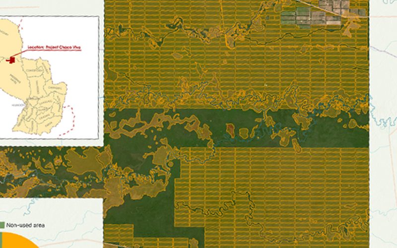
A project-area map with the exact split between the REDD+ project and the rest of the property, plus monitoring workflows and an MRV design for a project under Verra VCS.