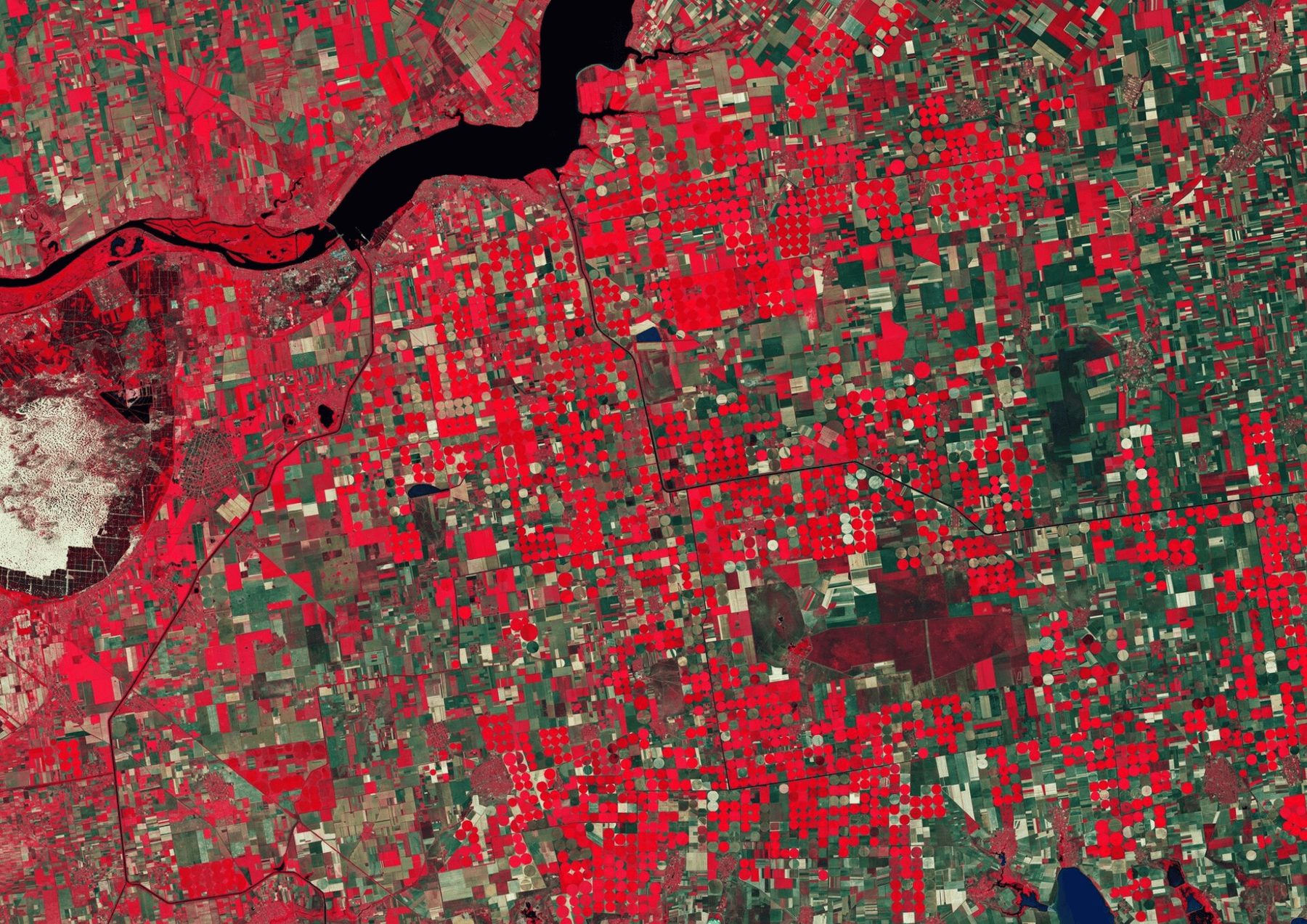

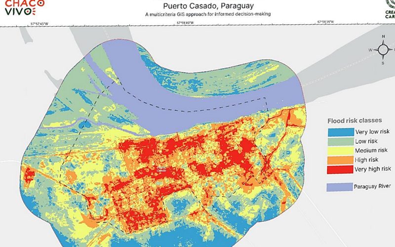
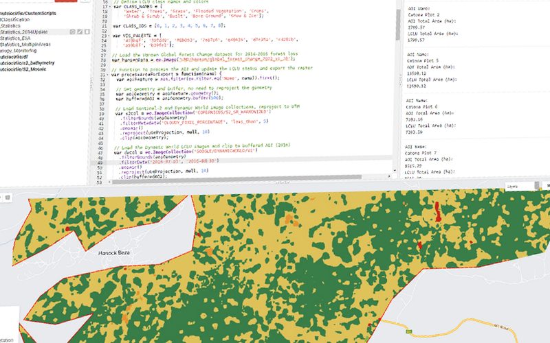
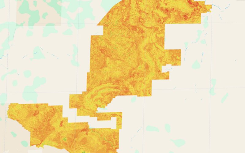
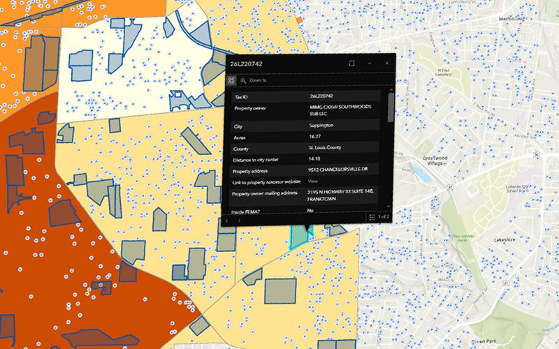
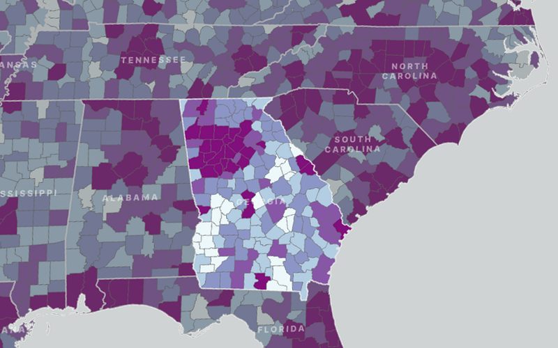
This project focused on developing a comprehensive flood risk assessment through the integration of community vulnerability and environmental susceptibility factors. Using a multicriteria analysis (MCA) framework, spatial indicators such as elevation, slope, land use, hydrology, and population density were weighted and combined to generate hazard and vulnerability maps.
The map we delivered.
Shown whole, as the client received it.
Ready to put your geospatial data to work?
Tell us the area, the decision and the deadline. We reply within 24 hours, from the person who will deliver the work.
Based in Bucharest, working with clients on five continents.