
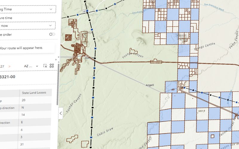
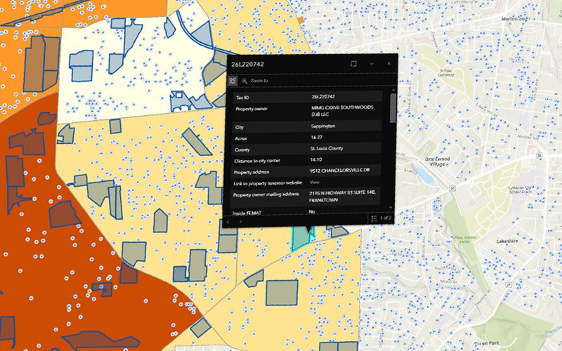
This project involved the development of a web-based application that integrates property parcel data with solar irradiance analysis to support informed site selection for solar farm development in Arizona. The tool enables users to identify high-potential locations based on land characteristics and solar energy potential.
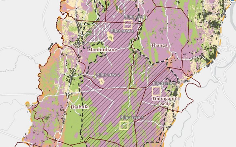
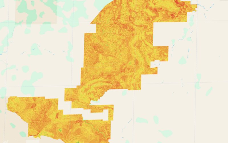
The map we delivered.
Shown whole, as the client received it.
Ready to put your geospatial data to work?
Tell us the area, the decision and the deadline. We reply within 24 hours, from the person who will deliver the work.
Based in Bucharest, working with clients on five continents.