

Almost every "where should this go?" question we get at Cartolytic — a solar farm, a warehouse, a retail unit, a conservation buffer — is answered with the same underlying method. Multi-criteria decision analysis (MCDA) is the engine that sits beneath site suitability modeling. It takes a messy pile of spatial layers and a set of competing priorities and turns them into a single, defensible suitability surface you can act on.
This is the pillar that the rest of our siting work links back to. If you understand MCDA well, you understand how real-estate parcel screening, solar farm site selection, flood and climate risk siting and trade-area analysis are actually built. Below is the full pipeline, plus the discipline that separates a trustworthy model from a pretty one.
Start with the objective, then split criteria in two
Before touching a single layer, state the objective in one plain sentence: "Find land suitable for a utility-scale solar array," or "Rank parcels for a last-mile distribution hub." A vague objective produces a vague map.
Then divide every criterion into one of two categories — and never let them blur together:
- Hard constraints are pass/fail. A protected area, a slope above the buildable limit, or land inside a statutory flood zone either excludes a location or it does not. Constraints produce a binary mask.
- Factors are matters of degree. Closer to a grid connection is better than farther; gentle slopes are better than steep ones; higher footfall is better than lower. Factors are scored on a continuum.
The single most common modelling error is treating a factor as a constraint or vice versa — for example, hard-excluding everything more than 5 km from a road when "distance to road" is really a matter of degree. Keep the two streams separate all the way through the pipeline and only combine them at the end.
Standardise every factor to a common scale
Factors arrive in incompatible units: metres of slope, kilometres to a substation, people per square kilometre. You cannot add metres to people, so each factor is transformed onto a common, comparable scale (typically 0–1 or 0–255) before anything is combined. Three standard approaches:
- Value functions — a linear or non-linear curve that maps raw values to suitability (e.g. suitability declines linearly as distance to grid increases).
- Thresholds and reclassification — binning raw values into discrete suitability classes.
- Fuzzy membership — assigning a graded degree of belonging rather than a hard cut, which is well suited to criteria with no sharp real-world boundary.
Getting the direction and shape of each value function right matters as much as the weights that follow. A criterion standardised backwards will quietly sabotage the whole result.
Assign weights — and justify them
Weights express how much each factor matters relative to the others. There are three broad families, and the right one depends on how much expert judgement versus data-driven objectivity you want:
- Ranking and rating — the simplest: order the factors or hand out points. Fast, transparent, but subjective.
- The Analytic Hierarchy Process (AHP) — derive weights from pairwise comparisons of every factor against every other. AHP's real value is the built-in consistency check: if your judgements are internally contradictory (A beats B, B beats C, but C beats A), the consistency ratio flags it and you revise. Weights without a consistency check are just opinions with decimals.
- Objective methods — derive weights from the data itself, such as entropy weighting or CRITIC, which reward criteria that carry more information and less redundancy. Useful when you want to reduce analyst bias.
Aggregate into a suitability surface
With standardised factors and weights in hand, combine them. The aggregation rule you choose encodes your risk appetite:
- Weighted linear combination (WLC) — the classic weighted overlay: multiply each factor by its weight and sum. Fully compensatory, meaning a high score on one factor can offset a low score on another.
- Ordered weighted averaging (OWA) — tunes the degree of compensation and risk, letting you move between optimistic ("best case anywhere") and cautious ("everything must be decent") logic.
- Fuzzy overlay — combines fuzzy memberships with operators such as AND, OR or gamma, again controlling how forgiving the combination is.
Finally, apply the constraint mask: multiply the factor result by the binary pass/fail layer so excluded areas are forced to zero. The output is a continuous suitability surface — every cell scored, ready to threshold into "suitable / not suitable" or to rank candidate sites.
The discipline that separates trustworthy from pretty
A colourful suitability map is easy. A defensible one requires four habits that we treat as non-negotiable:
- Never mix constraints and factors. Keep the pass/fail mask separate from the graded scores until the final multiply. Blurring them either over-excludes good land or lets a hard limit be "averaged away".
- Watch for correlated criteria. Slope and elevation, or income and property value, often measure the same underlying thing. Including both silently double-counts it and inflates its true weight. Check correlations before finalising the factor list.
- Run a sensitivity analysis. Perturb the weights and re-run. If the top-ranked sites stay stable, the result is robust; if they reshuffle wildly, the model is being driven by a subjective weight, not by the terrain — and stakeholders deserve to know that.
- Validate against ground truth. Compare the surface to known-good and known-bad locations, existing successful sites, or field checks. A model that cannot reproduce what you already know is not ready to predict what you do not.
The weights make the map; the sensitivity analysis makes it trustworthy. Skipping the second step is how a subjective guess ends up wearing the authority of a raster.
Make the mechanics visible: interactive weighted overlay
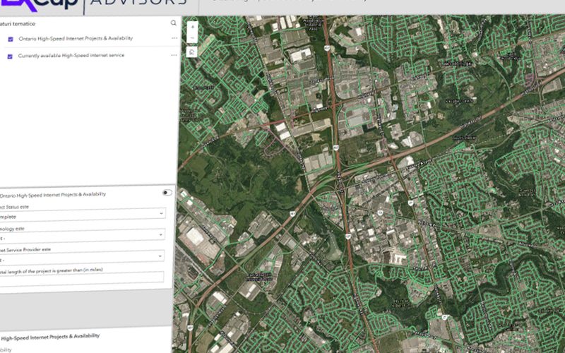
MCDA is far easier to grasp when you can move the weights and watch the map respond. Cartolytic builds interactive weighted-overlay explainers for exactly this: a stripped-down teaching version with a handful of factors, live weight sliders, and a suitability surface that recomputes as you drag. The same interactive screeners we build for clients let stakeholders test their own priorities — "what if grid distance mattered more than slope?" — and see the winning sites reshuffle in real time. It turns a static deliverable into a decision tool, and it is the fastest way to build shared confidence in a model. That is the whole point of an interactive model over a static PDF: it invites scrutiny instead of asking for trust.
Data sources
MCDA is method-agnostic: it does not require any particular dataset, and no data purchase is needed to run it. In practice it consumes the same layers as every other siting task — see our Data Sources Reference for the full catalogue and what each layer feeds.
Open & public
- Digital elevation models (DEM) — for slope, aspect and terrain constraints
- Land cover — for exclusions and land-use suitability
- Demographics — for demand, footfall and market factors
- Hazards — flood, seismic and other constraint layers
- Infrastructure — roads, grid, utilities and access factors
Commercial
- Method-agnostic — no commercial data purchase is required to explain or run MCDA. Where a project needs higher-resolution or proprietary layers, the Data Sources Reference points to what can feed the same pipeline.
Tools
- QGIS — raster calculator and reclassification workflows
- ArcGIS Suitability Modeler — guided weighted-overlay modelling
- GRASS — raster analysis and map algebra
- Python — rasterio and NumPy for scripted, reproducible standardisation, weighting and aggregation
From method to decision
MCDA is not a black box — it is a transparent, auditable chain from objective to suitability surface. Define the goal, separate constraints from factors, standardise, weight with justification, aggregate, mask, then stress-test and validate. Do all of that and the map earns the decision it supports. Skip the discipline and you have a pretty picture with a confidence it has not earned. Every siting problem we work — real estate, energy, risk, retail — runs on this same engine.