
01
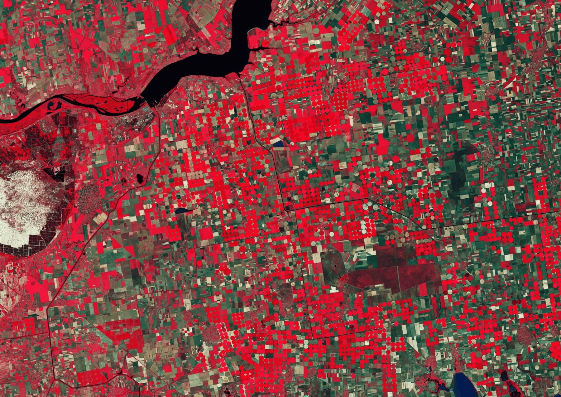
Agriculture, environment and carbon, energy and infrastructure, real estate, retail and the public sector: the questions each sector brings and the work we deliver for it.
Pick a service to see what we do, what you receive, who it is for and a project where we delivered it.
01 · Service
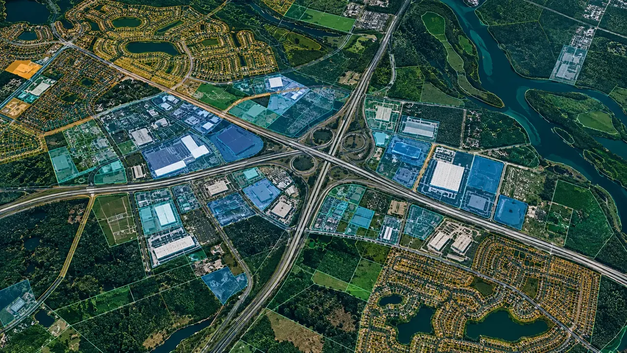
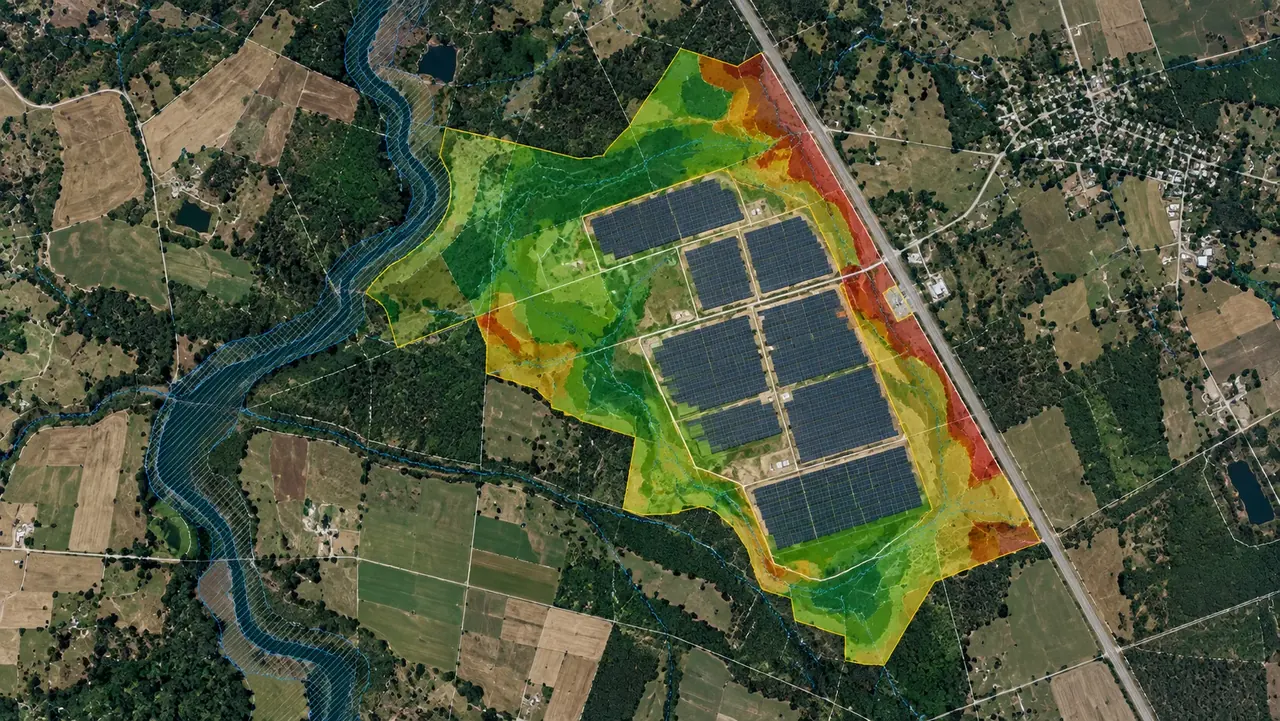
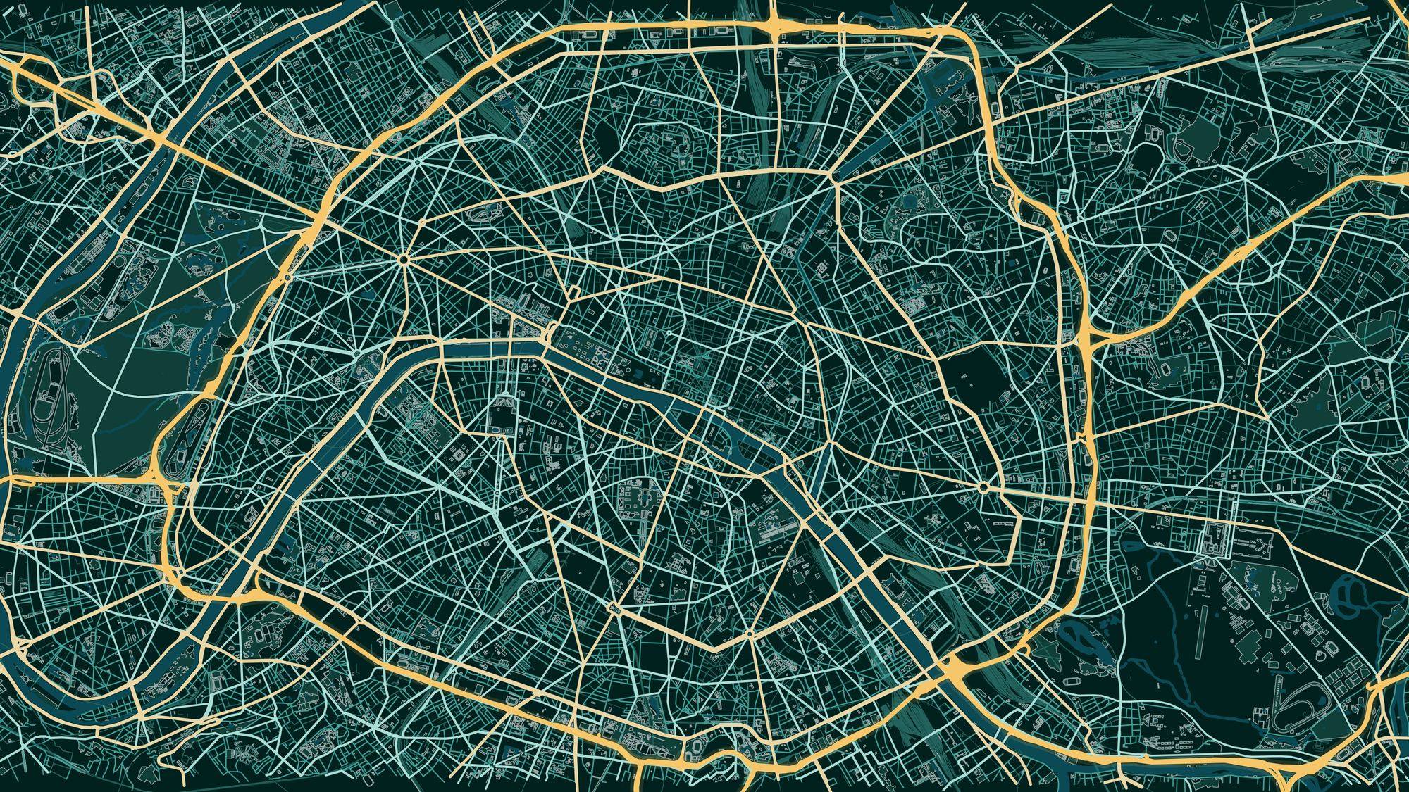
GIS mapping and spatial analysis for site selection, suitability, risk and planning: geodatabases, print-ready maps and reproducible toolboxes.
Everything about this serviceOpenStreetMapCadastre DataCensus & DemographicsDigital Elevation ModelsClient DatasetsAdministrative Boundaries
Each study answers one question and ends in maps, data and a web map your team can use.
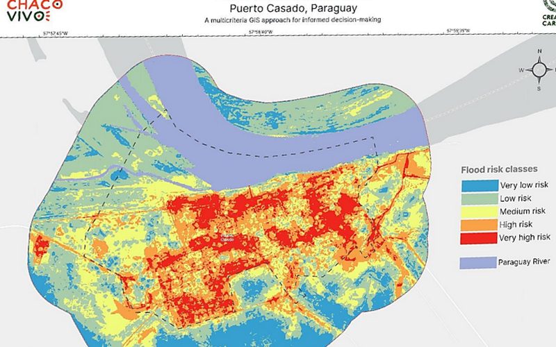
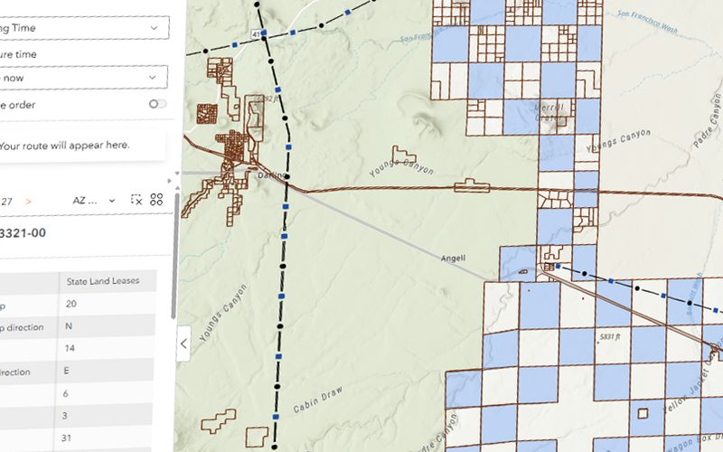
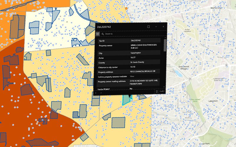
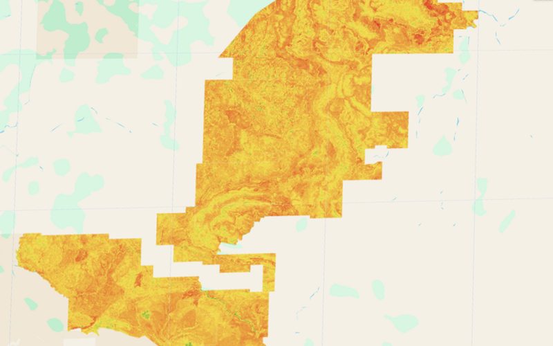
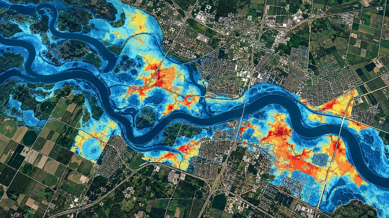
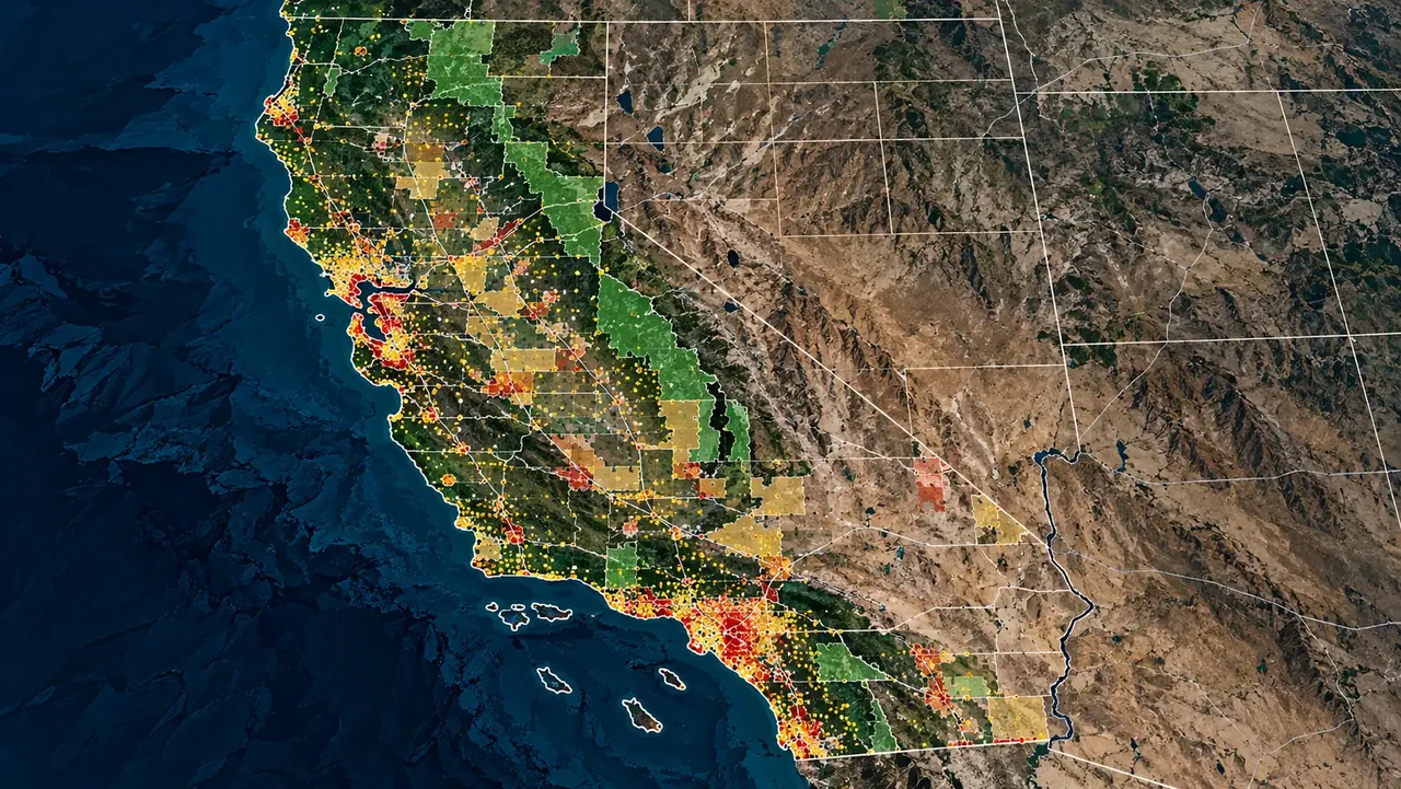
Flood & climate risk assessment
Know your exposure before you build, buy, lend or insure.
Sample project: Flood risk, Puerto CasadoGeospatial work shaped by the challenges of each sector.
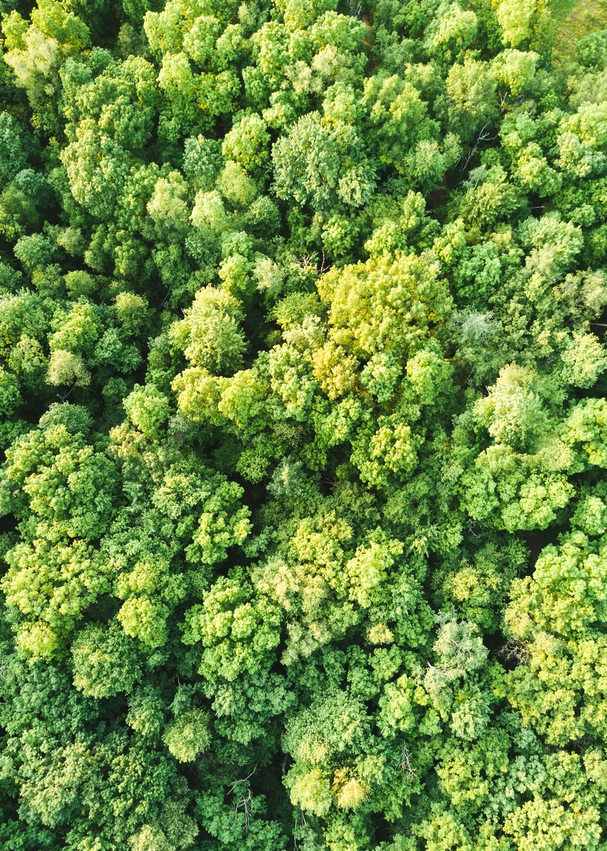 Environment & ClimateCarbon projects, forest monitoring and MRV.
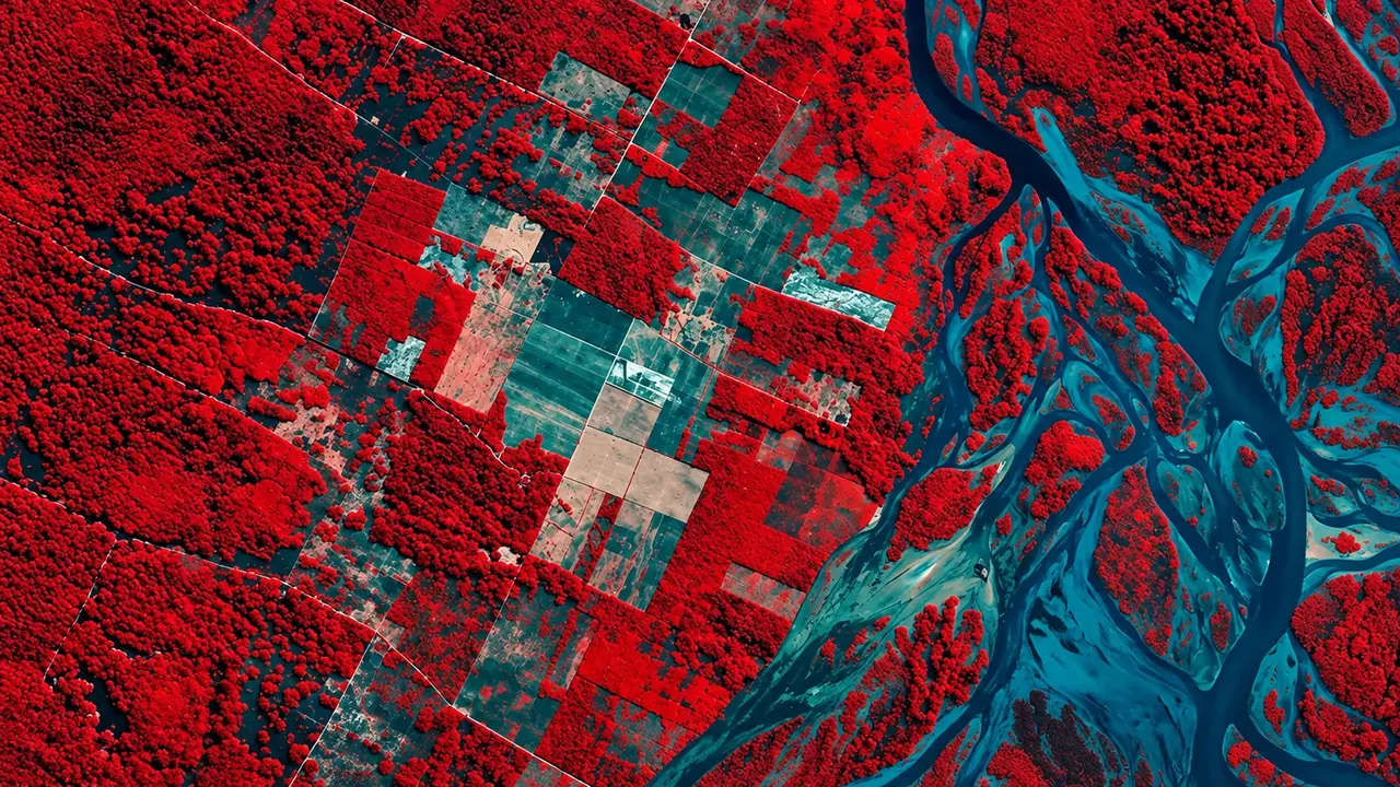
 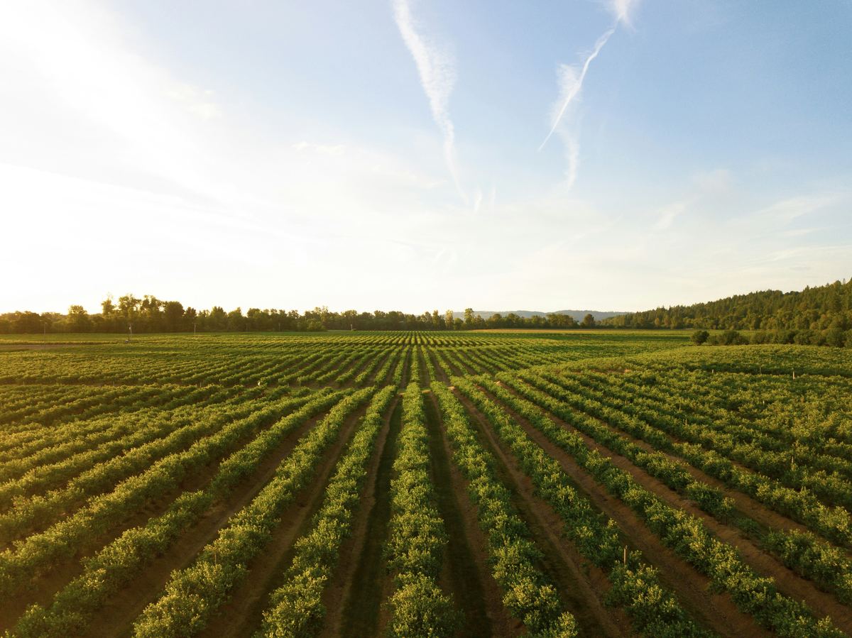 Agriculture & Land ManagementCrop monitoring, field analytics and land-use change.
 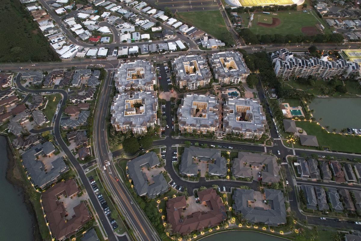 Real Estate & DevelopmentParcel screening, zoning and flood constraints.
  Retail & Market IntelligenceBest locations, trade areas and competitors.
  Infrastructure & UtilitiesNetwork planning and service coverage.
  Public Sector & Urban PlanningUrban planning, flood risk and public services.
 Open-source tools and licensed data, so your results never lock you into one vendor.
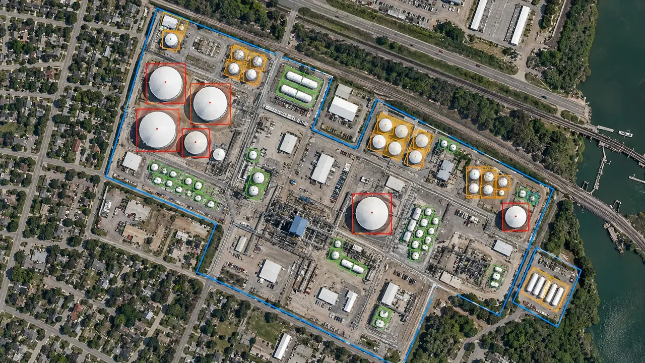
Flood and climate risk assessments, site selection and land screening, land and property due diligence, carbon project feasibility and MRV, satellite monitoring and change detection, market and territory analysis, and geospatial apps and AI assistants.
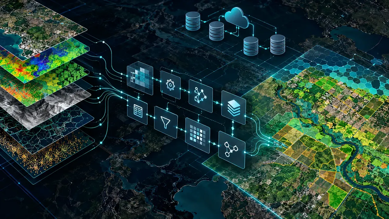
Sentinel-2, Landsat 8/9 and Planet archives, very high resolution imagery such as Pléiades Neo, WorldView and SkySat, plus parcel, census and field data. We process them with Google Earth Engine, Python, PostGIS, GDAL, QGIS and ArcGIS, and deliver through MapLibre web maps.
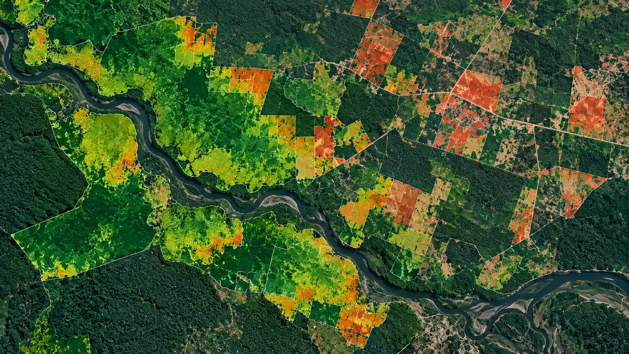
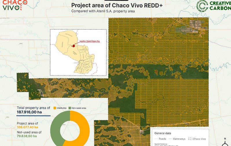
Yes. We deliver baselines, biomass and carbon-stock estimates and MRV systems for REDD+, ARR, IFM and wetland projects under Verra VCS and Gold Standard, for example Chaco Vivo in Paraguay and an ARR/REDD+ project in Mozambique.
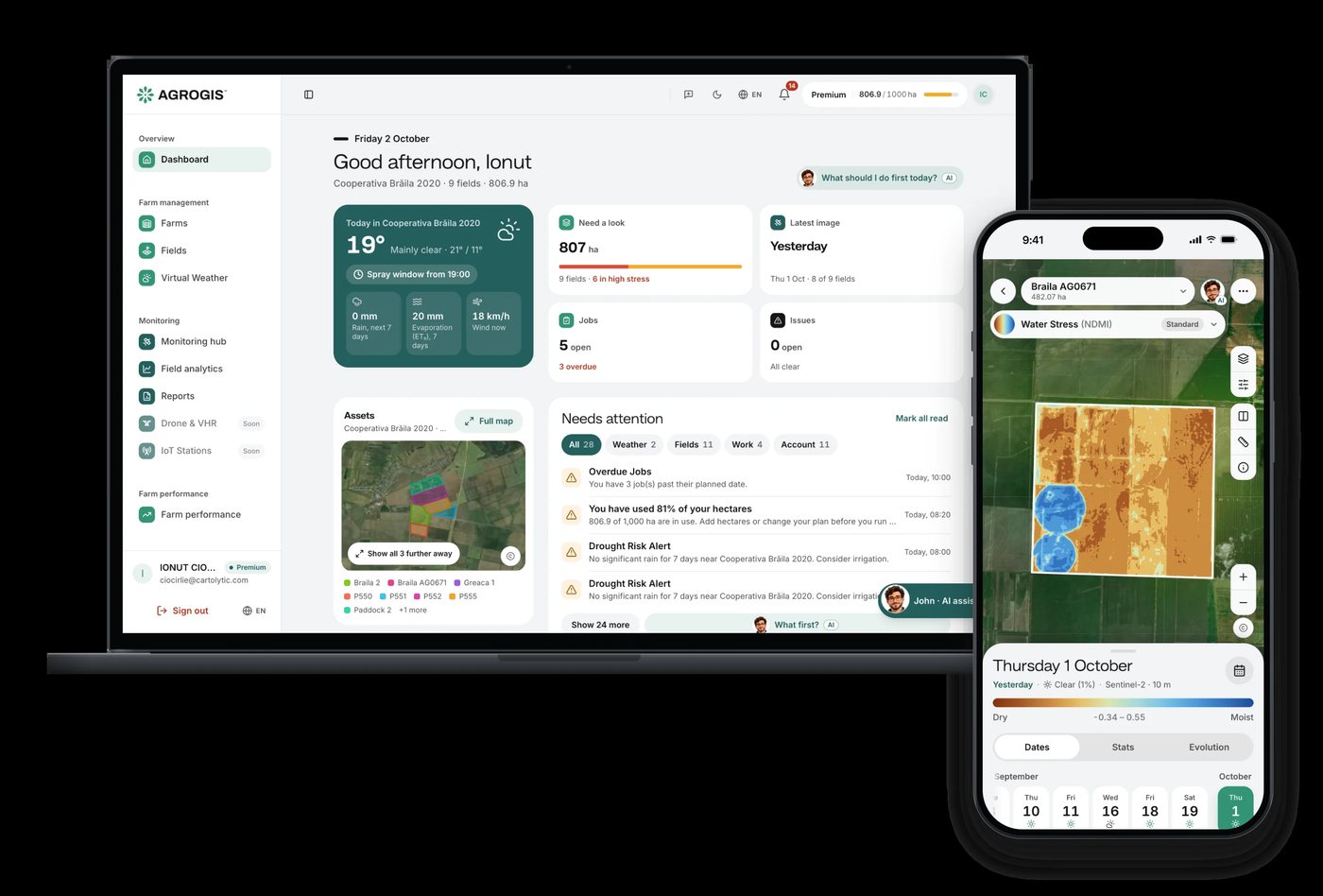
Yes. We design and build web and mobile apps on geospatial technology and integrate AI into geospatial platforms, for example John, the AI assistant inside the AGROGIS precision-agriculture platform, and our own Cartolytic Studio.
It depends on the area, the data and how you want the results delivered. Our engagements range from 30-day mapping projects to multi-year monitoring partnerships. Send us a short brief and we’ll reply with a scoped proposal.
Tell us the area, the decision and the deadline. We reply within 24 hours, from the person who will deliver the work.
Based in Bucharest, working with clients on five continents.