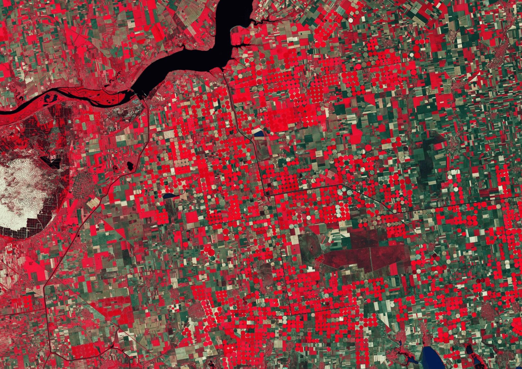

This project aims to identify and map refugial areas within a specified region—zones that retain moisture even under the driest conditions. By utilizing Sentinel-2 satellite imagery from 2017 through 2024, the Normalized Difference Moisture Index (NDMI) is computed specifically for the driest months (September–October)
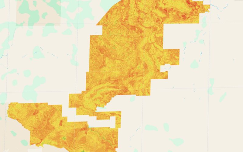
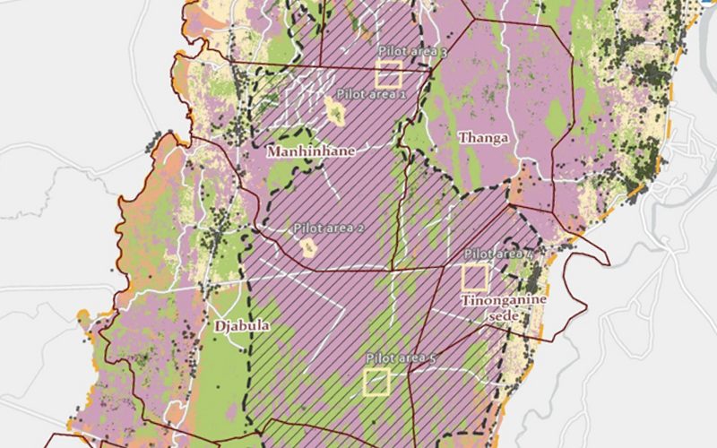
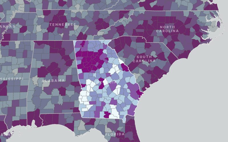
The map we delivered.
Shown whole, as the client received it.
Ready to put your geospatial data to work?
Tell us the area, the decision and the deadline. We reply within 24 hours, from the person who will deliver the work.
Based in Bucharest, working with clients on five continents.