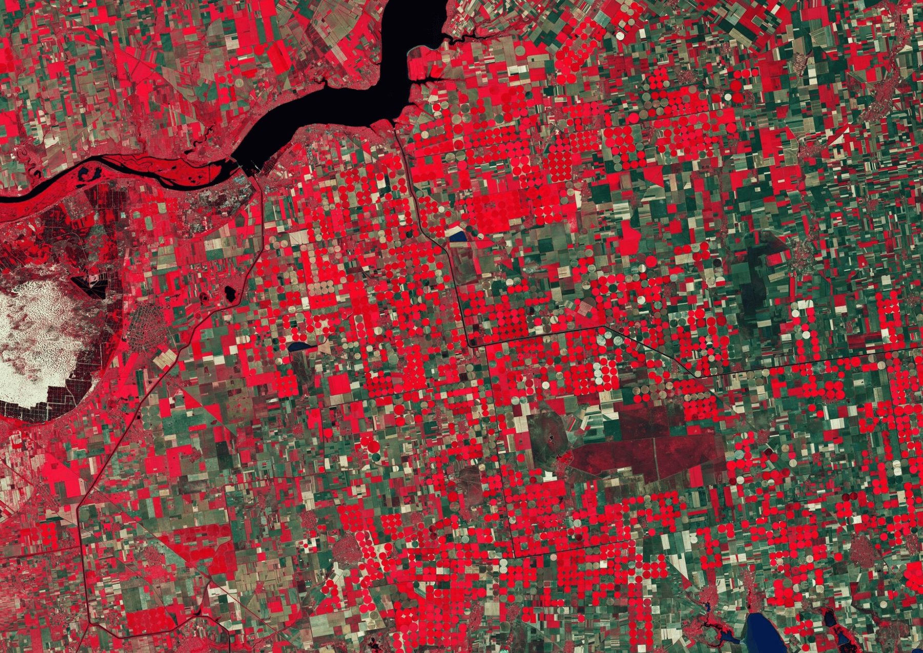

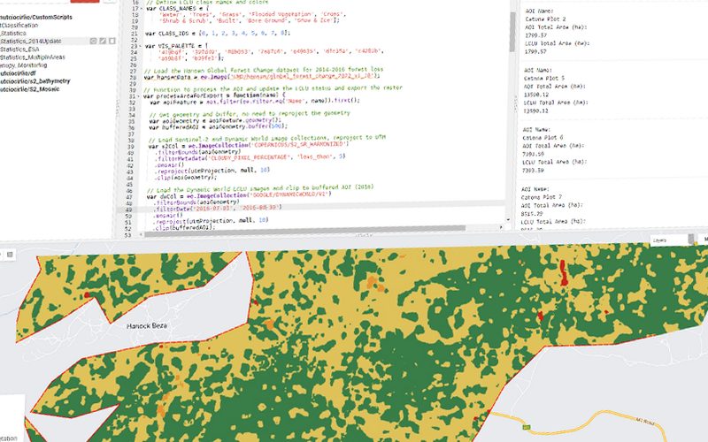
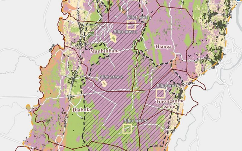
Using Google Earth Engine and Dynamic World V1, this project processes historical LCLU data to track deforestation trends and land cover changes in an Afforestation, Re- forestation, and Restoration (ARR) project, focusing on extracting land cover informa- tion for specific areas of interest.
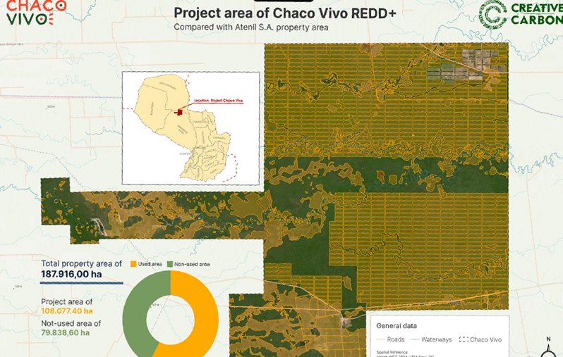
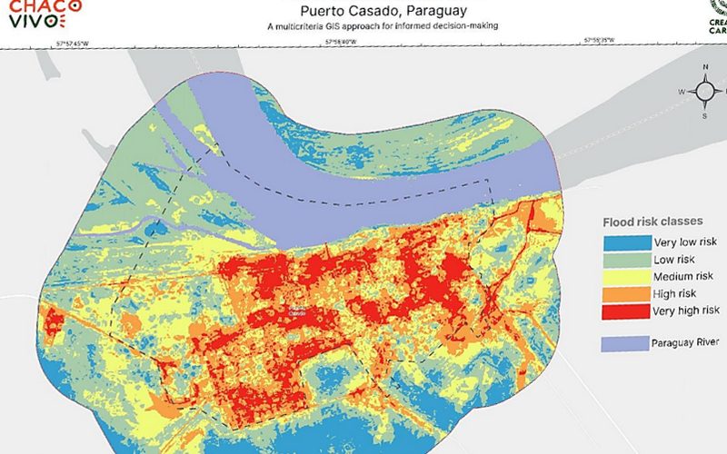
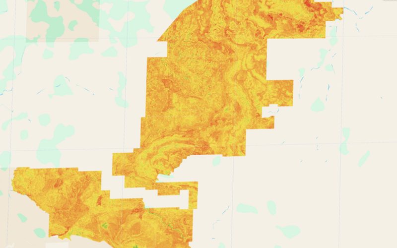
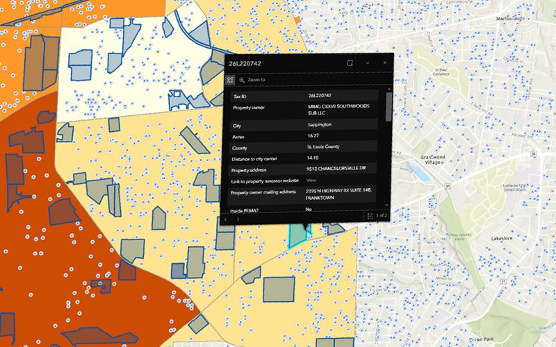
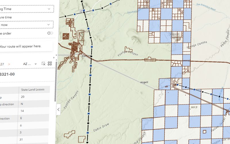
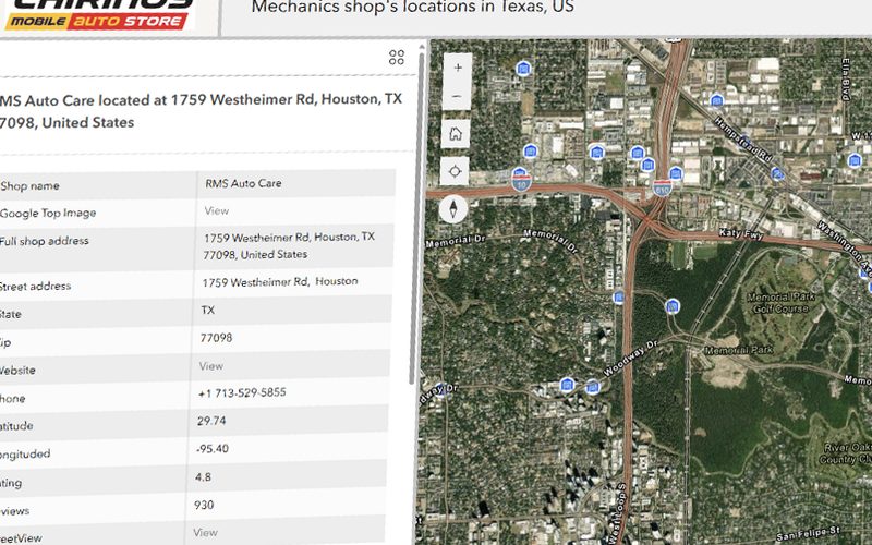
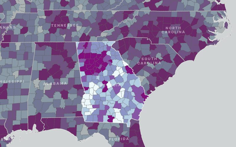
The map we delivered.
Shown whole, as the client received it.
Ready to put your geospatial data to work?
Tell us the area, the decision and the deadline. We reply within 24 hours, from the person who will deliver the work.
Based in Bucharest, working with clients on five continents.