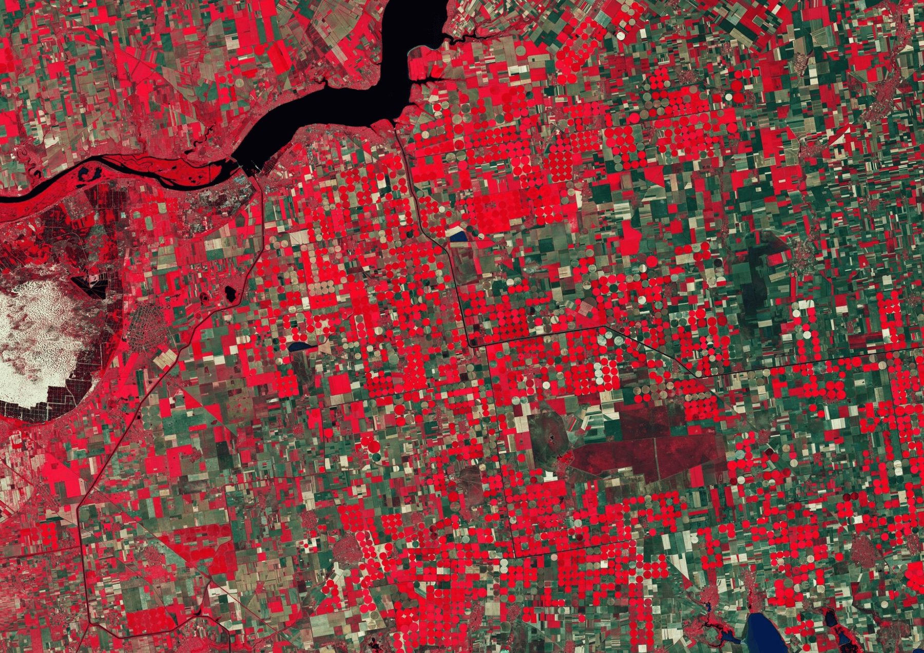

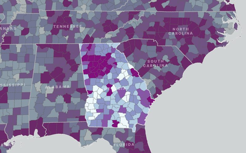
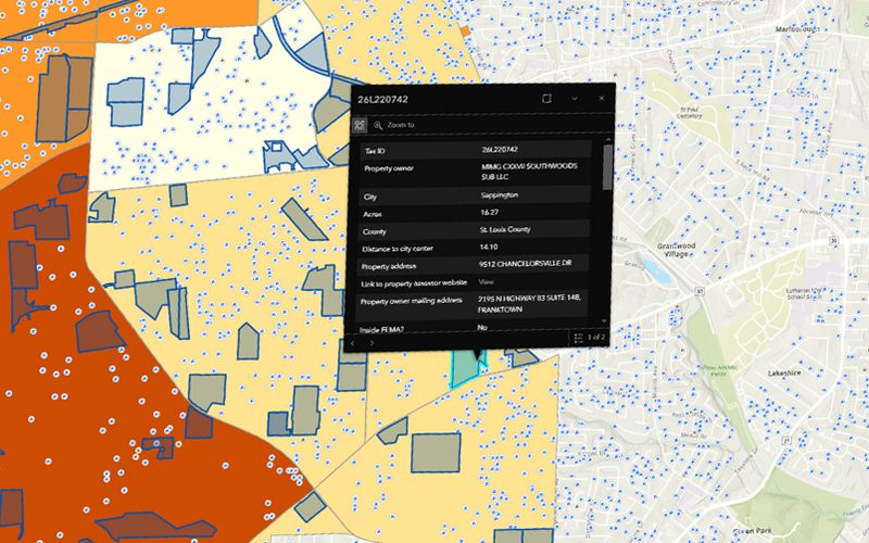
This project focuses on developing automated geospatial scripts using Python and ArcGIS to aggregate U.S. counties into optimized territory groupings based on population and spatial proximity. The solution ensures that adjacent counties are merged while maintaining state boundaries and minimizing ungrouped or isolated regions.
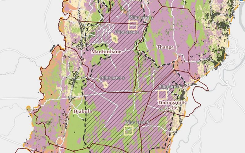
The map we delivered.
Shown whole, as the client received it.
Ready to put your geospatial data to work?
Tell us the area, the decision and the deadline. We reply within 24 hours, from the person who will deliver the work.
Based in Bucharest, working with clients on five continents.