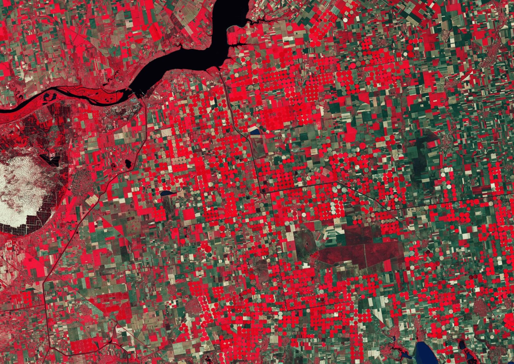

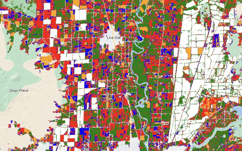
In this project, I utilized Google Earth Engine and Remote Sensing techniques to map rice fields in Sacramento Valley, CA, using multitemporal Sentinel-2 data. The primary focus was on flooding patterns in rice fields over specific time periods, which allowed for tracking changes and calculating the total rice field area.
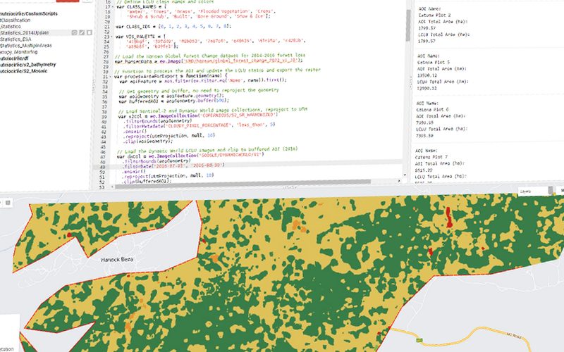
I developed a reusable script that begins with creating mosaics of multiple Sentinel-2 scenes to cover the entire area of interest, incorporating cloud masking for improved accuracy. The mosaic was then segmented, dividing the image into clusters based on spectral values to distinguish different crop types. This process allowed for the extraction and merging of multitemporal data into a single file that contained all detected rice fields during a reference period, such as May to July 2024.
The final data was available in both raster and vector formats, with detailed statistics generated and exported in user-friendly formats like .tif, .shp, and .xls for further analysis. This approach not only improved the accuracy of rice field mapping but also allowed for continuous monitoring using Sentinel-2 imagery. The project also employed cluster classification methods and the application of effective cloud masks to minimize errors, ensuring that the output was reliable for subsequent GIS applications and decision-making.
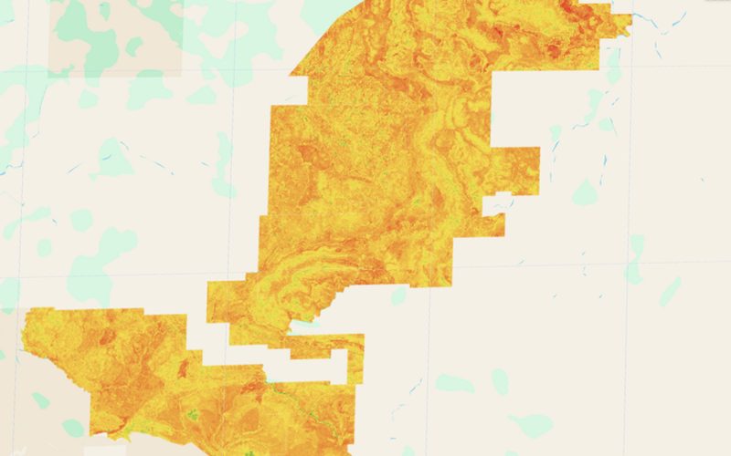
The map we delivered.
Shown whole, as the client received it.
How we did it.
4 steps, from the first data to the delivered map.
Key figures.
10m
Sensor Resolution
May-Jul2024
Reference Period
3(.tif, .shp, .xls)
Output Formats
GEE
Platform
Ready to put your geospatial data to work?
Tell us the area, the decision and the deadline. We reply within 24 hours, from the person who will deliver the work.
Based in Bucharest, working with clients on five continents.