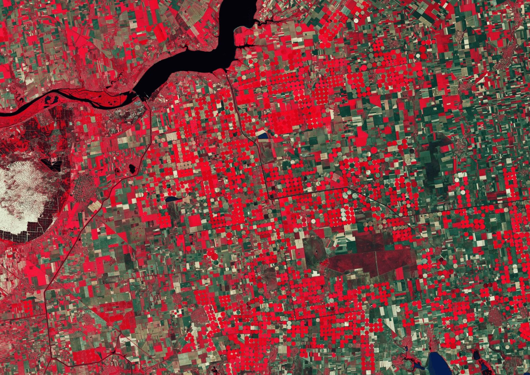

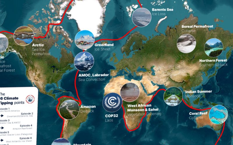
This project visualizes the journey of a sailing vessel connecting all 16 global climate tipping points. It includes a detailed static world map and nine animated route segments illustrating the voyage. Designed to inspire environmental awareness, the visuals combine clarity, exploration, and educational impact.
The map we delivered.
Shown whole, as the client received it.
Ready to put your geospatial data to work?
Tell us the area, the decision and the deadline. We reply within 24 hours, from the person who will deliver the work.
Based in Bucharest, working with clients on five continents.