
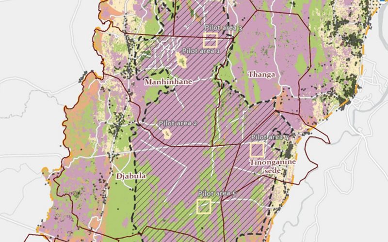
The ARR Verra Project in Mozambique focused on developing a detailed zoning map to determine the most suitable land use for four distinct value chains: Charcoal, Regenerative Agriculture, Livestock, and Reforestation.
The project involved creating a robust methodology for suitability analysis by integrating diverse geospatial datasets such as land cover, soil characteristics, water access, elevation, slope, NDVI vegetation health, and population density. The preprocessing phase standardized these datasets by converting them into a consistent projection and resolution (30-meter uniform grid), ensuring compatibility and accuracy across the analysis.
Key phases included:
- Dataset Preparation: Raster data (elevation, slope, NDVI) were reprojected and resampled to uniform 30-meter resolution. Vector layers (land cover, transport network, degraded areas) were converted to raster and clipped to study area. Urban building density was analyzed with multi-ring buffers.
- Suitability Analysis: Multicriteria analysis evaluated weighted factors for each value chain — terrain ruggedness, proximity to water sources, soil classification, vegetation health, and environmental conditions. Results were categorized into five statistical classes: very low, low, medium, high, and very high suitability.
- Value Chain Phase Mapping: Charcoal and Reforestation value chains were divided into two distinct implementation phases based on suitability criteria and Global Forest Watch deforestation data.
- Unified Zoning Map: All individual suitability maps were integrated to form a comprehensive final zoning map identifying the optimal value chain for each area, including zones for Grazing and Regenerative Agriculture.
The final output supported efficient resource allocation and environmental conservation by providing actionable insights into the best land use options for each community within the project area.
Harta pe care am livrat-o.
Prezentată integral, așa cum a primit-o clientul.
Cum am lucrat.
4 pași, de la primele date la harta livrată.
Cifre-cheie.
4
Value Chains Analyzed
30m
Grid Resolution
5
Suitability Classes
6+
Datasets Integrated
Mai multe proiecte.
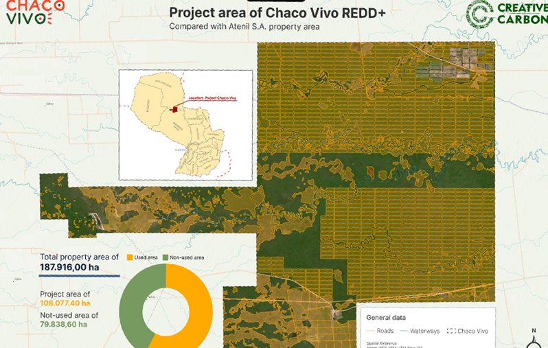
Chaco Vivo REDD+
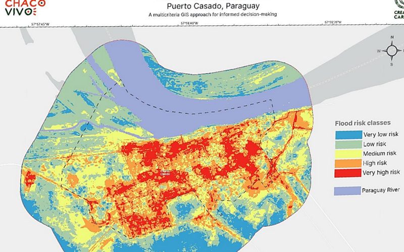
Risc de inundații, Puerto Casado
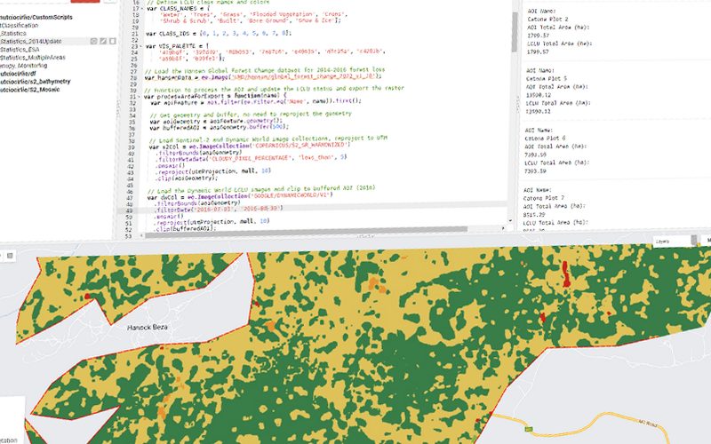
Tendințe în acoperirea terenului și defrișare
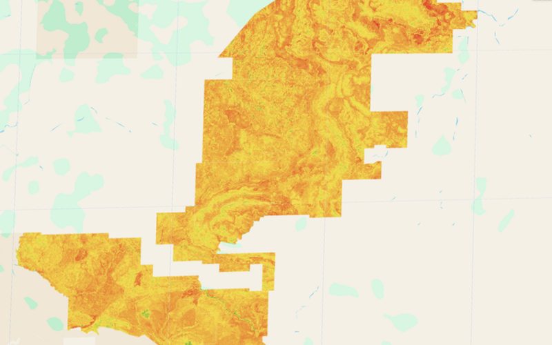
Refugii de umiditate pentru fauna sălbatică
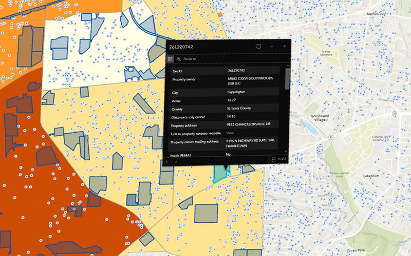
Aplicație web geospațială pentru imobiliare
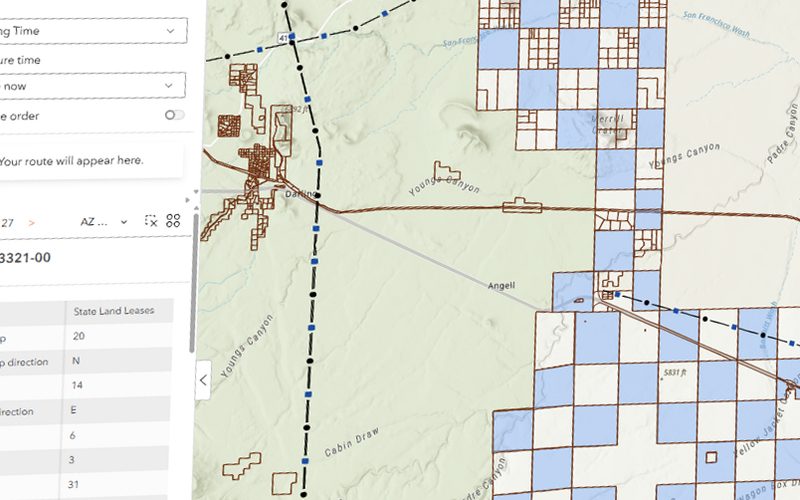
Alegerea amplasamentului unui parc solar, Arizona
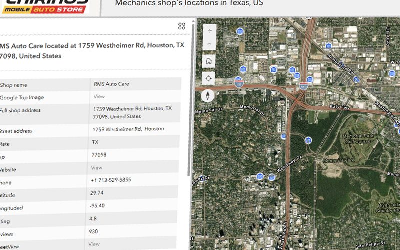
Analiza pieței auto din Texas
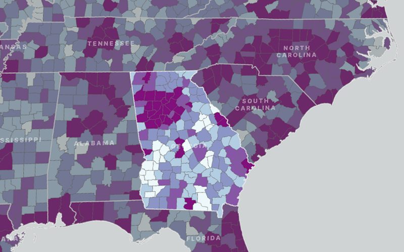
Proiectarea automată a teritoriilor din SUA
Gata să-ți pui datele geospațiale la lucru?
Spune-ne zona, decizia și termenul. Îți răspunde în 24 de ore chiar persoana care va livra proiectul.
Cu sediul în București, lucrăm cu clienți de pe cinci continente.