01What does parcel due diligence with GIS include?
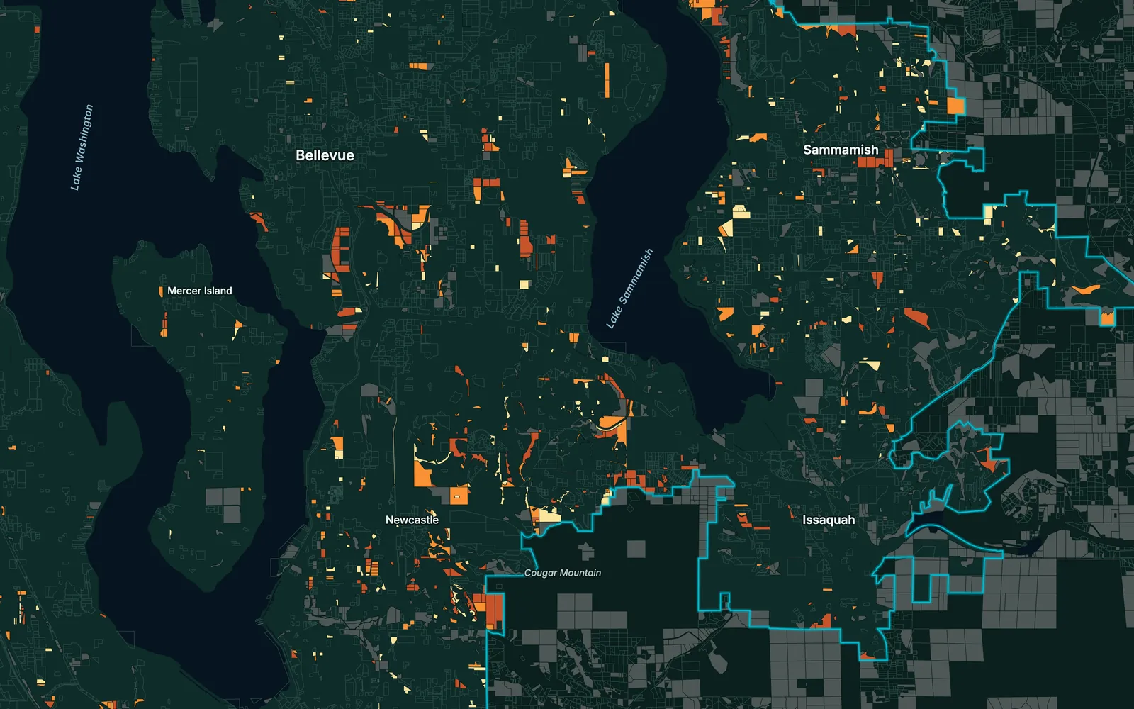
It checks each parcel against the layers that decide whether it can be built on: zoning and density, flood zones, wetlands and protected areas, slope and nearby services. Each parcel gets a score and an estimated buildable area, in a table and on a web map.
02Can you screen thousands of parcels at once?
Yes. The screening is built as a workflow, so the parcels of a whole county go through the same steps as a shortlist of ten. A larger area means more data, not a different method.
03Can you work from our own parcel list?
Yes. Send a list, a CAD drawing or a spreadsheet of addresses, and we match it to the parcel layer. Where the cadastre is missing or out of date, we tell you which parcels could not be matched.
04How exact is the buildable area?
Close enough to compare parcels, not to sign on. We subtract the land that cannot carry a building, using your setback rules and the slope, flood and protection layers, and report what is left. The surveyor and the planning authority have the final word.
05How do we see the results?
In a web map: parcels coloured by score, a pop-up with every attribute, and filters for area, zoning or flood exposure. The same data comes as a table and as GIS files for your own software.