

Before you buy the land
Where should it go?
Every parcel scored on resource, slope, land cover, constraints and grid distance, then ranked.
Solar park site selectionWind farm sitingBattery storageCorridor routing
Home/Industries/Energy
From the first search for land to the years a plant runs. We find sites that work, watch them from orbit while they are built, and map what needs attention once they run.
Energy projects are decided on land: where the resource is good, the slope works, the grid is close and nothing protected stands in the way. Our renewable energy land screening combines those layers into suitability maps and ranked shortlists for solar parks, wind farms and battery storage, so the weak sites are ruled out before money is spent on them.
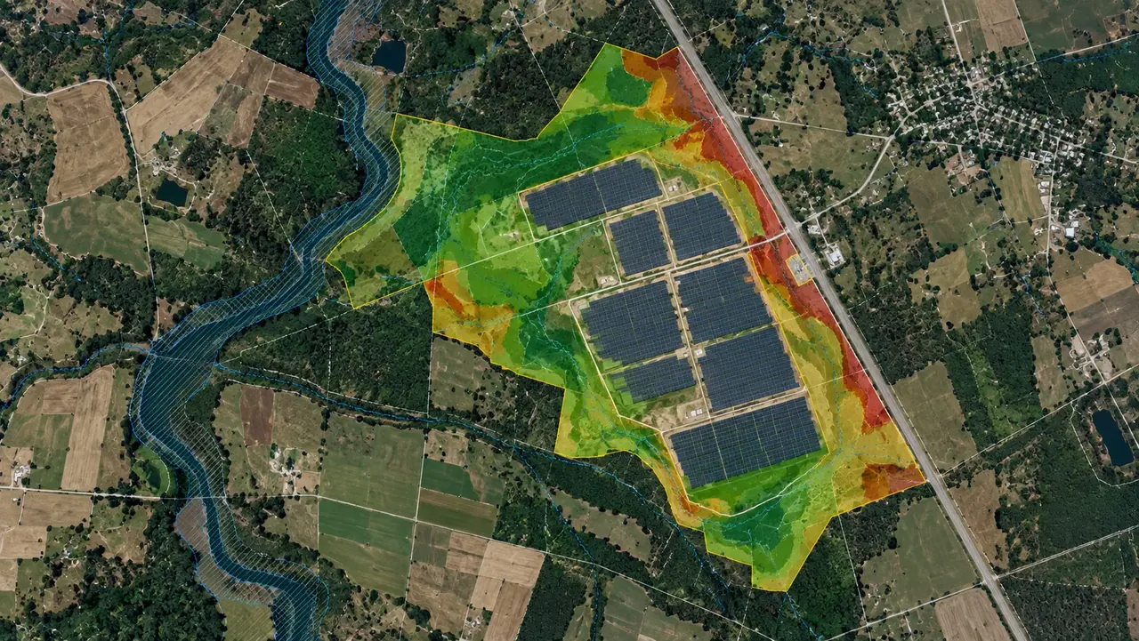
Once a site is chosen, we keep watching it. Satellite imagery shows how construction moves, where panels and turbines stand, and, on a running solar park, where the grass between the rows needs mowing, so crews go only where they are needed.
Our screening covers solar farm suitability, wind energy screening, battery storage siting, grid-connection analysis and environmental constraints screening, all feeding utility-scale project feasibility analysis.
Suitability ModelsConstraint MapsRanked Site ShortlistsScreening Databases
The types of analysis we run in this industry, each with its examples here.
All eleven typesEvery energy project meets the same three moments.
Before you buy the land
Every parcel scored on resource, slope, land cover, constraints and grid distance, then ranked.
Solar park site selectionWind farm sitingBattery storageCorridor routing
While it is built
Satellite images compared over time: what was cleared, built or changed, on site and along the route.
For the years it runs
Grass between the rows mapped in 20 × 20 m cells, panels and turbines counted, sites on one web map.
The same work, in the form each person on your team needs.
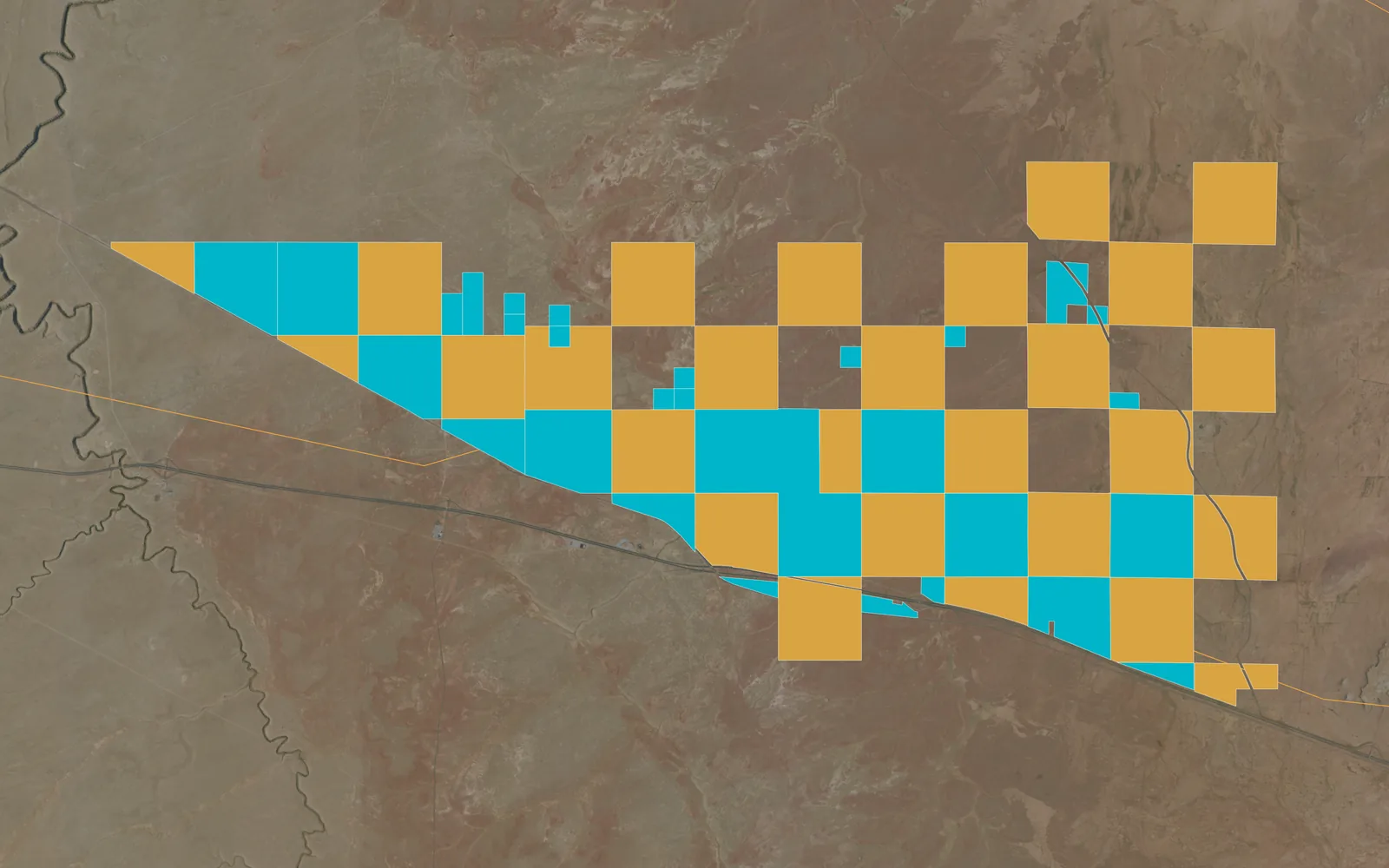
Solar-farm site selection, Arizona
A web app that ranks parcels for a solar farm, open to the whole team.
See the projectSolar-farm site selection, Arizona
A web app that ranks parcels for a solar farm, open to the whole team.
See the projectEvery map here is our own work; the caption under it says what it shows.
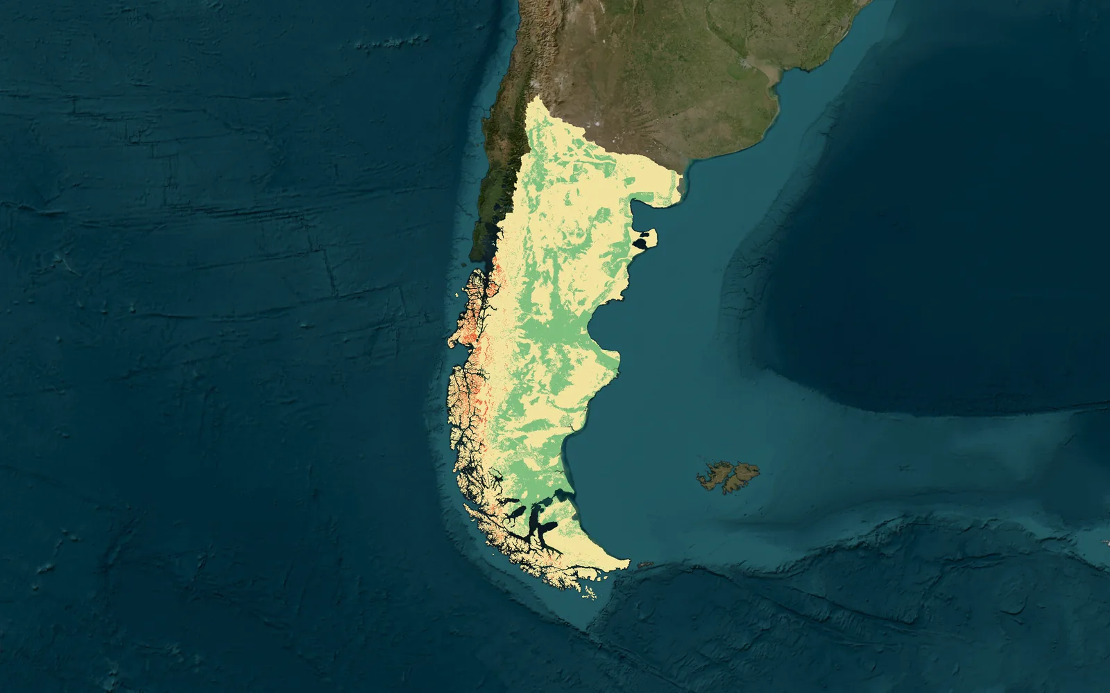
Wind-farm suitability, Patagonia, Argentina
The projects we delivered in this industry: open one to see its page or its whole map.
All projectsYes. We combine wind resource, distance from homes, slope, land cover, protected areas and grid distance into one suitability map and a ranked shortlist.
Yes. We rank parcels by grid distance, land constraints and access, and show why each one ranks where it does.
Yes. From very-high-resolution satellite imagery we map where the grass between the rows needs mowing, so crews go only where they are needed.
Yes. We compare images over time and map what was built, cleared or changed on the site.
Yes. We detect them with machine-learning models and deliver them as a map layer you can count, filter and update.
Solar, wind and battery storage.
Yes — the models are built to run across large areas and re-run as criteria change.
Yes — protected areas, hazards and regulatory limits are part of the screening.
Suitability models, constraint maps, ranked shortlists and a screening database.
The same way of working, for other kinds of project.
 Carbon, Forests & EnvironmentCarbon projects, forest monitoring and MRV.
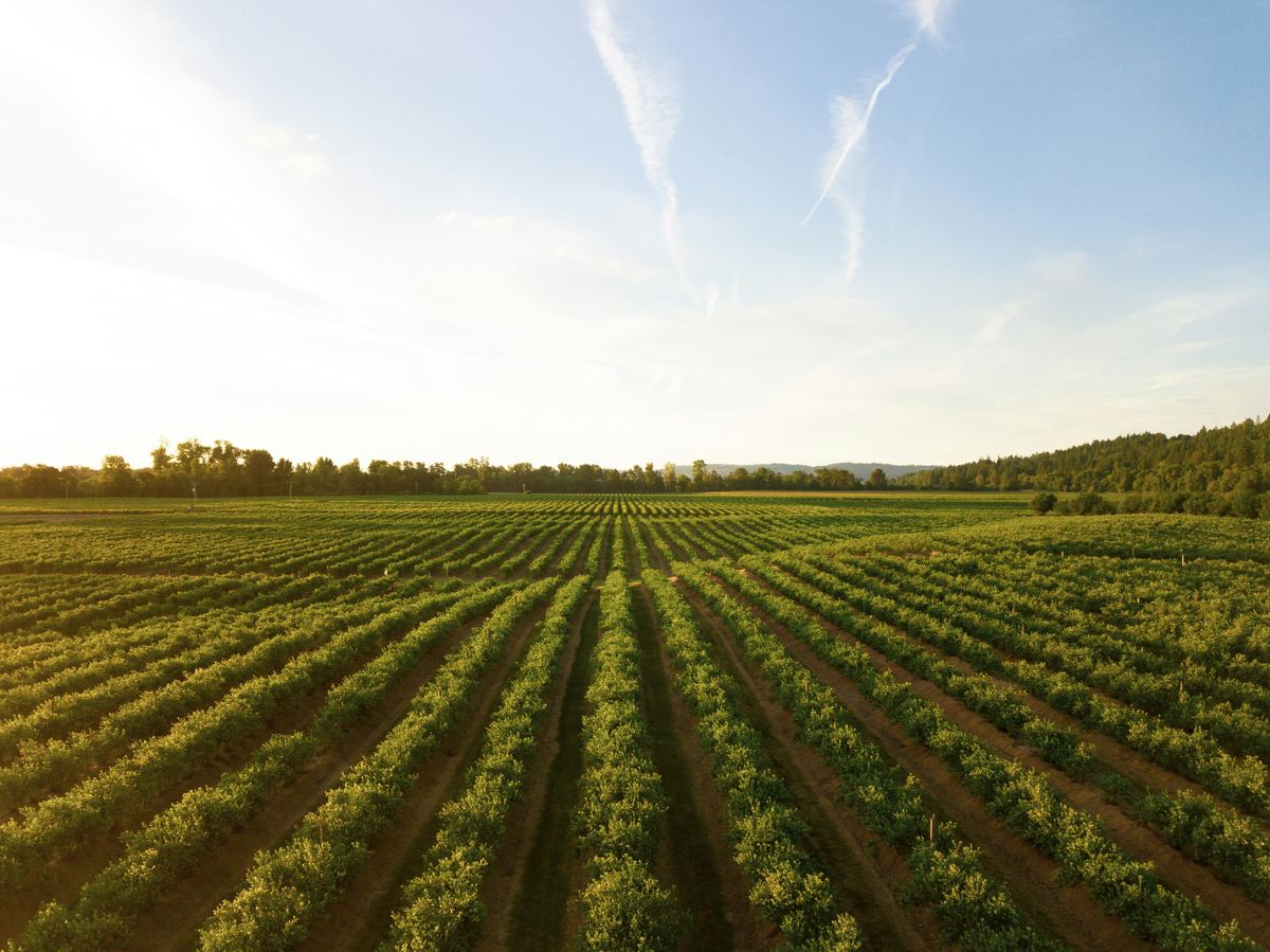 Agriculture & Land ManagementCrop monitoring, field analytics and land-use change.
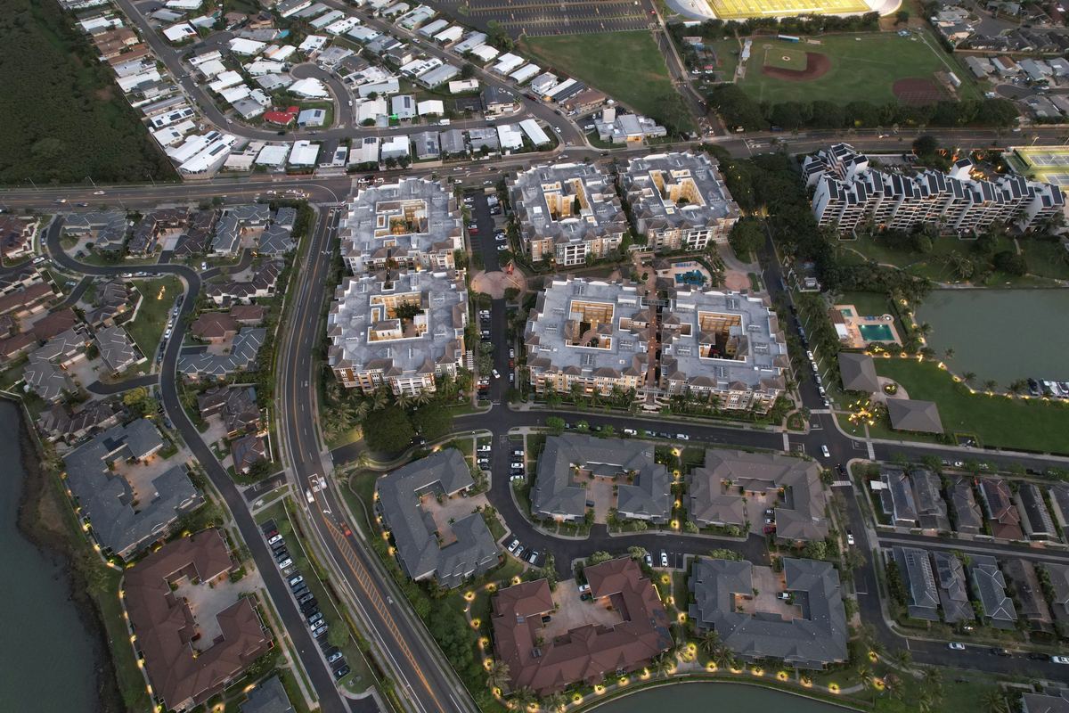 Real Estate & DevelopmentParcel screening, zoning and flood constraints.
 Retail & Market IntelligenceBest locations, trade areas and competitors.
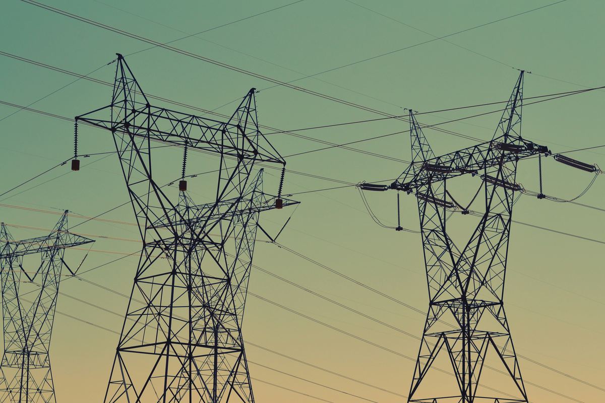 Infrastructure & UtilitiesNetwork planning and service coverage.
 Public Sector & Urban PlanningUrban planning, flood risk and public services.
Tell us the area, the decision and the deadline. We reply within 24 hours, from the person who will deliver the work.
Based in Bucharest, working with clients on five continents.
