

GeoTIFF or COG
One true-scale image
The whole site in one corrected image, where distances and areas can be measured.
We plan and fly the survey, process the imagery and LiDAR, and deliver the final product. Photogrammetry turns overlapping photos into one orthomosaic and a surface model; LiDAR processing cleans the point cloud and classifies it into ground, vegetation and buildings.
Where a drone is not the right tool, we orthorectify very-high-resolution satellite imagery so it lines up with your maps, and we compare surveys from different dates to show what was built or changed.
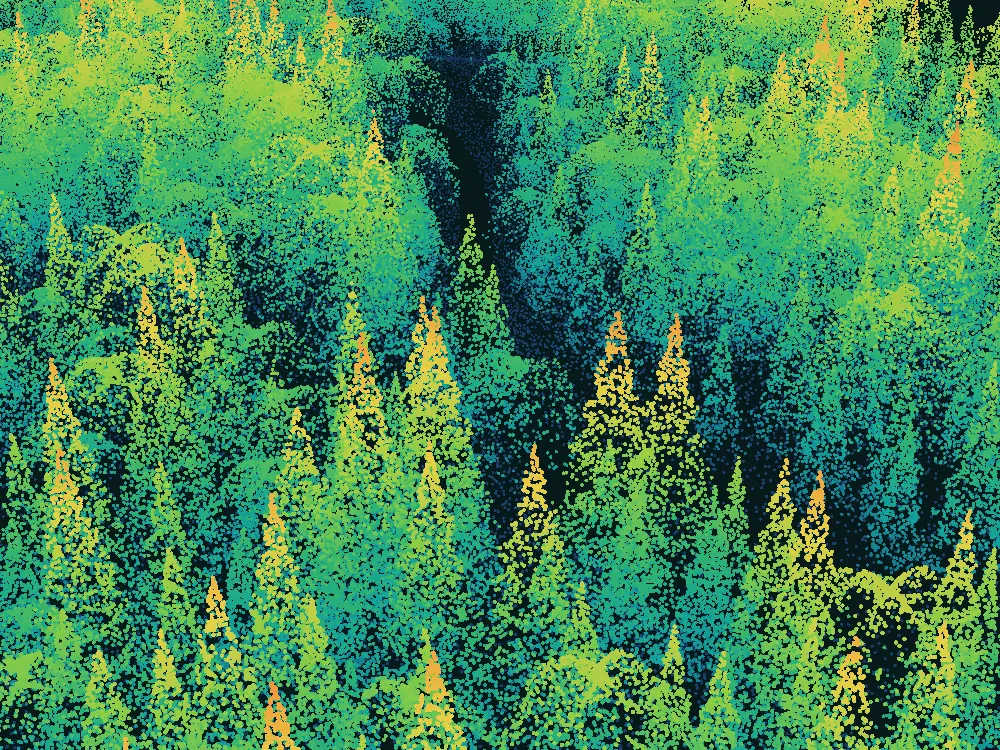
From the flight plan to the final product. They play in turn; pick one.
The area, the purpose and the flight plan agreed, then the survey flown.
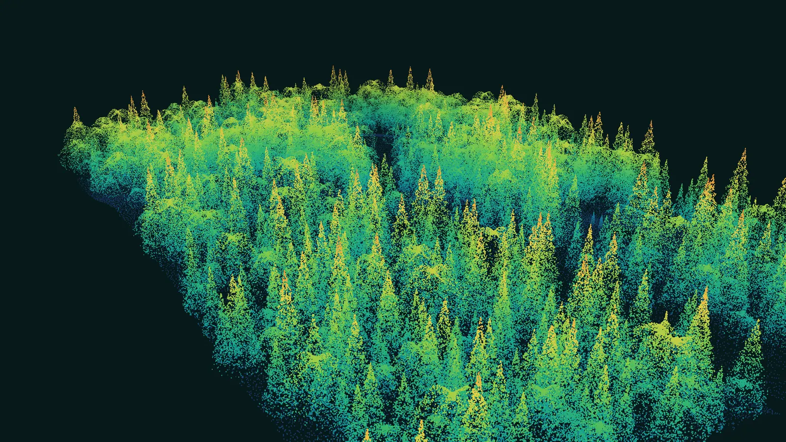
Survey planning and flight
The area, the purpose and the flight plan agreed, then the survey flown.
What lands with your team at the end of the work. The bands play in turn; open any one.
GeoTIFF or COG
The whole site in one corrected image, where distances and areas can be measured.
Surface and terrain
Height models for slope, volume, drainage and flood studies.
LAS or LAZ
Ground, vegetation and buildings separated, ready for your software.
Vector lines
Contour lines for plans, drawings and maps.
What we need from you, what you receive, and what stays yours.
You give us
The area, the decision and the deadline.
We deliver
OrthomosaicDSM / DTMClassified point cloudContours
You own it
The data and documentation are handed over.
General kinds of data; which sources we use depends on the place and the question.
Overlapping photos flown over the site, down to centimetres.
Airborne and drone LiDAR.
GEDI canopy height and forest structure, sampled across whole regions.
Site plans, CAD drawings and earlier surveys.
Public elevation models for the wider area.
The industries where this service is part of our work, and what we do in each.
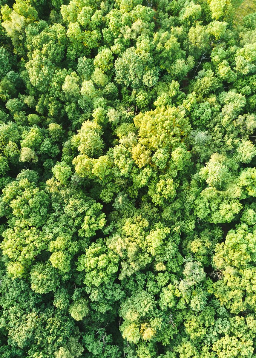 Carbon, Forests & EnvironmentCanopy height and biomass for carbon projects
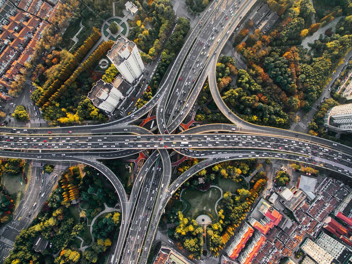 Public Sector & Urban PlanningTerrain for flood-risk mapping
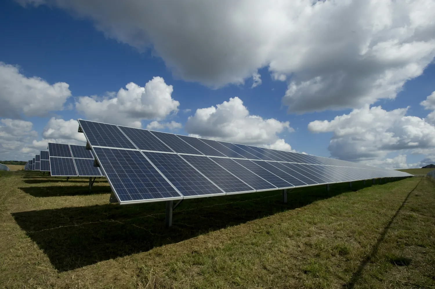 EnergySlope and terrain for solar and wind layouts
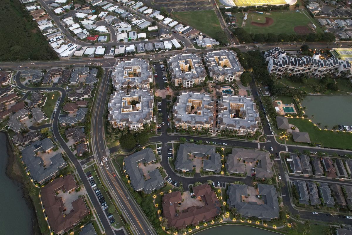 Real Estate & DevelopmentBuildable area from terrain
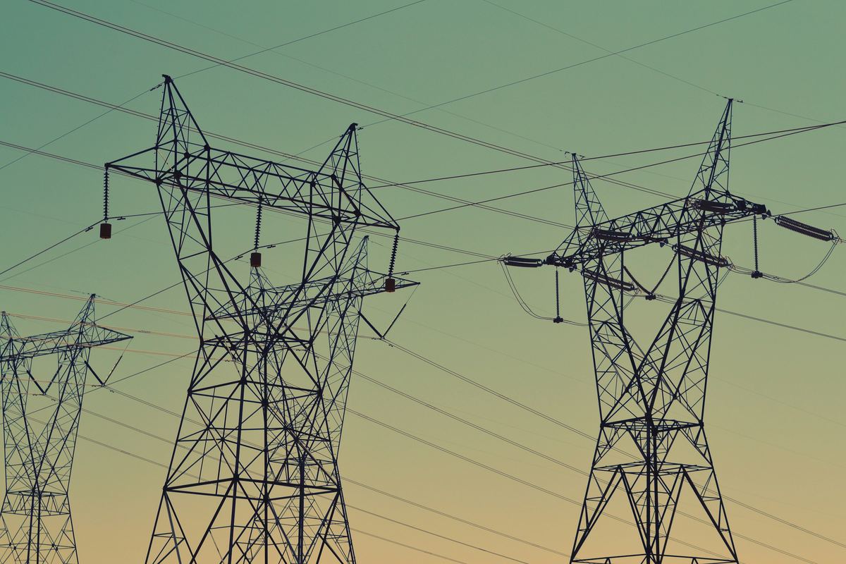 Infrastructure & UtilitiesCorridor terrain, slope and volumes
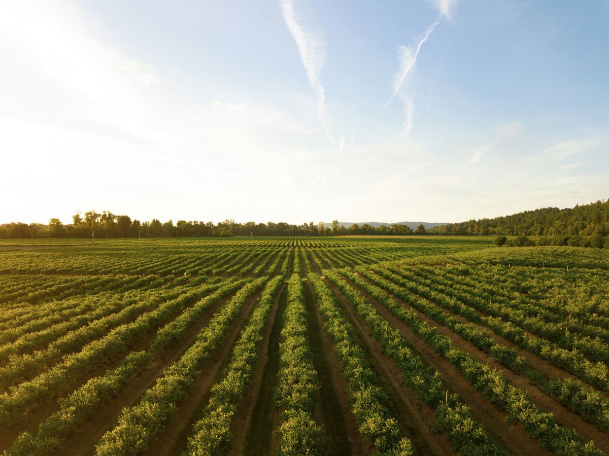 Agriculture & Land ManagementTree counting and orchard gap detection
The types of analysis this service delivers, each on its own page.
All eleven types5 steps, from the first question to the delivered result.
The caption under each map says whether it comes from a project we delivered or is an example analysis.
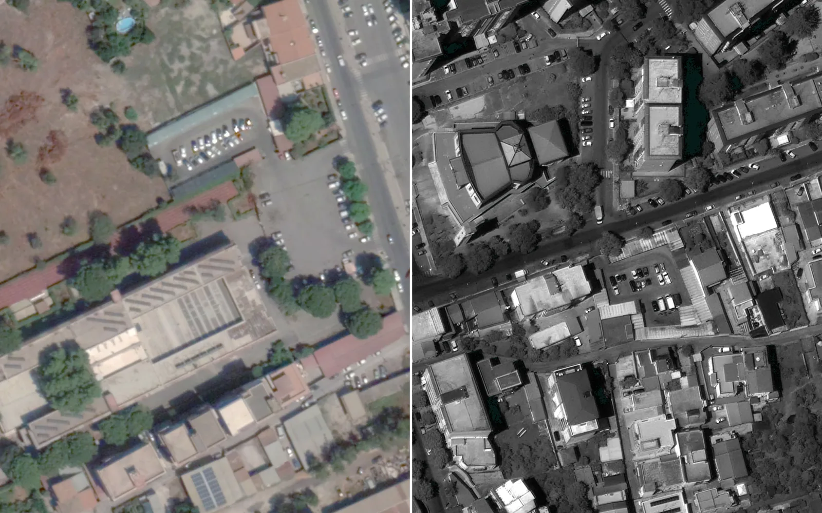
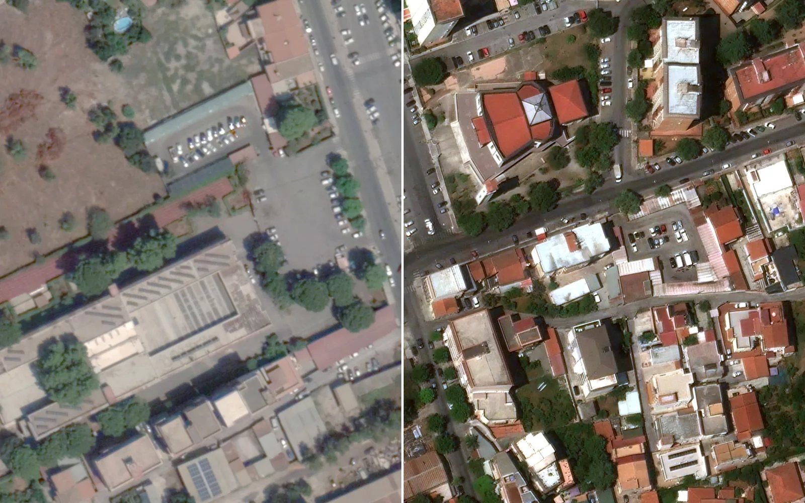
One city block in Palermo, Sicily: the 2025 satellite image before and after orthorectification
Left: the 2024 reference. Right: our 2025 orthorectified image; roads and buildings continue across the join.
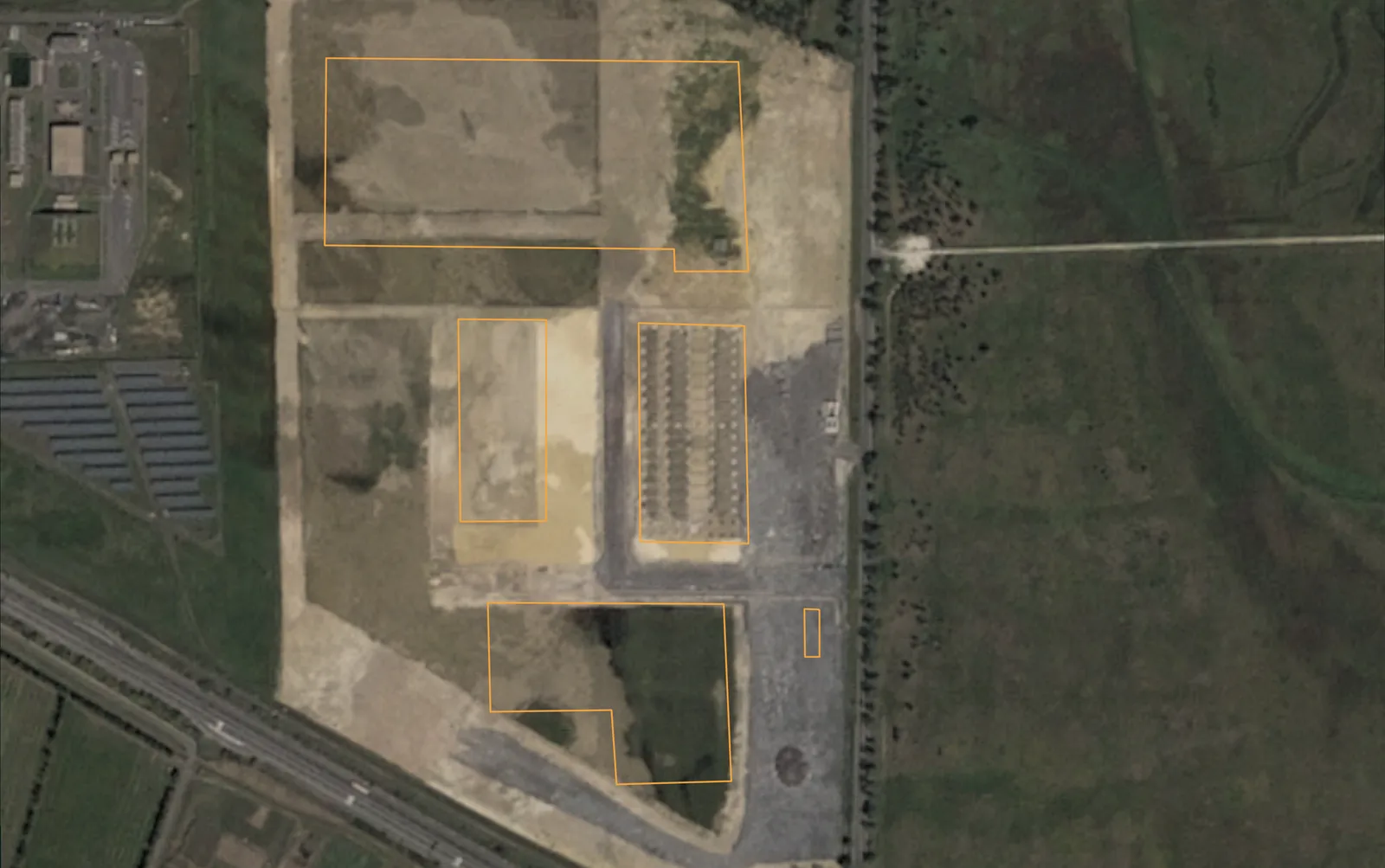
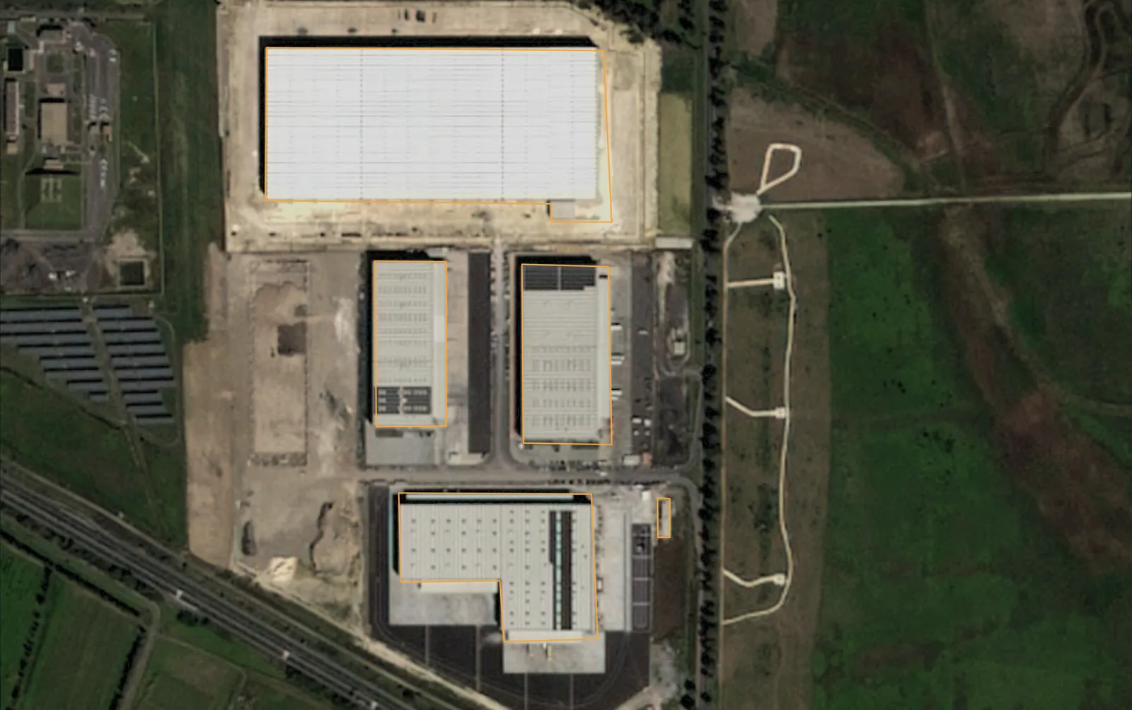
Buildings that appeared between 2020 and 2024, Catania, Sicily
Drag to compare
Across the Catania site: 293 new buildings (408,785 m²) and 13 removed.
An orthomosaic, surface and terrain models (DSM and DTM), a classified point cloud and contours, in the formats your team uses.
Yes. For wider areas we orthorectify very-high-resolution satellite imagery so it lines up with your maps.
Yes. We process data you already flew and compare it with earlier surveys.
GeoTIFF or Cloud-Optimized GeoTIFF for the orthomosaic and the models, LAS or LAZ for the point cloud, and vector files for the contours.
Tell us the area, the decision and the deadline. We reply within 24 hours, from the person who will deliver the work.
Based in Bucharest, working with clients on five continents.
