Running
Data that moves itself
From source to map, without hands.
Home/Services/Geospatial Data Pipelines & Automation
Can this run every week without us?
Your geospatial processing, automated: imagery, vectors and tables in, checked results out, on a schedule. Python GIS automation and spatial data management: ArcPy and GeoPandas scripts, PostGIS databases and Google Earth Engine pipelines that run without manual steps.
We build scalable geospatial databases and automate repetitive GIS work. From automations and scripts to cloud processing, workflows inside web applications and back ends, and end-to-end pipelines, we make spatial data flow without manual effort.
That includes automated data pipelines, geospatial ETL, database design, monthly data-update systems, API integrations and cloud-based spatial processing — built on Python, ArcPy, GeoPandas, PostGIS, SQL and Google Earth Engine.
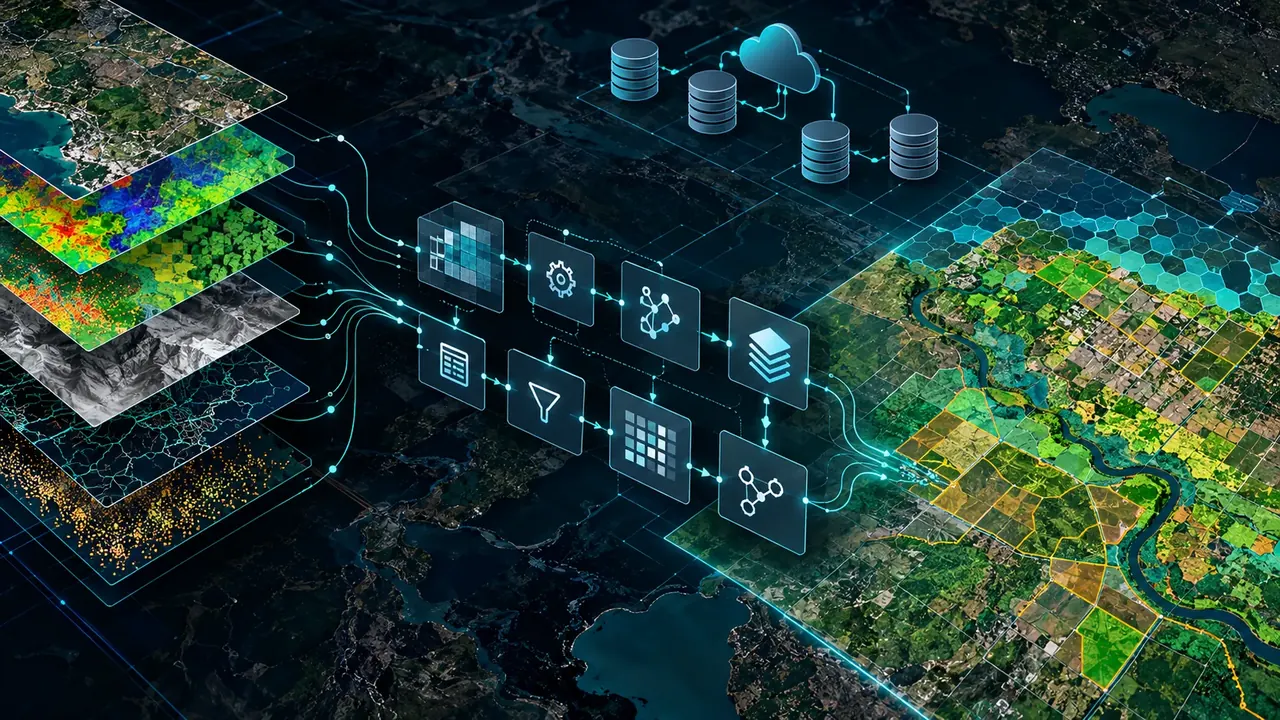
Pipelines in Python, ArcPy, GeoPandas, PostGIS, SQL and Google Earth Engine, end to end.
Automated ETL and ELT pipelines for spatial data.
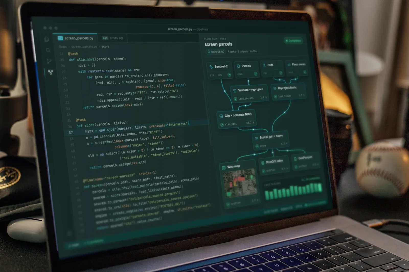
ETL pipelines
Automated ETL and ELT pipelines for spatial data.
What lands with your team at the end of the work. The bands play in turn; open any one.
Running
From source to map, without hands.
On a timer
New data processed as it arrives.
Scales up
Processing that grows with the data.
Checked
What was checked and what was fixed.
Connected
Your systems and the pipeline, linked.
Yours to run
Tools your team runs without us.
What we need from you, what you receive, and what stays yours.
You give us
The area, the decision and the deadline, with your databases, feeds and legacy files.
We deliver
Automated ETL pipelinesScheduled processingCloud workflowsData quality reportsAPI integrationsPython toolboxes
Built with
Python, ArcPy, GeoPandas, PostGIS, SQL and Google Earth Engine.
You own it
The data, code and documentation are handed over, so your results never lock you into one vendor.
General kinds of data; which sources we use depends on the place and the question.
Satellite archives, processed in the cloud.
AWS and Azure.
The databases you already run.
Streams that never stop.
Data from other services.
Old files and drawings.
The industries where this service is part of our work, and what we do in each.
 Carbon, Forests & EnvironmentEarth Engine pipelines for land-cover time series
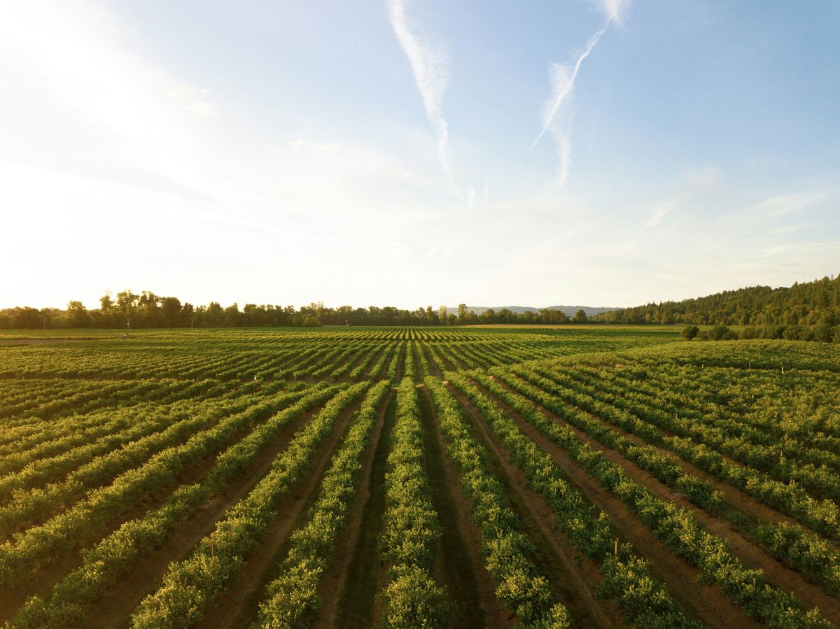 Agriculture & Land ManagementSentinel-2 pipelines in Google Earth Engine
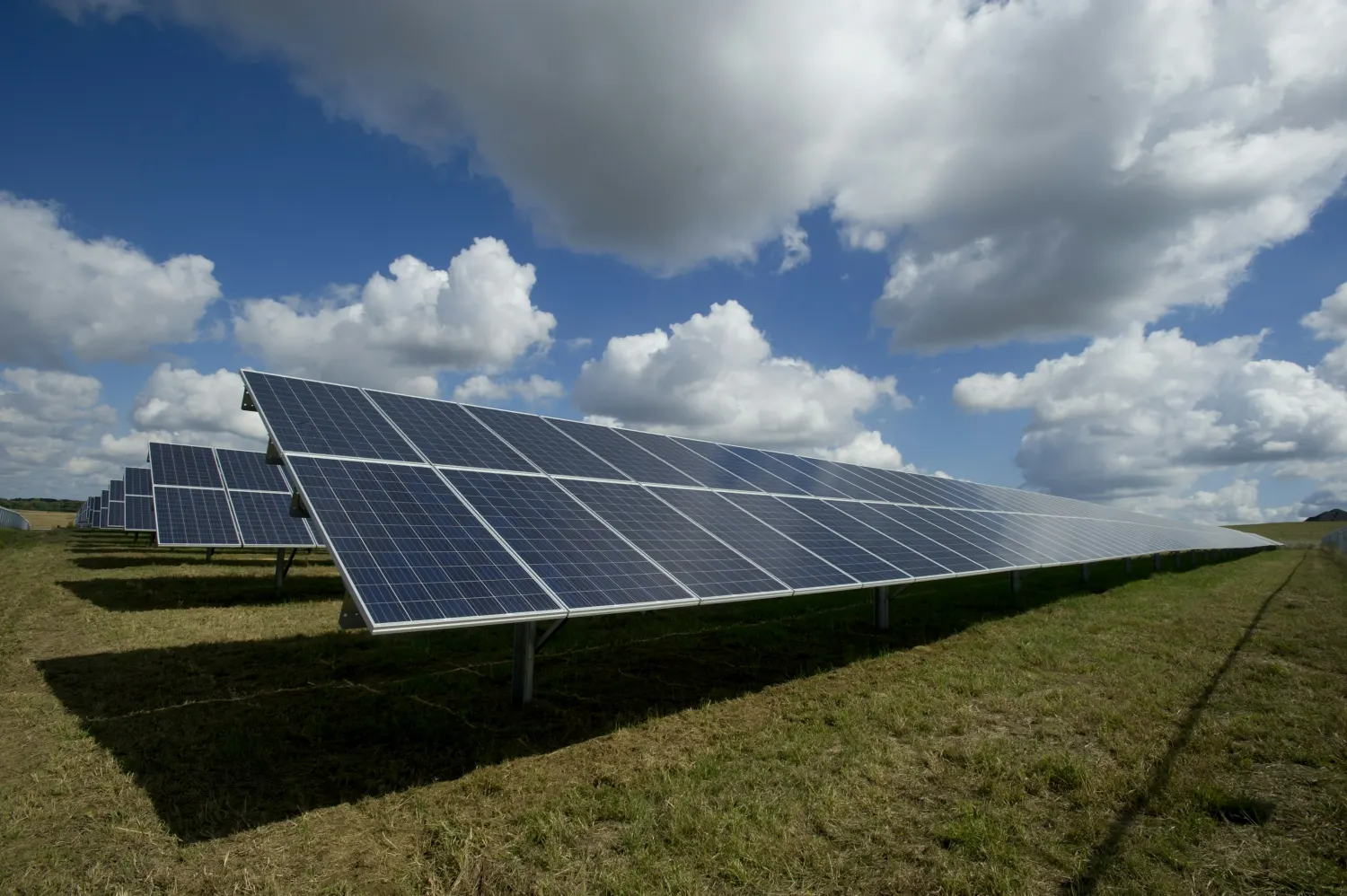 EnergyScreening pipelines that re-runCAD to GIS conversion
 Retail & Market IntelligenceAutomated territory and data pipelines
 Infrastructure & UtilitiesCAD and legacy data conversion, georeferencing
The types of analysis this service delivers, each on its own page.
All eleven types5 steps, from the first question to the delivered result.
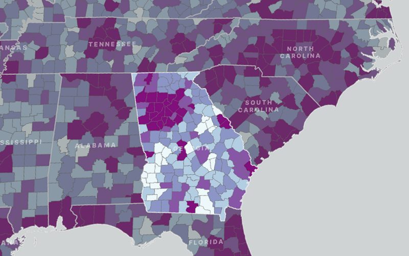
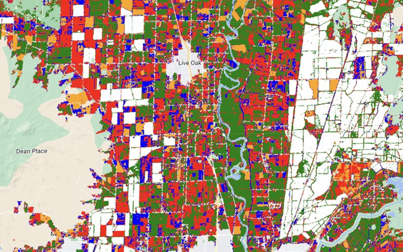
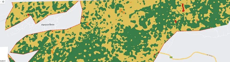
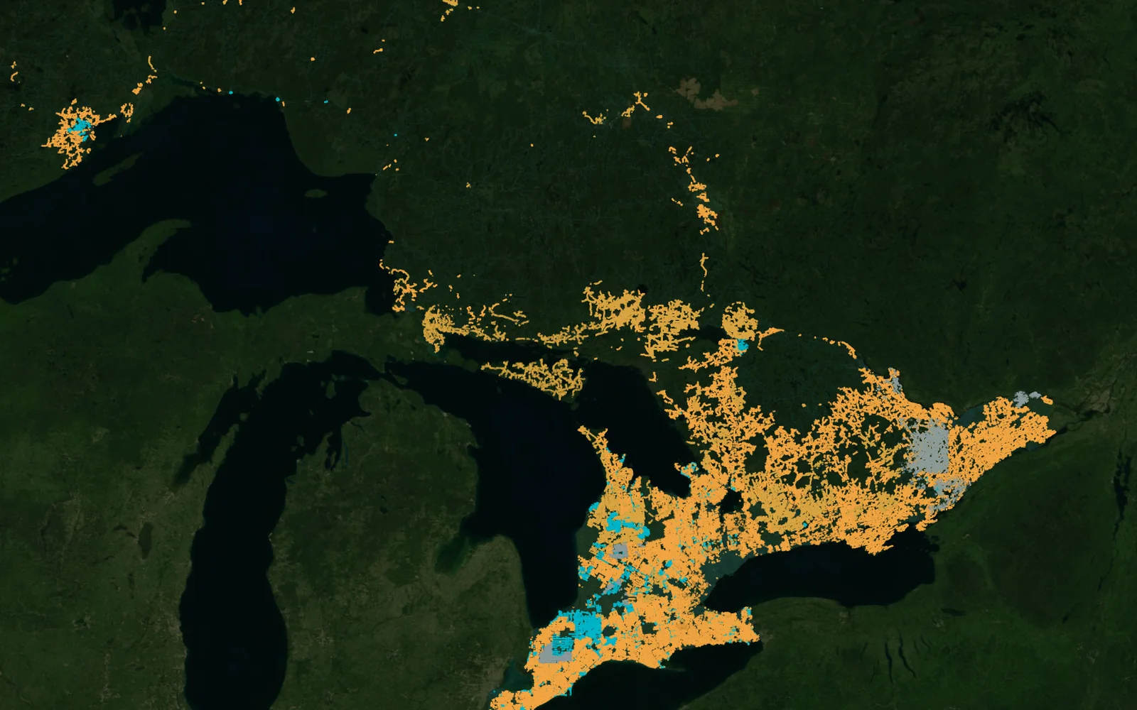
The caption under each map says whether it comes from a project we delivered or is an example analysis.
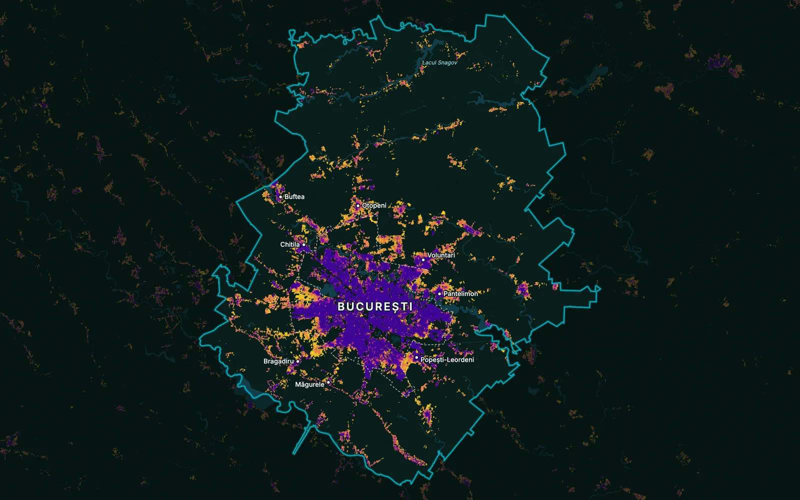
Example analysis on open data
Built-up growth 1975–2020, Bucharest and Ilfov, Romania
Built-up land by when it first appeared: cells at least 20% built up, km² in the study area
Yes — scheduled update systems are a core deliverable.
Yes — PostGIS/SQL database design from scratch or refactors.
Yes — cloud-based spatial processing, including Google Earth Engine.
Yes — we build processing into web apps and back ends.
Yes — from source ingestion to processed, ready-to-use outputs.
Articles from our project work that explain the method.
All articlesTell us the area, the decision and the deadline. We reply within 24 hours, from the person who will deliver the work.
Based in Bucharest, working with clients on five continents.