

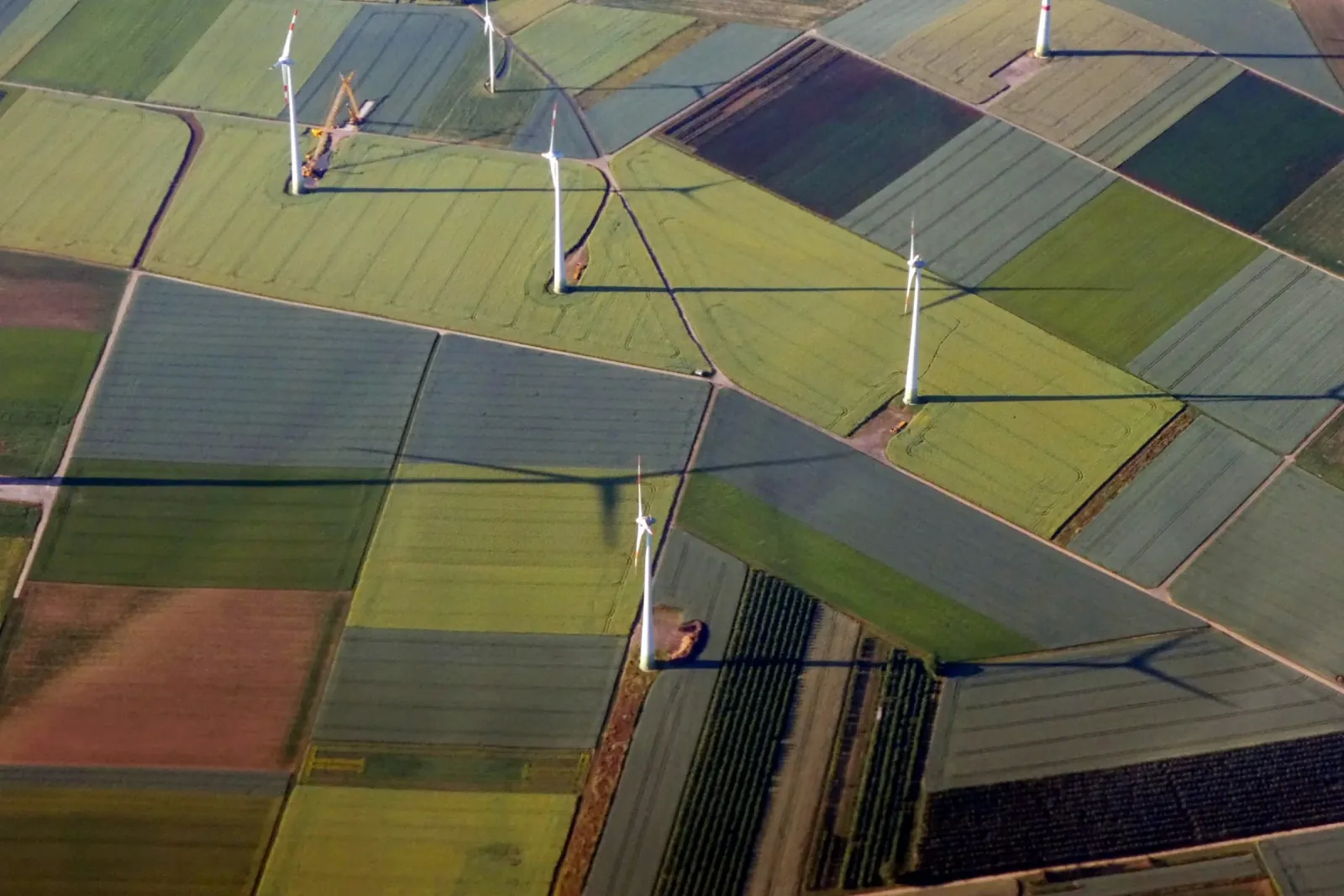
How it is built
- 01Criteria
- 02Weights
- 03Ranked sites
Where it is used
- Energy
- Solar parksWind farmsEV chargingEnergy storage
- Real Estate & Development
- Land for development
- Retail & Market Intelligence
- New store sites
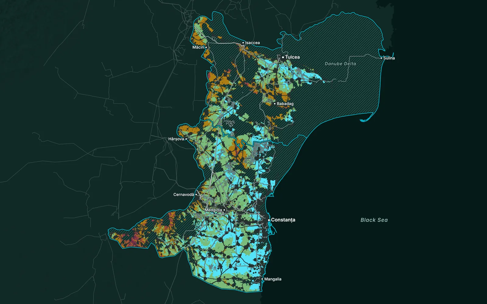
Home/Solutions
Eleven types of analysis. Each answers one question; most are used across several industries.
What are you working on? Pick one to see how it is built and where we use it.
How it is built
Where it is used
How it is built
Where it is used
How it is built
Where it is used
How it is built
Where it is used

How it is built
Where it is used
How it is built
Where it is used
How it is built
Where it is used
How it is built
Where it is used
How it is built
Where it is used
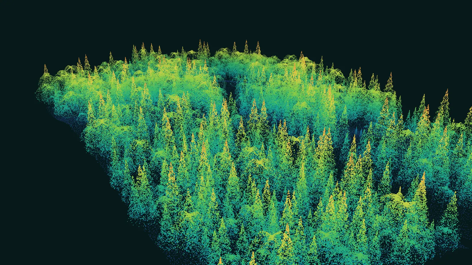
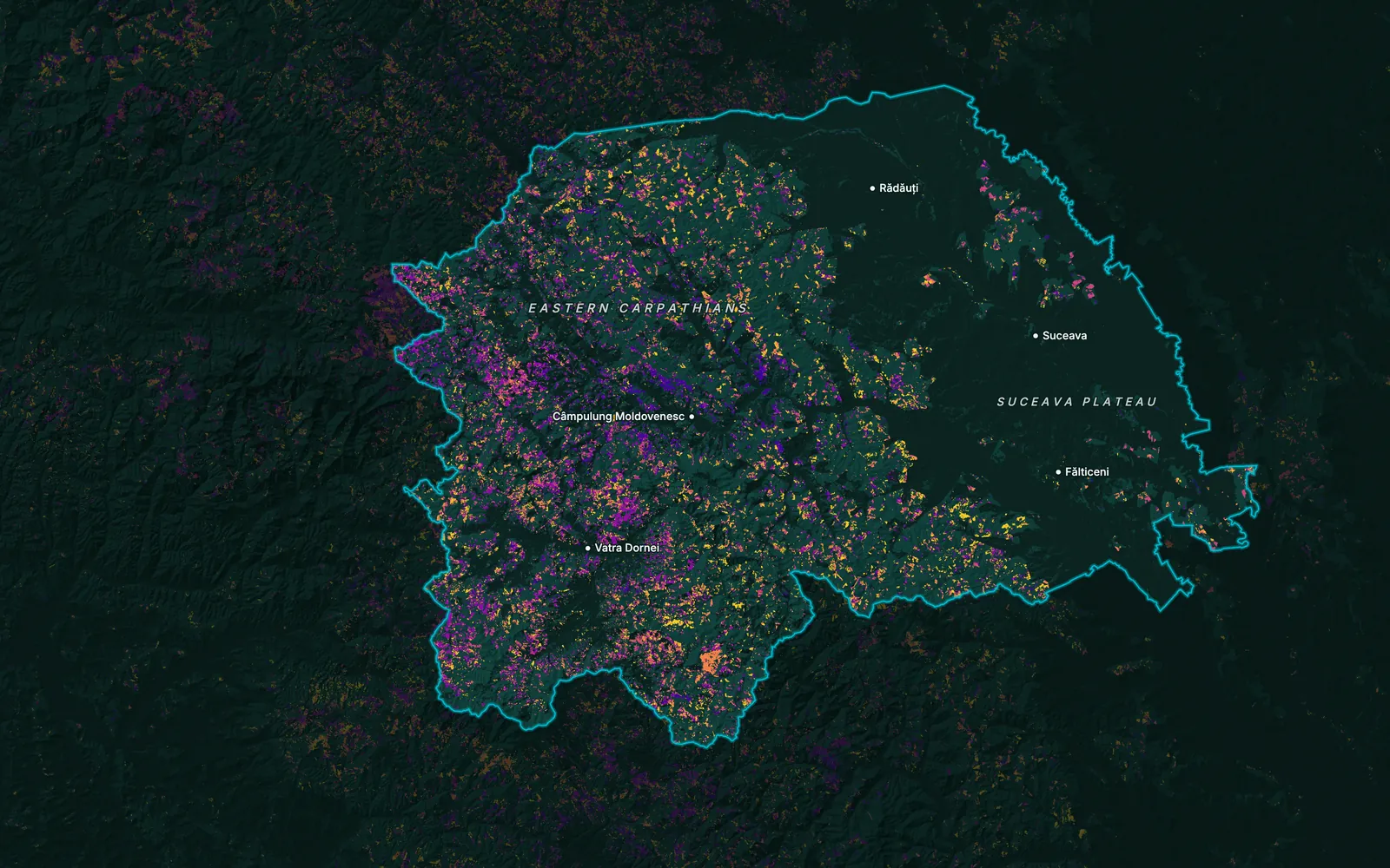
Where is every object, across a whole region?
Open the solution
How it is built
Where it is used

How it is built
Where it is used
Tell us the area, the decision and the deadline. We reply within 24 hours, from the person who will deliver the work.
Based in Bucharest, working with clients on five continents.
