Yours to keep
A model for your question
Models trained and tested on your area.
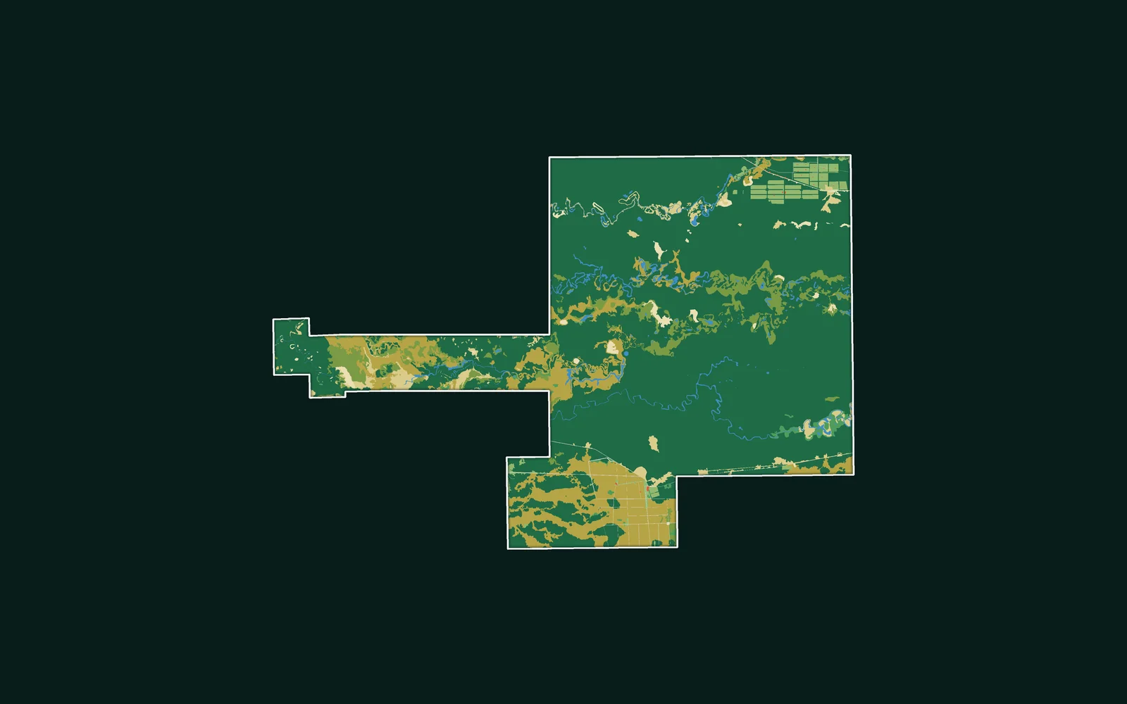
We apply machine learning and deep learning to geospatial data. Using high-resolution satellite imagery, we create training data, train models, and apply them to problems such as object and feature detection and forecasting — turning imagery into automated, scalable analysis.
Beyond imagery, we integrate AI into geospatial workflows so detection, classification and prediction can run as part of your pipelines and platforms rather than as manual, one-off steps.
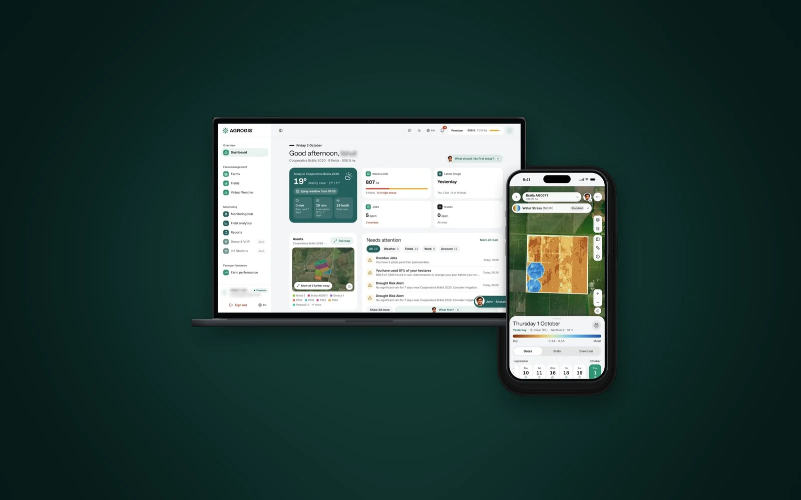
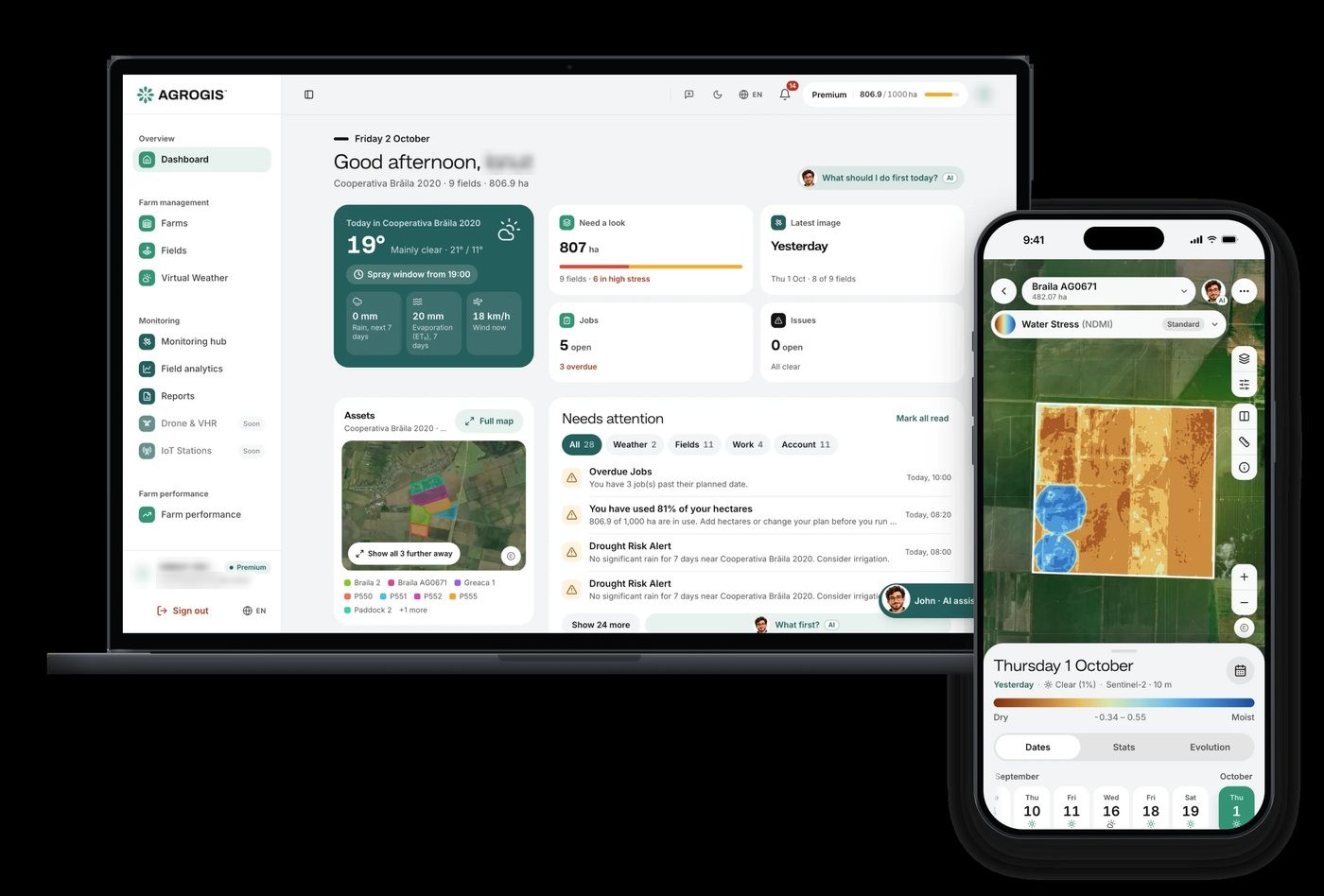
AI also works with your team directly. In AGROGIS, John answers farmers' questions about their fields in plain language. GeoAI agents go one step further: they find the data, run the GIS steps, check the result and report back. Our own Cartolytic Studio, which works this way for maps, is launching soon.
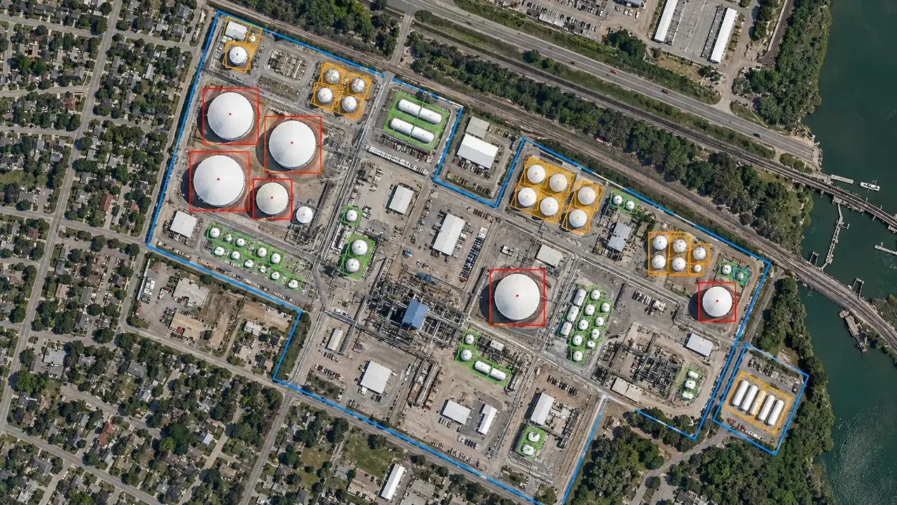
Models that find and classify what is in the imagery, and agents that run the GIS steps for you. They play in turn; pick one.
Texas
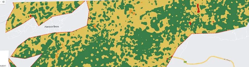
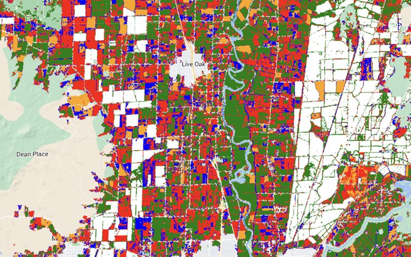
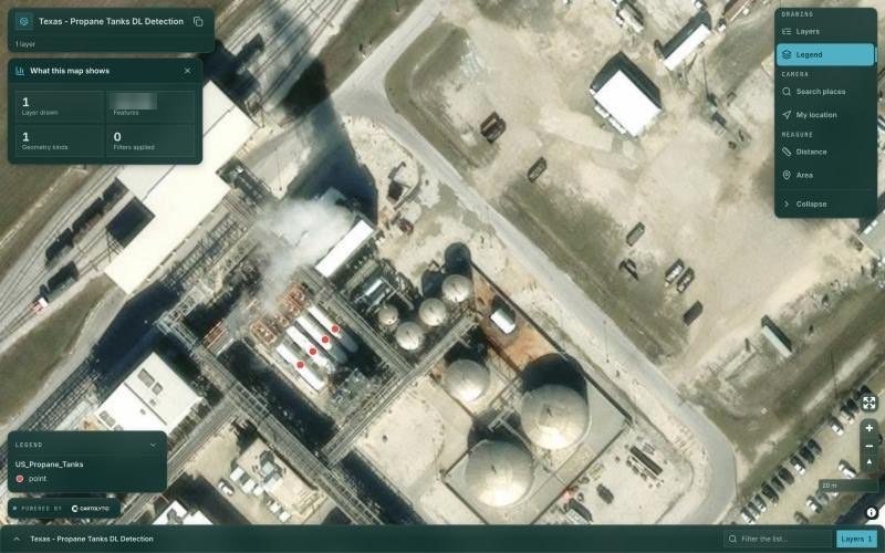
Propane tanks detected with deep learning on aerial imagery, reviewed in our map viewer: a Texas pilot, then the contiguous US.
Texas
Propane tanks detected with deep learning on aerial imagery, reviewed in our map viewer: a Texas pilot, then the contiguous US.
What lands with your team at the end of the work. The bands play in turn; open any one.
Yours to keep
Models trained and tested on your area.
The output
Detections and classes as layers you can open.
Labelled
The labelled data, so models can be retrained.
Running
The model inside your pipeline, not on a laptop.
Plain language
An assistant that answers questions about your data, or an agent that runs the GIS steps and reports back.
What we need from you, what you receive, and what stays yours.
You give us
The area, the decision and the deadline, with your labelled data if you have it.
We deliver
Trained modelsDetections and classificationsTraining datasetsIntegrated workflowsAI assistant or agent
You own it
The data, code and documentation are handed over, so your results never lock you into one vendor.
General kinds of data; which sources we use depends on the place and the question.
Sub-metre images for small objects.
Sentinel and Landsat, for scale and history.
Yours or ours, prepared for training.
Centimetre detail for close detection.
Height to tell buildings and trees apart.
Footprints and labels from public sources.
The industries where this service is part of our work, and what we do in each.
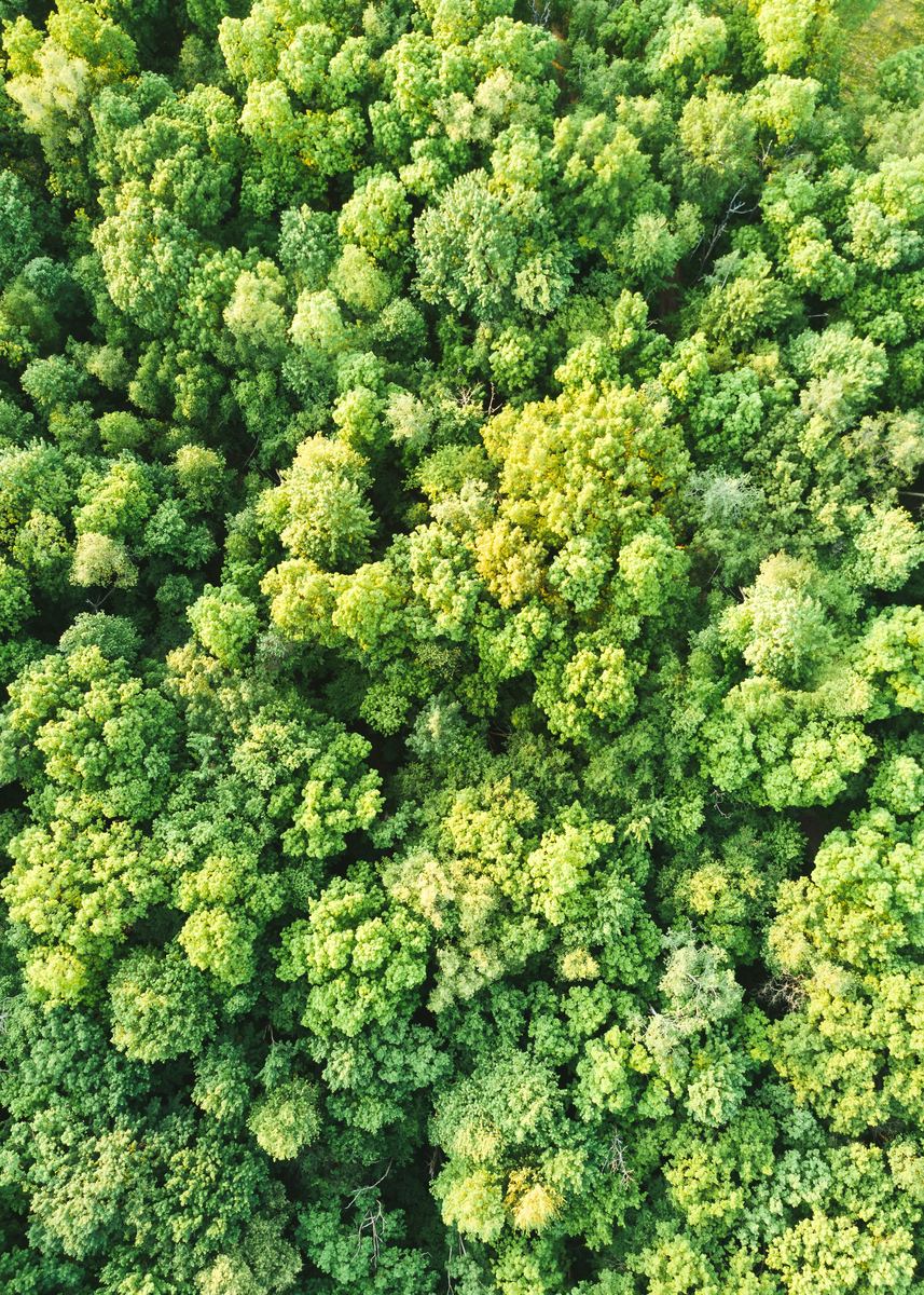 Carbon, Forests & EnvironmentLand-cover classification with machine learning
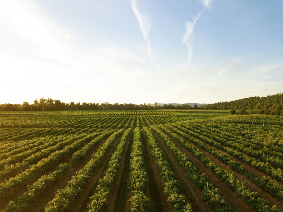 Agriculture & Land ManagementCrop type mappingField boundary delineationAn AI assistant for farmers (AGROGIS)
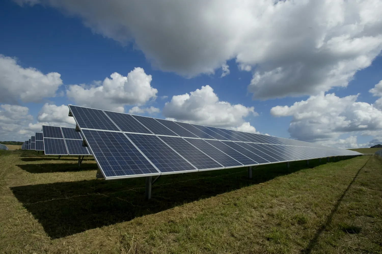 EnergySolar panel and wind turbine detectionBuilding detection for setbacksAsset detection
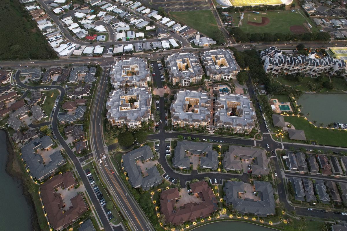 Real Estate & DevelopmentBuilding footprint detection
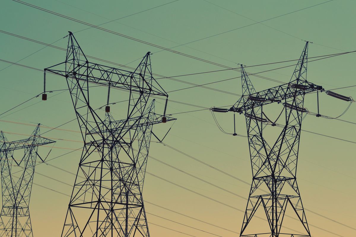 Infrastructure & UtilitiesObject detection from imagery (tanks, buildings)
 Public Sector & Urban PlanningBuilding footprint detection
The types of analysis this service delivers, each on its own page.
All eleven types5 steps, from the first question to the delivered result.
The caption under each map says whether it comes from a project we delivered or is an example analysis.
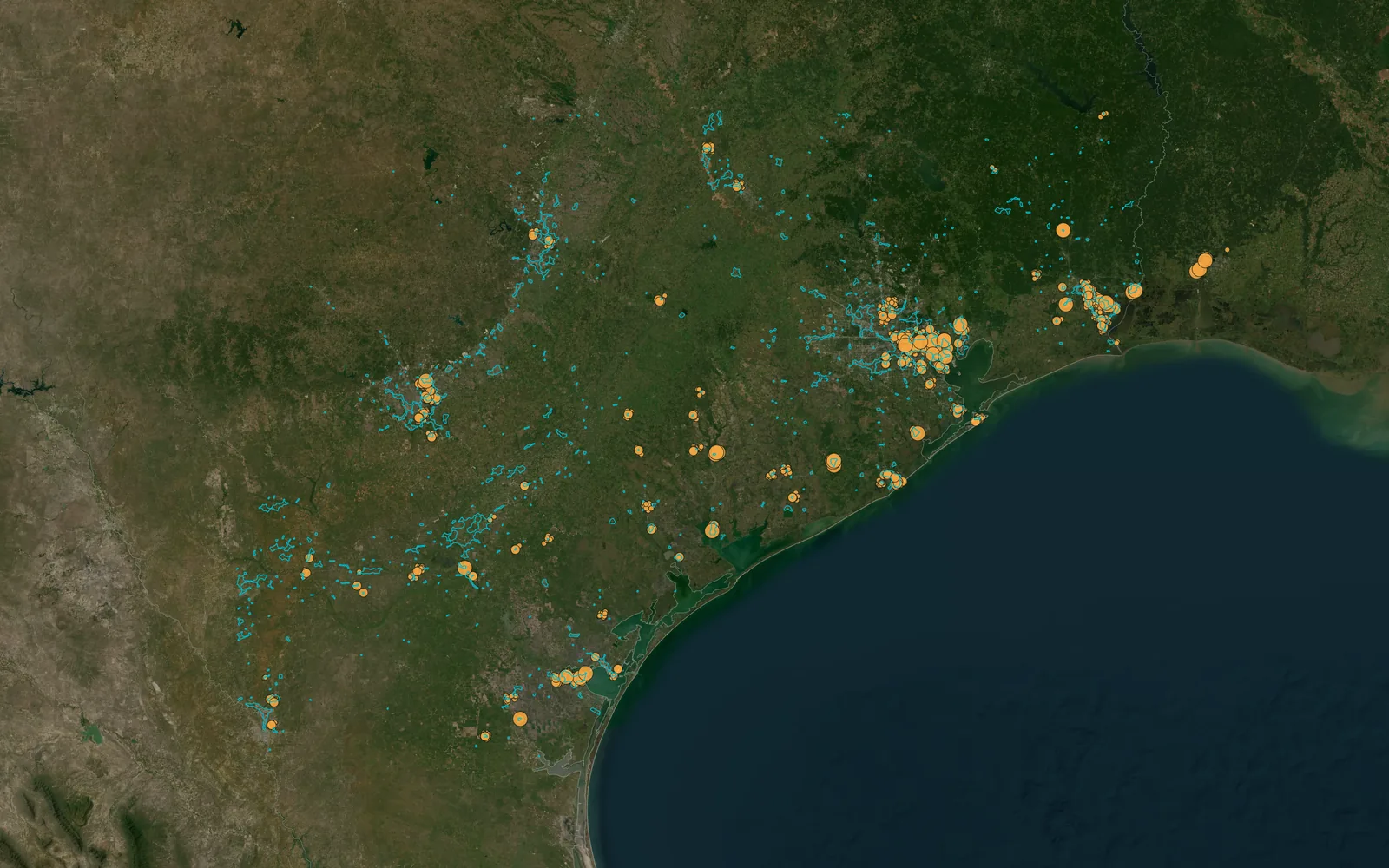
Propane tanks detected from aerial imagery, Texas pilot
Objects and features in high-resolution imagery, trained to your target.
Yes — predictive and forecasting models on spatial and temporal data.
Yes — applied over areas/periods and integrated into pipelines.
Yes — that's a core part of this service.
Yes. We build assistants that answer questions about your spatial data in plain language, as John does in AGROGIS, and agents that run the GIS steps and report back.
Articles from our project work that explain the method.
All articlesTell us the area, the decision and the deadline. We reply within 24 hours, from the person who will deliver the work.
Based in Bucharest, working with clients on five continents.