In the browser
One place for the team
The app your team opens every day.
We design and develop geospatial platforms that put spatial data to work online. Depending on your needs we deliver on SaaS GIS — ArcGIS Online and the ArcGIS Developer platform — or build 100% custom applications backed by PostgreSQL/PostGIS databases.
We work at four levels: interactive web maps and dashboards; geoportals on a spatial database, with accounts and APIs; web and mobile apps fed by automatic remote-sensing and GIS pipelines; and AI inside, from models to assistants and agents.
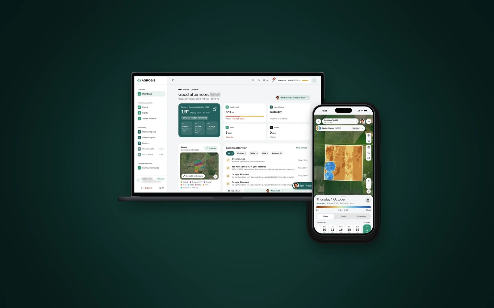
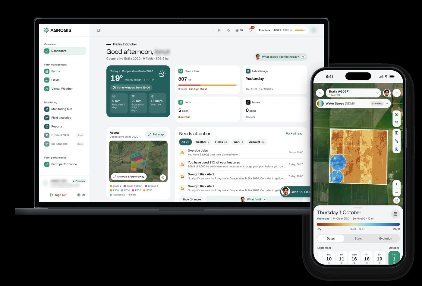
We designed and developed the entire AGROGIS platform for agrogis.ro this way: the web app, the Android and iPhone apps, the satellite processing, and John, an AI assistant for farmers. We have also built web applications for real-estate parcel screening, solar-farm site selection and a telecom geoportal. We run the whole cycle, from product design to development, hosting and support.
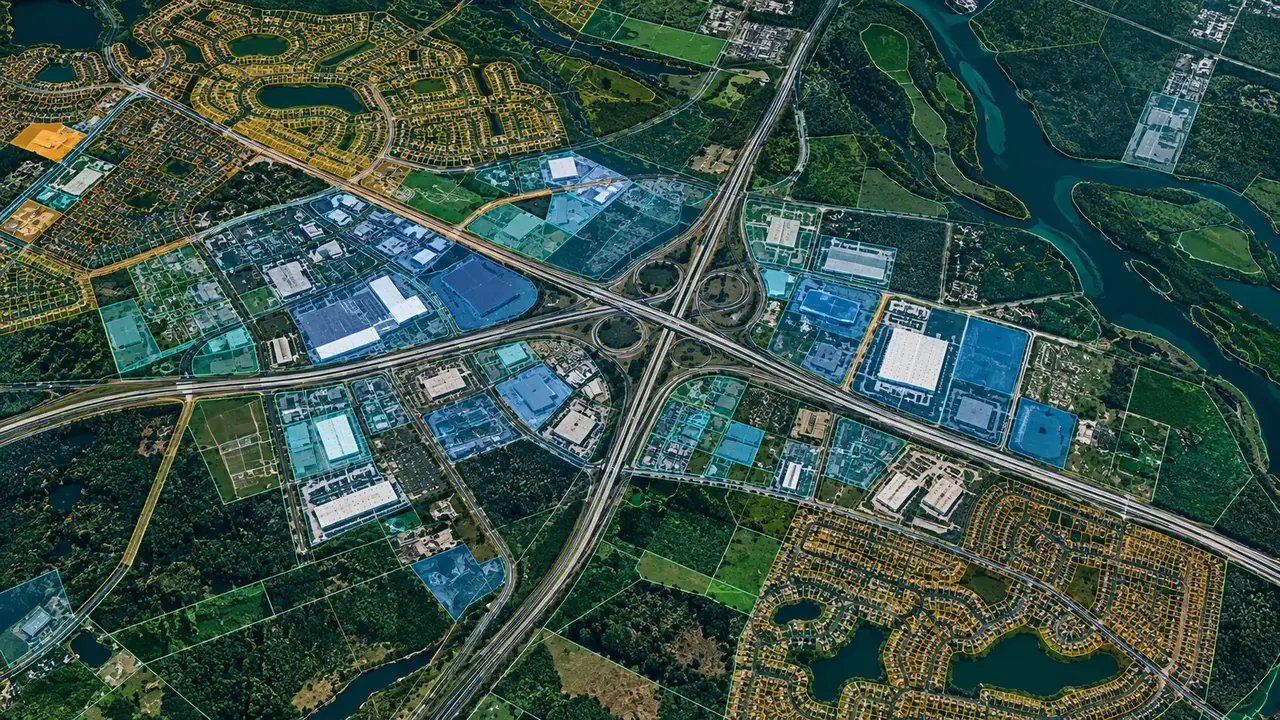
Four levels, from a map in a browser to an app with AI inside. They play in turn; pick one.
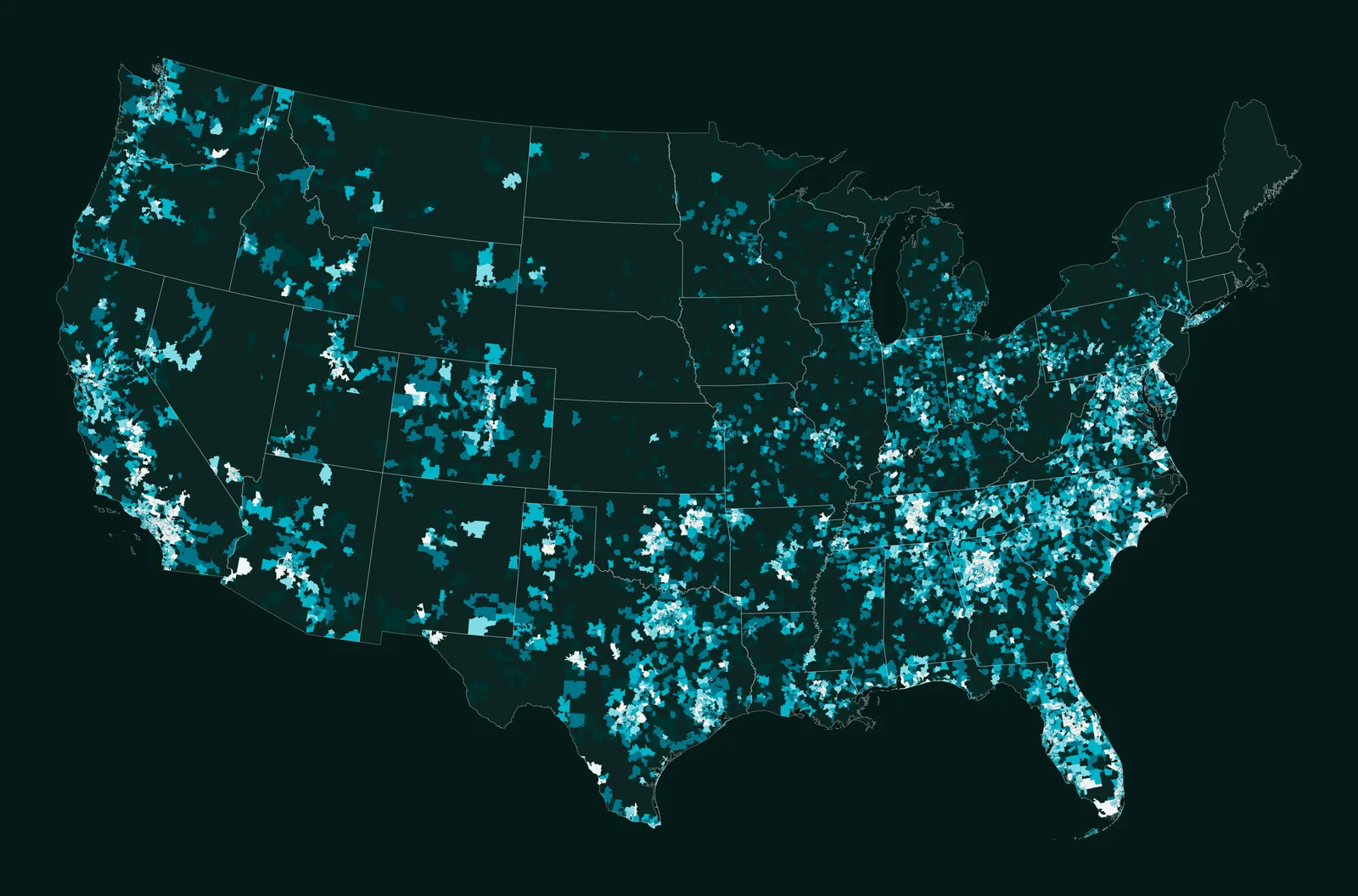
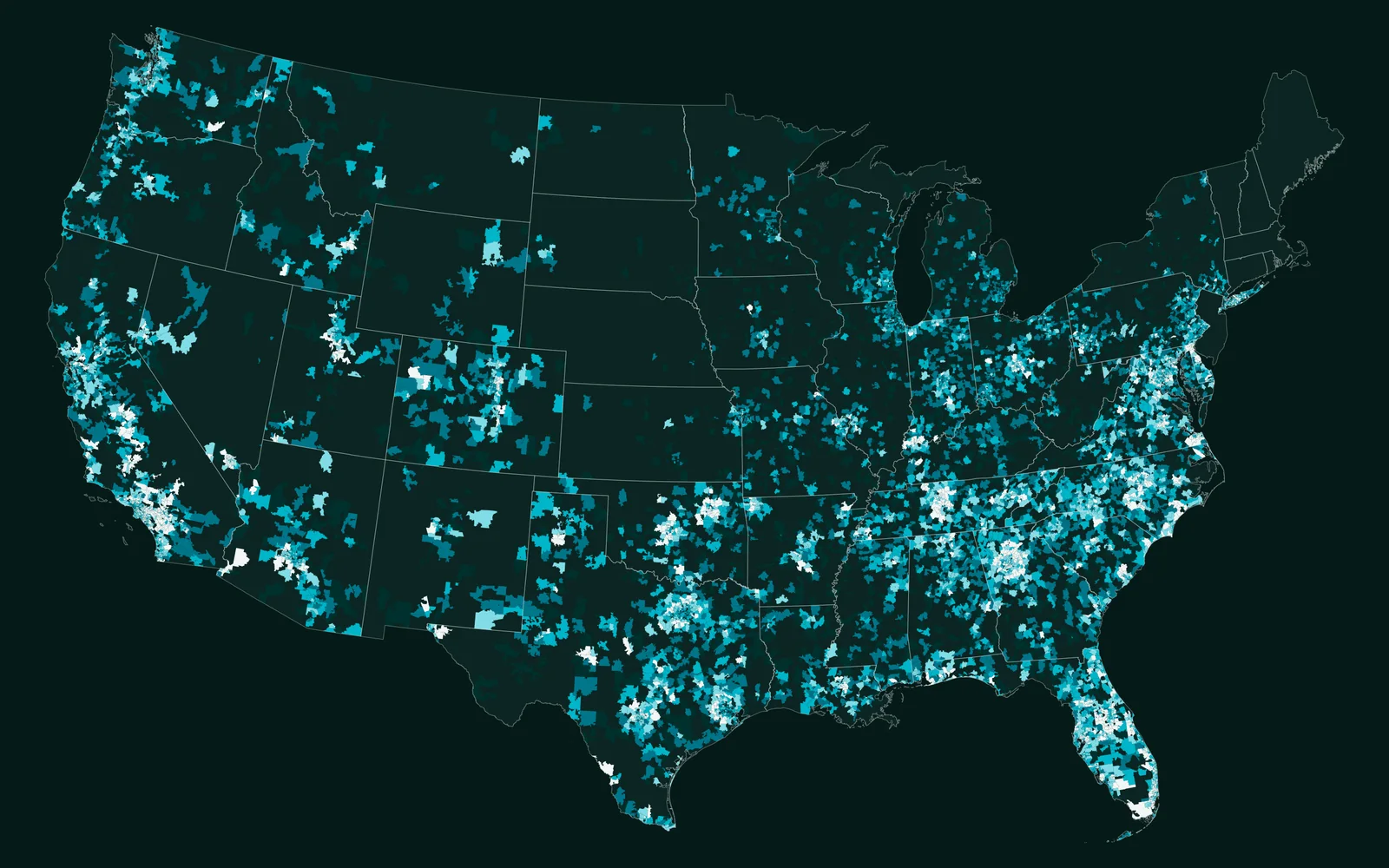
ZIP-code trends
Interactive web maps, dashboards and map stories, embeddable in your own pages.
See the projectZIP-code trends
Interactive web maps, dashboards and map stories, embeddable in your own pages.
See the projectWhat lands with your team at the end of the work. The bands play in turn; open any one.
In the browser
The app your team opens every day.
On the phone
The same data on site, on the phone.
PostGIS
Every layer in one database, ready for every app.
Ask in plain language
An assistant that knows your fields, sites or assets.
For you
Users, data and settings, managed without us.
Yours to keep
The code, the docs and the training to run it.
What we need from you, what you receive, and what stays yours.
You give us
The area, the decision and the deadline, with your own records and spreadsheets.
We deliver
Web applicationMobile appsSpatial database and APIsAI assistant or agentAdmin dashboardDocumentation and handover
Built with
ArcGIS Online, or 100% custom apps on PostgreSQL/PostGIS.
You own it
The data, code and documentation are handed over, so your results never lock you into one vendor.
General kinds of data; which sources we use depends on the place and the question.
Sentinel and commercial imagery, inside the app.
Spreadsheets, forms and the systems you already use.
Fast maps from millions of features.
REST, WMS and WMTS services.
Sensors and data that change by the minute.
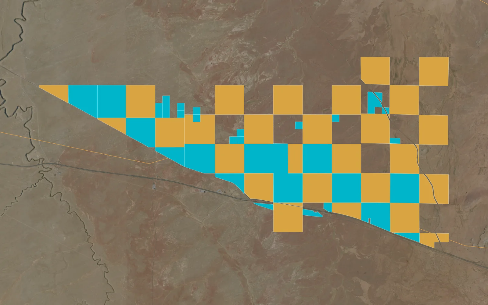
Parcel boundaries and land records.
The industries where this service is part of our work, and what we do in each.
 Carbon, Forests & EnvironmentStory maps for climate and science
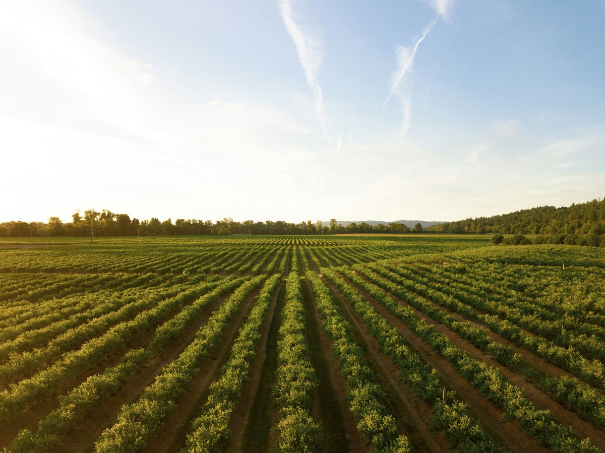 Agriculture & Land ManagementA farm platform with satellite maps per parcel and an AI assistant (AGROGIS)
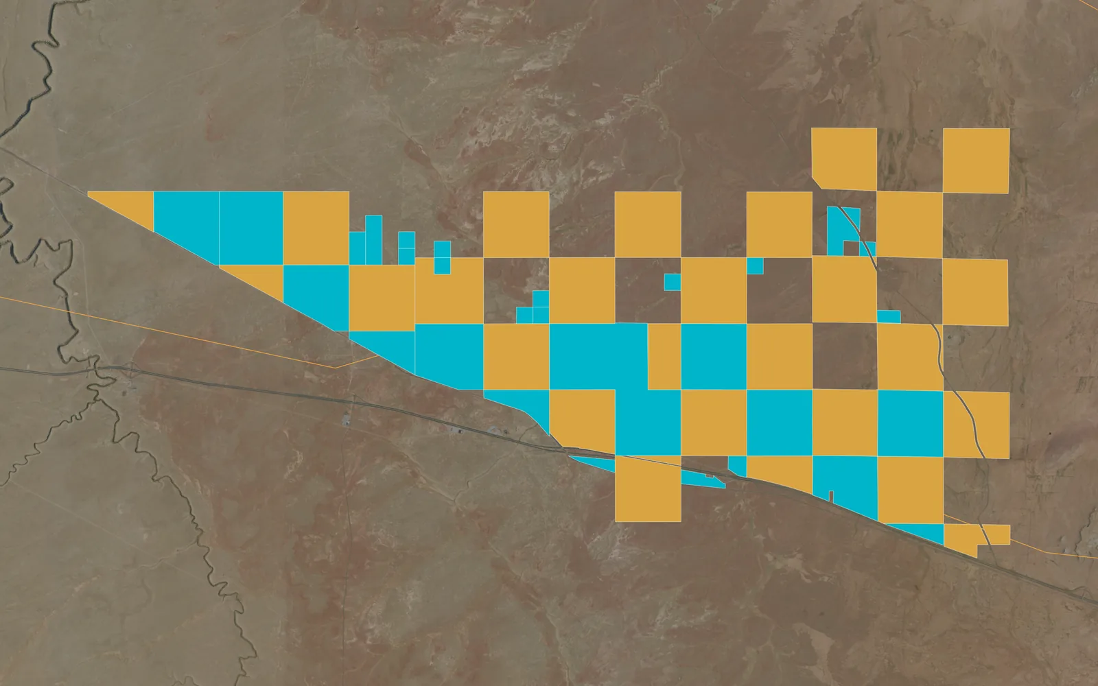
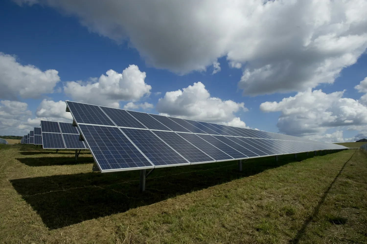 EnergyScreening and portfolio web mapsAsset and network geoportalsApps for site and field teams
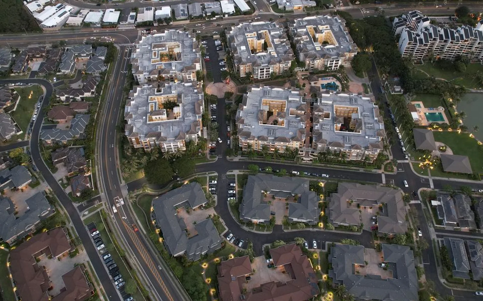
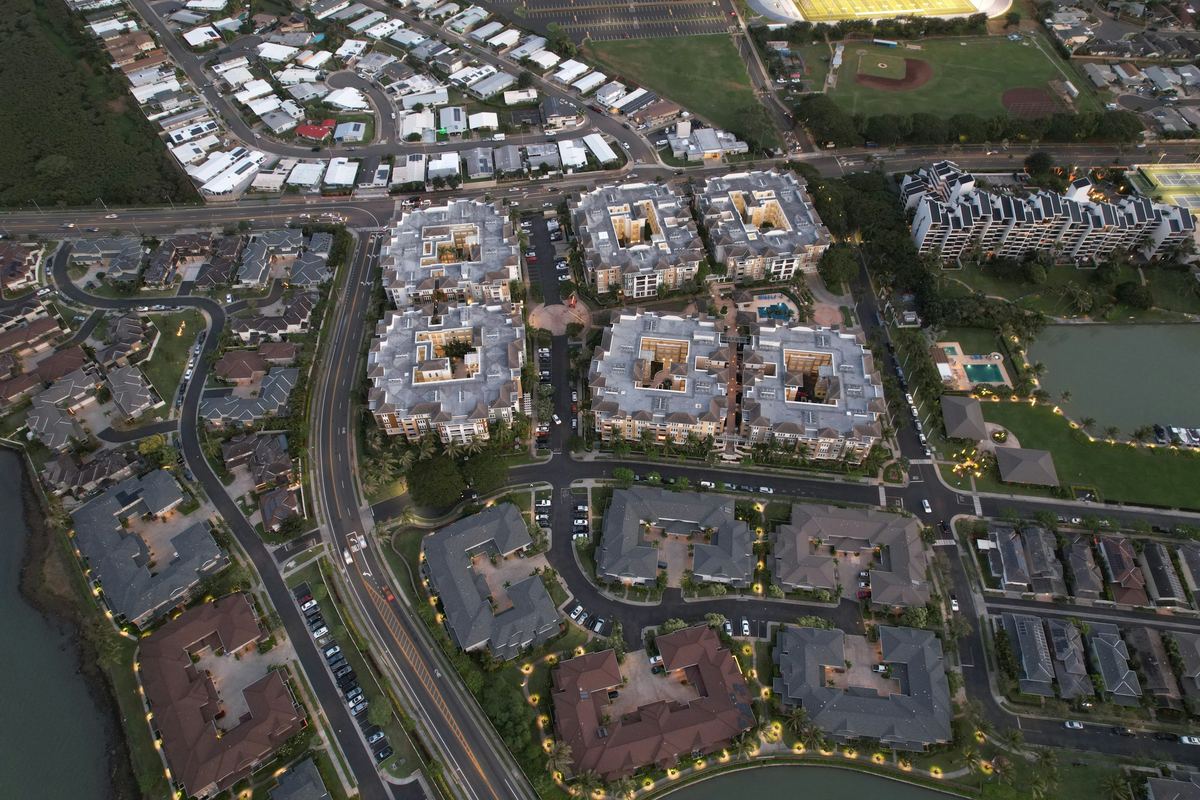 Real Estate & DevelopmentDue-diligence apps for property teamsLarge web maps of the property market
 Retail & Market Intelligence3D web maps and dashboards of market data
 Infrastructure & UtilitiesGeoportals for network projectsField apps for asset teams
 Public Sector & Urban PlanningOpen-data map portals
The types of analysis this service delivers, each on its own page.
All eleven types5 steps, from the first question to the delivered result.
The caption under each map says whether it comes from a project we delivered or is an example analysis.
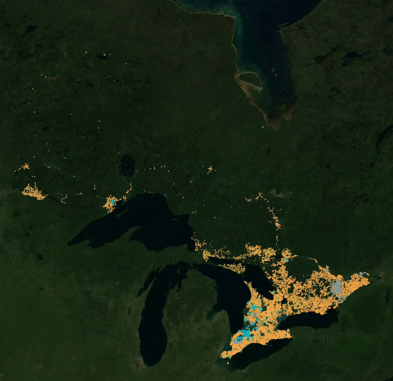
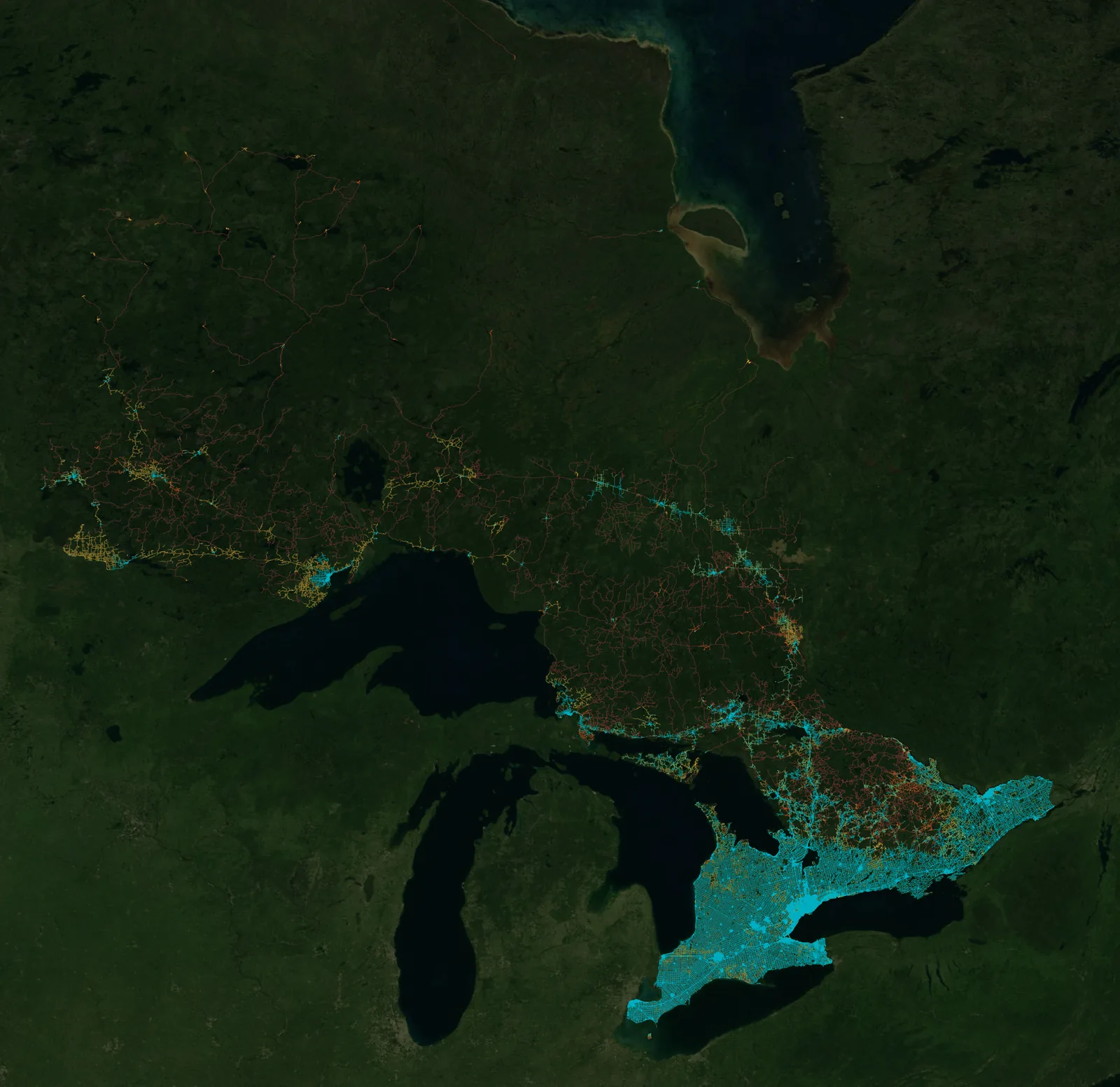
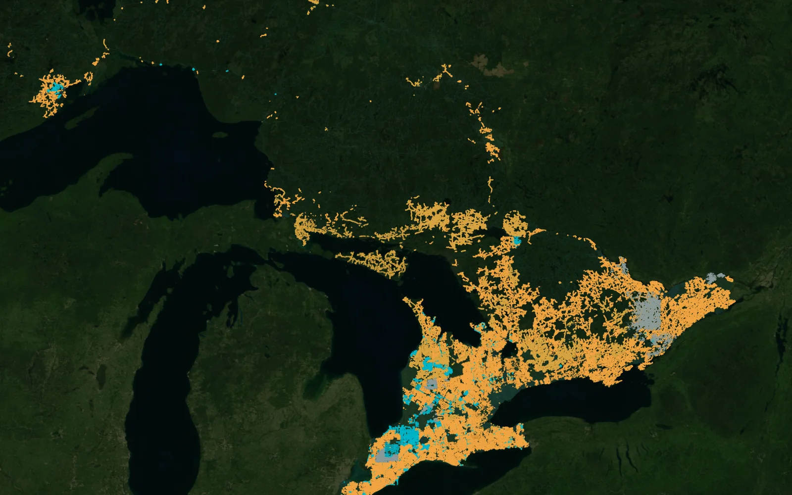
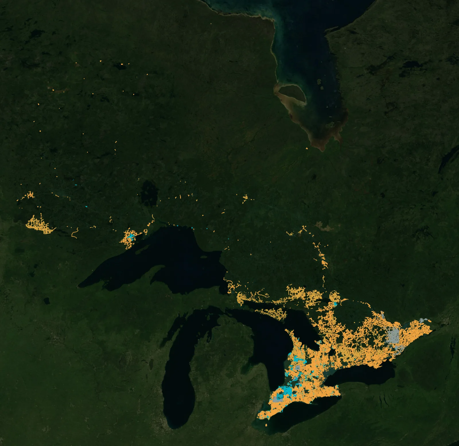
Ontario: provincial internet projects and internet speed by road
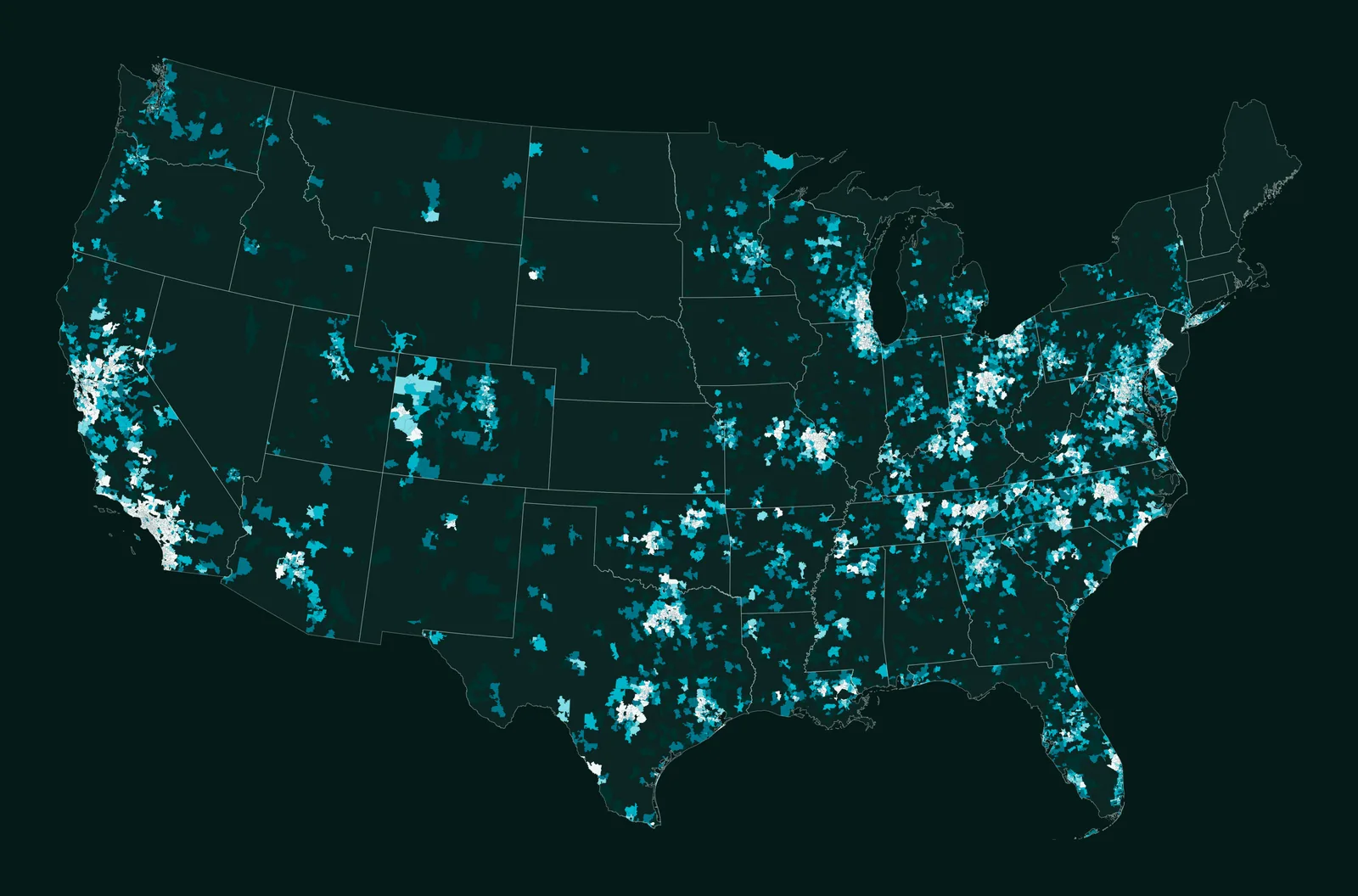
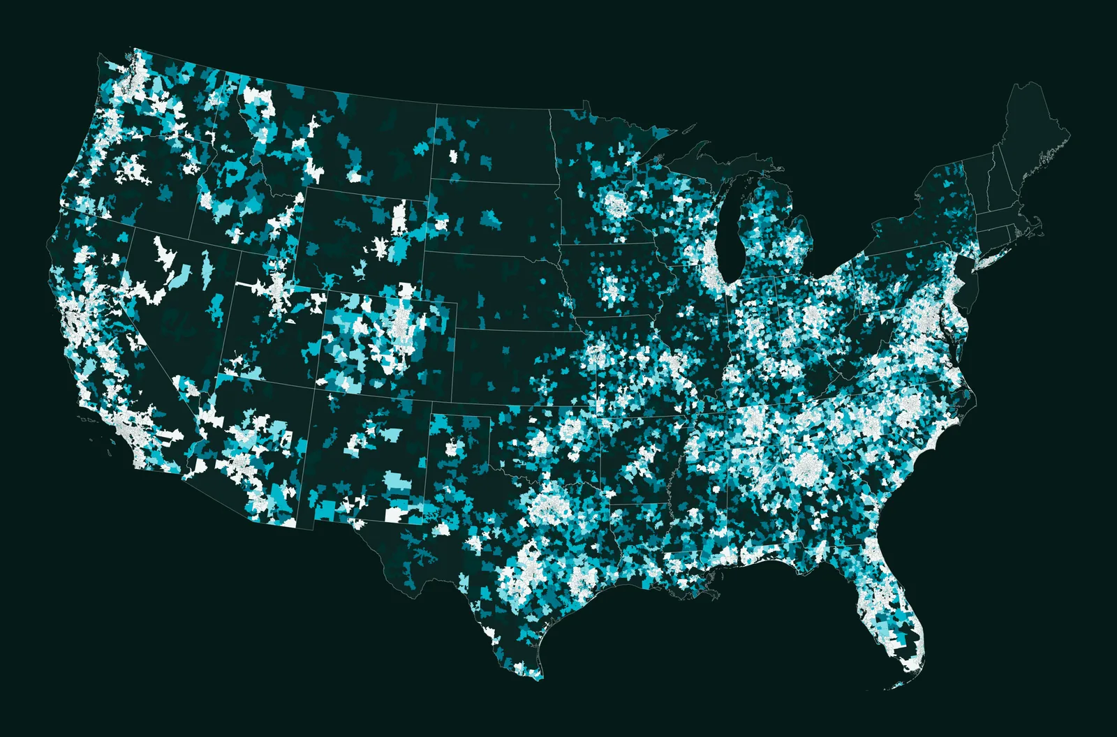
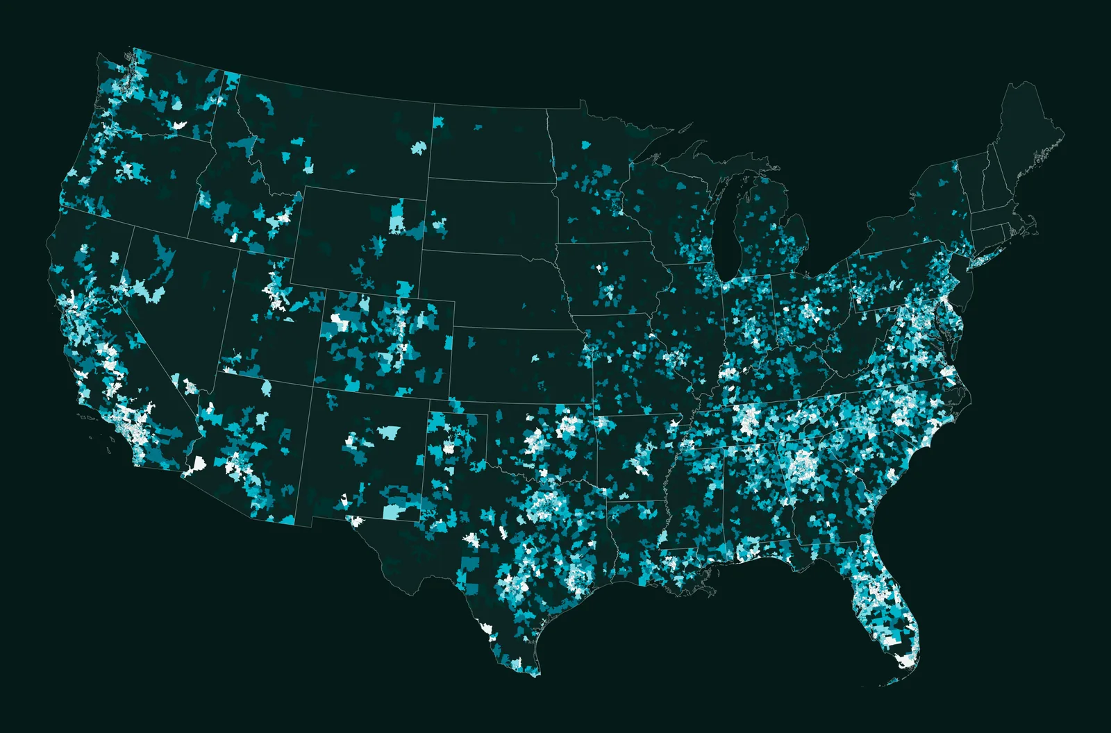
Transactions by ZIP code, contiguous United States: 2012, 2020 and 2024
Transactions in the year
Both — ArcGIS Online/Developer when it fits, or 100% custom apps on PostgreSQL/PostGIS.
Yes — secure, branded portals for sharing data and tools.
Yes — web and field data-collection apps feeding your database.
Yes — we connect your sources and set up update pipelines.
Yes — deployment and ongoing support are part of what we offer.
Yes. We build assistants that answer questions in plain language about the data in the app, as John does for fields in AGROGIS.
Yes. AGROGIS runs on the web, Android and iPhone from the same platform.
Articles from our project work that explain the method.
All articlesTell us the area, the decision and the deadline. We reply within 24 hours, from the person who will deliver the work.
Based in Bucharest, working with clients on five continents.