Home/Solutions/Detection and mapping from imagery (GeoAI)

Detection and mapping from imagery (GeoAI)

Where is every object, across a whole region?

Object detection in satellite imagery finds buildings, tanks, trees or panels across an area too large to check by eye, and turns them into an inventory on a map. We prepare the training data, train deep-learning models on your objects, run them over the imagery and review the results, so the inventory you receive has been checked.

The question

Some questions are simple to ask and slow to answer: how many storage tanks stand in a state, how many trees grow in an orchard, which roofs carry solar panels. A person can answer them for one town; a trained model can answer them for a country, the same way every time.

GeoAI is the name for this kind of work: machine learning applied to geospatial data. Detection is its most visible use, next to land-cover classification and change detection, and it works on satellite, aerial and drone imagery alike.

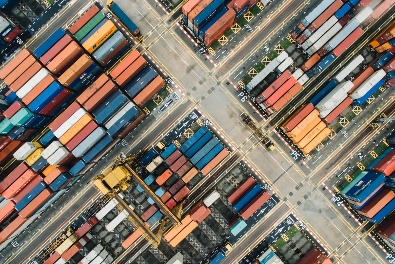
Rows of shipping containers in a port yard, seen from above

From inputs to result.

Inputs

Imagery

The objects set the resolution: tanks and panels need very-high-resolution satellite or aerial imagery, and single trees need around 15 cm. We collect examples of each object, draw them as labels and keep some apart to test the model later.
Analysis

Detection

A deep-learning model, for object detection or segmentation, learns the objects from the labels and then scans the whole area tile by tile. Each detection comes with its outline or point, its class and a confidence score.

Result

Inventory

Detections are cleaned, merged across tiles and reviewed in a map viewer, where doubtful ones are confirmed or removed. The result is one layer with every object, ready to count, filter and join to your records.

What you receive.

01

Object inventory

One point or outline per object, with its class and confidence.

02

Reviewed results

Detections checked in a map viewer before delivery.

03

Trained model

The model and its settings, to run on new imagery.

04

Training dataset

The labelled examples the model learned from.

05

Accuracy report

How the model performed on test areas it never saw.

Limits

A model finds only what the imagery shows: objects under trees, roofs or shadow are missed, and accuracy drops on imagery unlike the training data, so results are reviewed, not taken on trust.

Related projects.

Questions about this analysis.

01How does object detection in satellite imagery work?

A deep-learning model is trained on examples of the object drawn on imagery. It then scans new imagery, marks each object it recognises and gives each a confidence score. The detections are reviewed and become a layer you can count and map.

02How many examples does a model need?

It depends on how distinct the object is and how varied the landscape. A clear object on similar imagery needs fewer; a small or variable one needs more. We start with a pilot area, measure the results and add examples where the model fails.

03Can you count the trees in an orchard?

Yes. Each tree found becomes a point on the map and each gap is located on its row, with the count per row. We did it for a hazelnut orchard in Romania from 15 cm satellite imagery. The imagery cannot tell a live tree from a dead one, so those positions are flagged for a check.

04Can you detect buildings?

Yes. A segmentation model outlines each roof on very-high-resolution imagery, and the outlines become a building layer for planning, flood exposure or market studies.

05Will the model work in another region?

Often, but not blindly. New imagery, seasons or building styles change what the model sees. We test it on a sample of the new area first and add local examples if the results drop.

Ready to put your geospatial data to work?

Tell us the area, the decision and the deadline. We reply within 24 hours, from the person who will deliver the work.

Based in Bucharest, working with clients on five continents.