Home/Solutions/Route and corridor planning

Route and corridor planning

What is the cheapest, least-⁠impact route?

Utility corridor routing with GIS finds the route a pipeline, cable or road should take across a landscape: the one that costs least to build and disturbs least on the way. We turn terrain, land cover, protected areas and existing networks into a cost surface, trace the least-cost path across it and widen it into corridors you can compare.

The question

A straight line between two points crosses whatever lies in the way: a steep valley, a forest, a protected site, private land, a river. Each adds cost, risk or permits. Route planning weighs them all at once, so the first line on the map already avoids the worst of them.

It is the first step of a route study, before the field survey. It narrows a wide area to a few corridors worth surveying, with the reasons each one was kept or dropped.

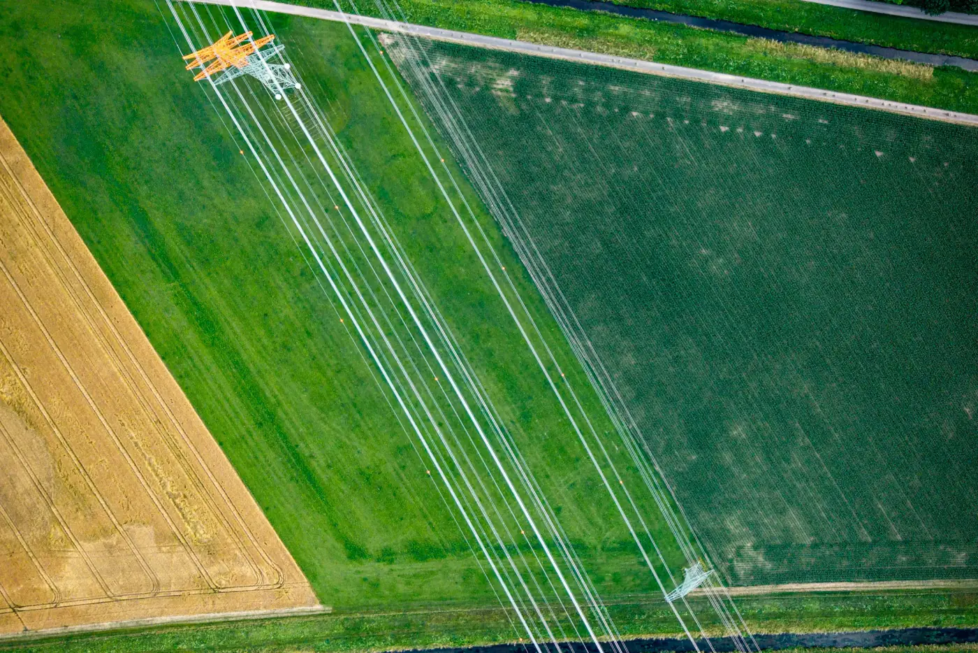
Power lines crossing green and golden fields, seen from above

From inputs to result.

Inputs

Cost surface

Every factor becomes a layer with a cost per cell: slope from an elevation model, land cover from satellite imagery, river and road crossings, distance from homes. Protected areas and other no-go land are blocked outright, and the weights are agreed with your engineers.

Analysis

Least-⁠cost path

The model accumulates cost outward from the start point and traces the path that reaches the end with the lowest total. Changing the weights gives alternative routes, so you see which choices move the line and which do not.

Result

Corridor

Around the lowest-cost paths we draw corridors: bands of land within a set margin of the minimum cost. They are ranked by length, total cost and what they cross, ready for the survey team.

What you receive.

01

Cost surface

The combined layer, with each factor and weight documented.

02

Route options

The least-cost path and its alternatives, with length and total cost.

03

Corridor map

Ranked corridors and the land each one crosses.

04

Crossing list

Every road, river and protected boundary on each route, as a table.

05

Route web map

Routes and corridors online for the engineers and the permitting team.

Limits

A least-cost route is only as good as the costs put into it; it narrows the search for the field survey and the design, and does not replace them.

Questions about this analysis.

01What is utility corridor routing in GIS?

A least-cost path analysis. Each part of the landscape gets a cost for building through it, and the model finds the route with the lowest total between two points. Corridors around that route leave room for the final design.

02Which factors go into the cost?

Typically slope, land cover, river and road crossings, distance from homes, protected areas and land you cannot use. The list and the weights come from your engineers and permitting team; we turn them into layers and document every choice.

03Can the route avoid protected areas completely?

Yes. Land you cannot cross is set as a barrier, so no route passes through it. Land you would rather avoid gets a high cost instead, and the model crosses it only when every way around costs more.

04How many alternatives do we get?

As many as the decision needs. We compare the least-cost route with routes that weight cost, environment and length differently, and show where they agree. Where all options share a stretch, that stretch is a safe place to start the survey.

05Do we still need a field survey?

Yes. The analysis picks the corridors worth surveying; ground conditions, ownership and design details are then checked on site, and a drone or LiDAR survey can map the chosen corridor in detail.


Ready to put your geospatial data to work?

Tell us the area, the decision and the deadline. We reply within 24 hours, from the person who will deliver the work.

Based in Bucharest, working with clients on five continents.