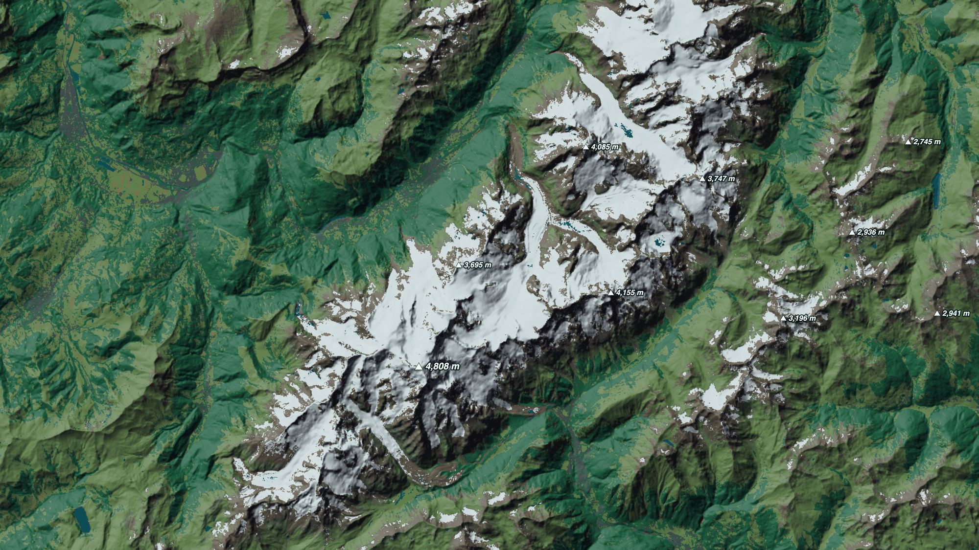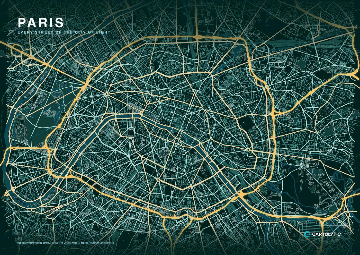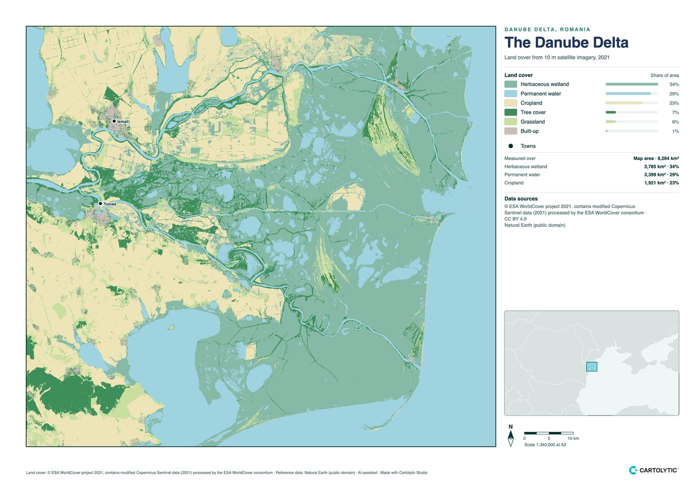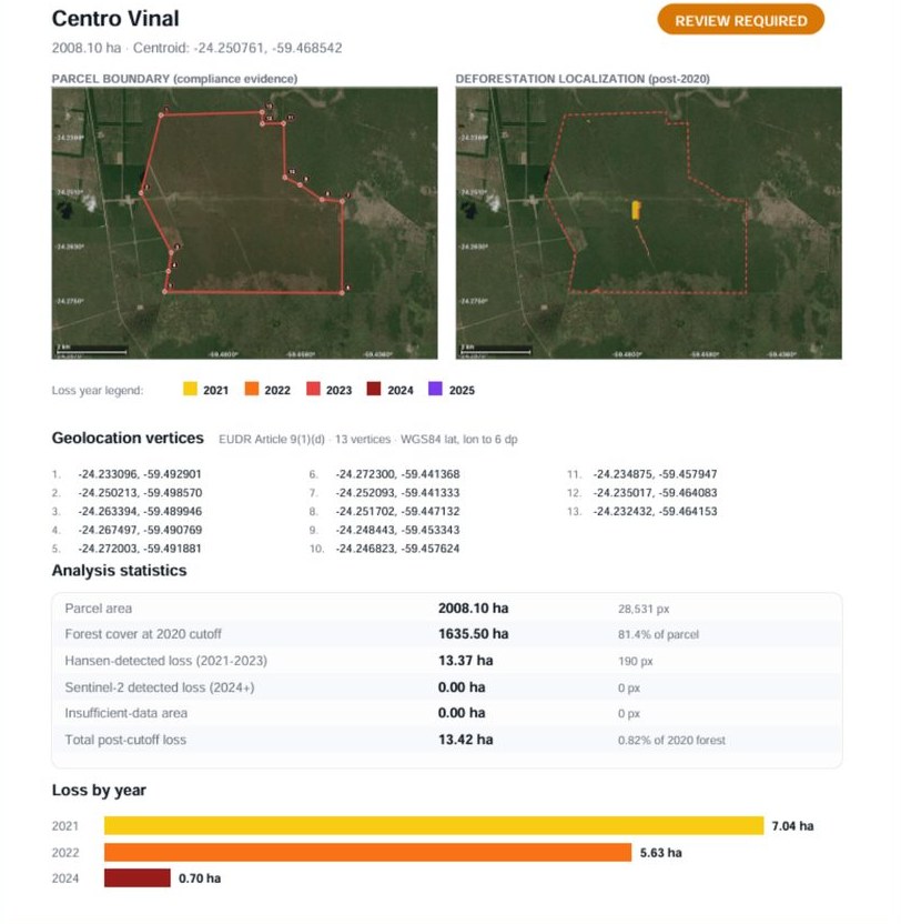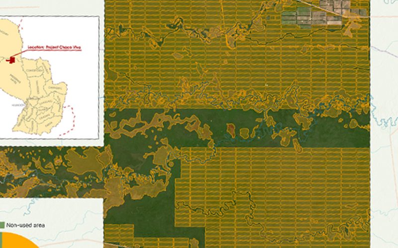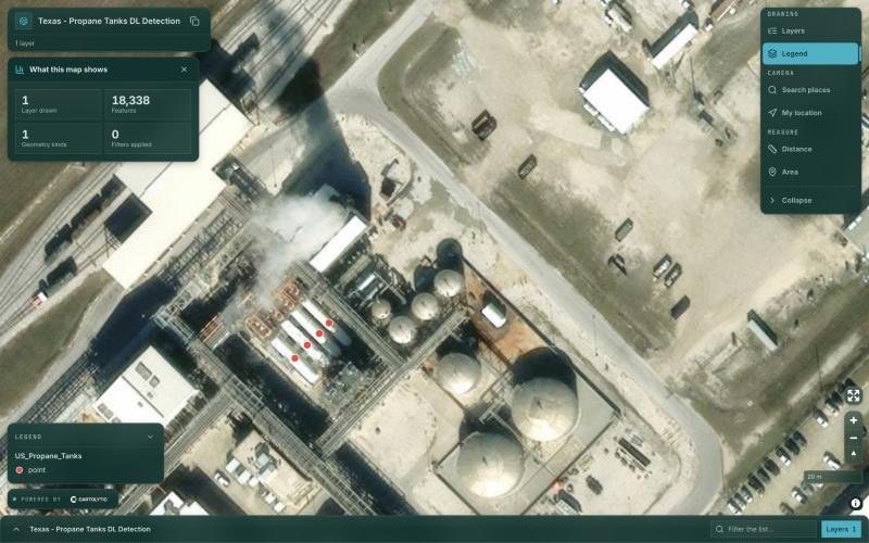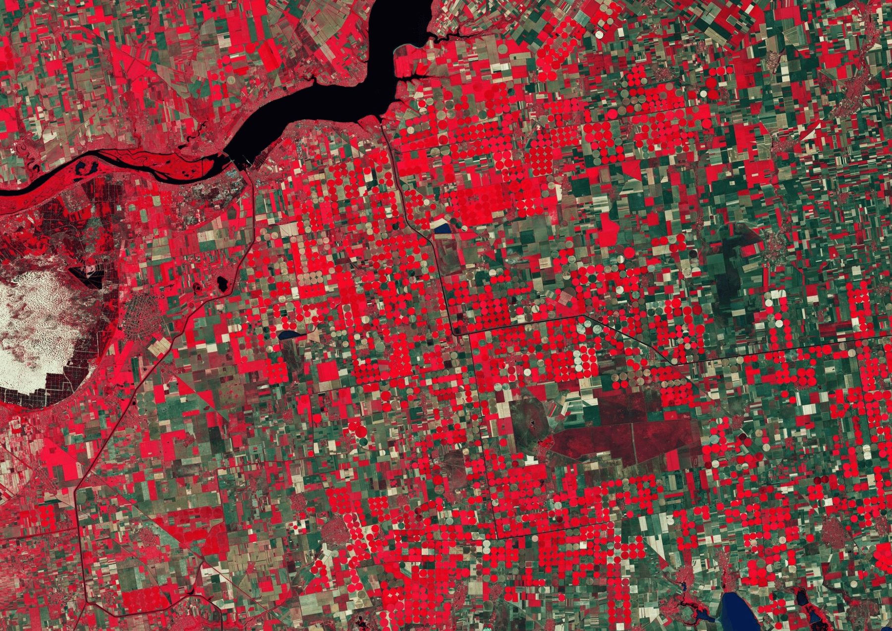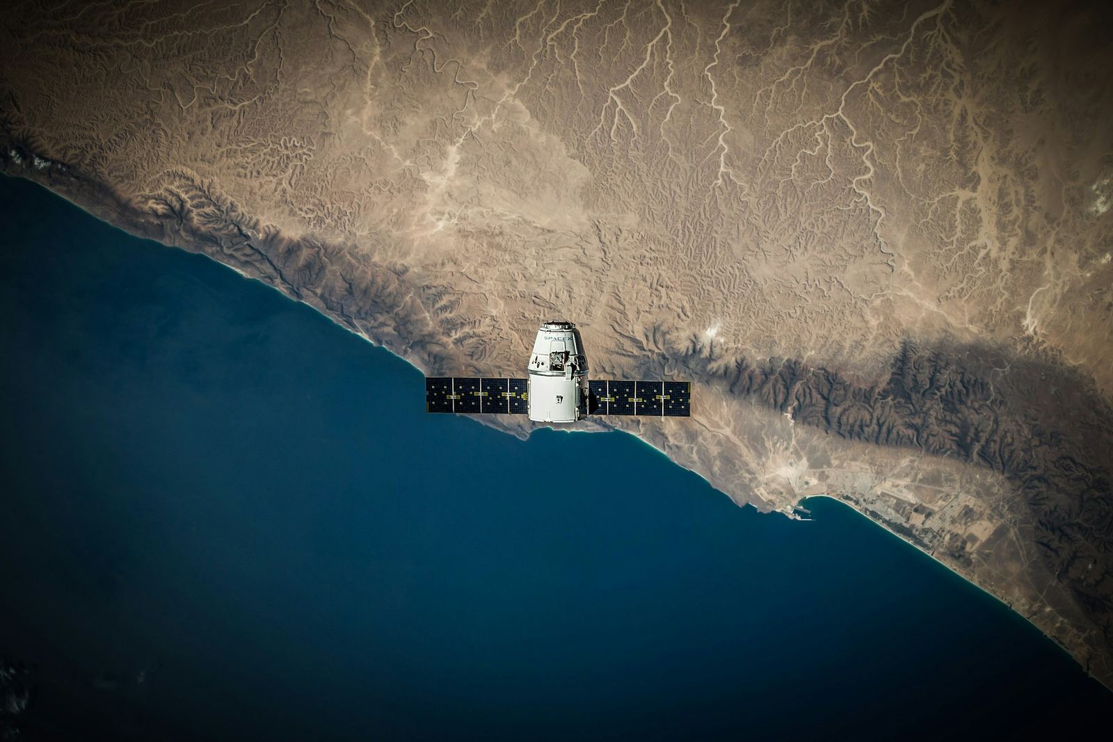
Step 01 · Raw satellite imagery
Data collection
Satellite imagery, GIS layers and field data.
GIS · Remote sensing · Web GIS · AI
We turn satellite imagery and spatial data into high-precision intelligence, from raw pixels to production-ready web maps.
Clients around the worldCarbon developers, conservation groups, real-estate, retail and infrastructure teams.



















One team handles the full pipeline, from the first satellite image to the decision your team makes.
More about us Step 01 · Raw satellite imagery
Satellite imagery, GIS layers and field data.
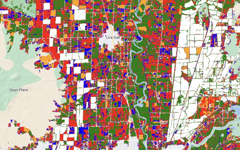
Step 02 · Classification and analysis
Classification, change detection and models.
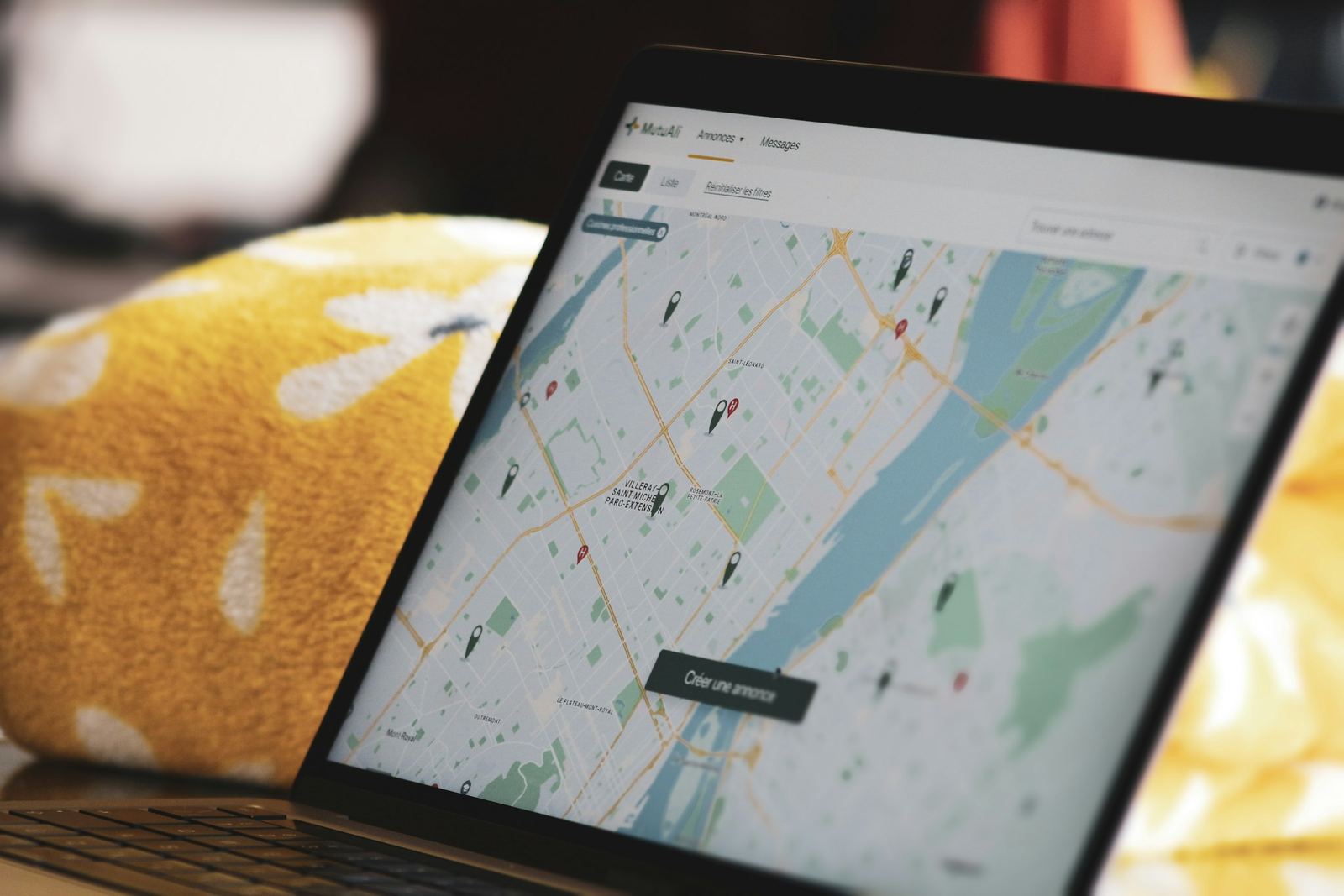
Step 03 · Web maps and dashboards
Web maps, dashboards and apps your team uses.

Step 04 · Maps and reports to act on
Monitoring, reports and alerts to act on.
From data collection to operational delivery.
All services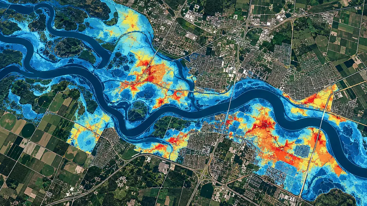
Site analysis, zoning studies, competitive mapping and strategic spatial planning.
Explore the service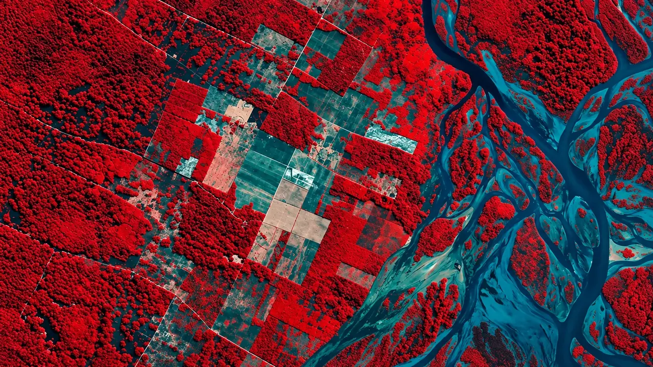
Satellite image analysis, change detection, land-cover classification and environmental monitoring.
Explore the service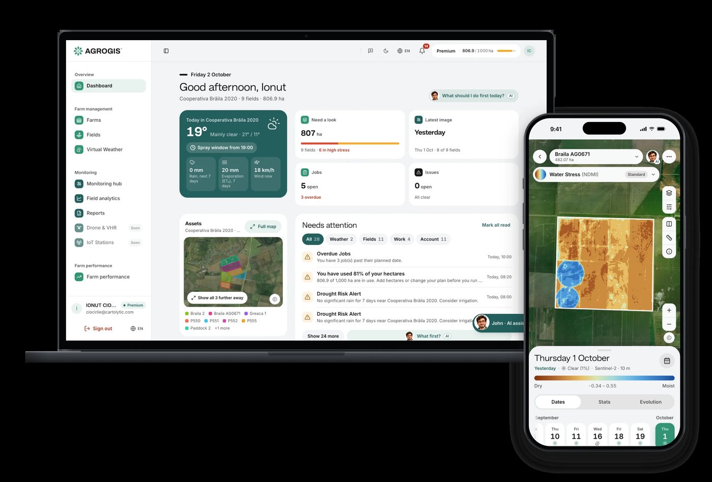
Web and mobile apps on geospatial technology, with AI built in.
Explore the service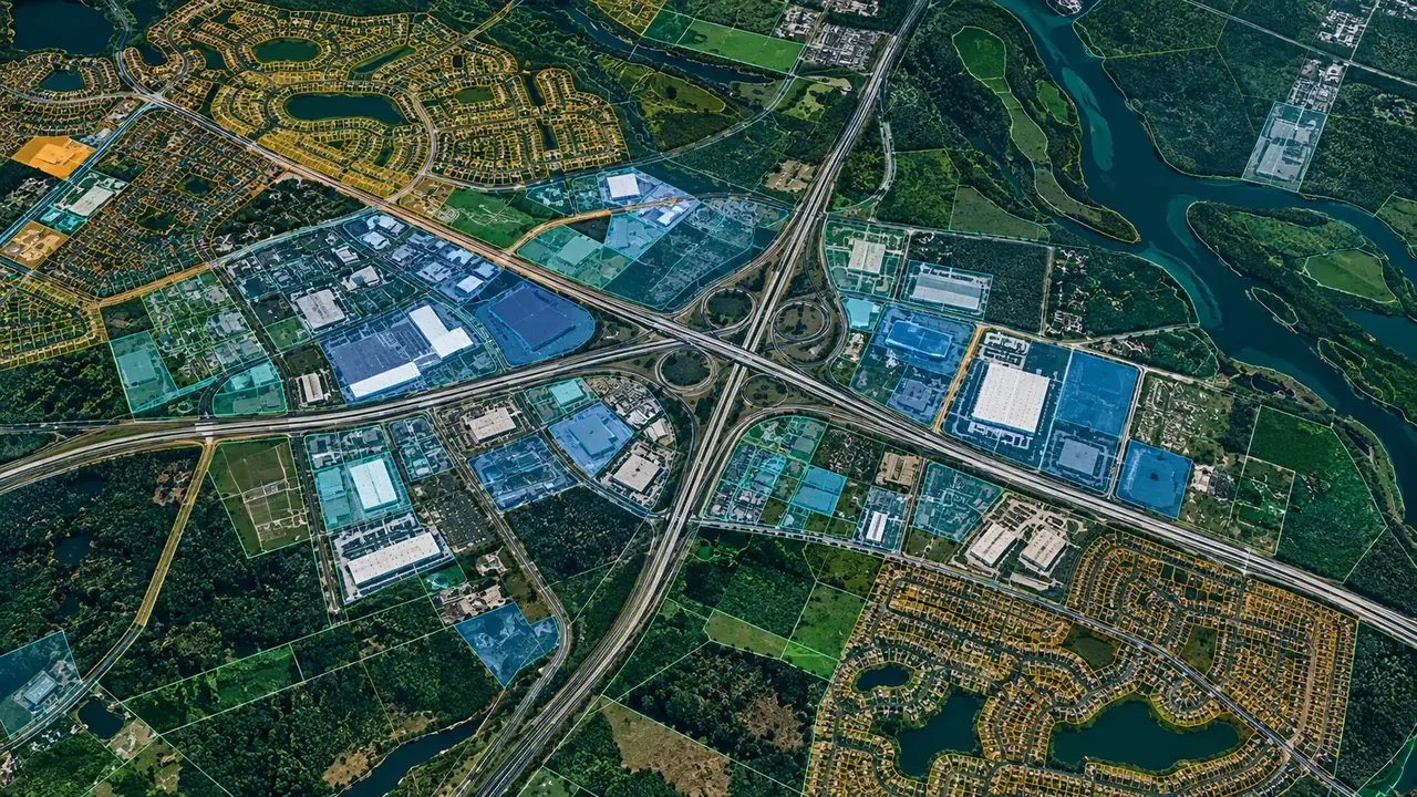
Interactive maps, geospatial dashboards and real-time visualisation platforms.
Explore the service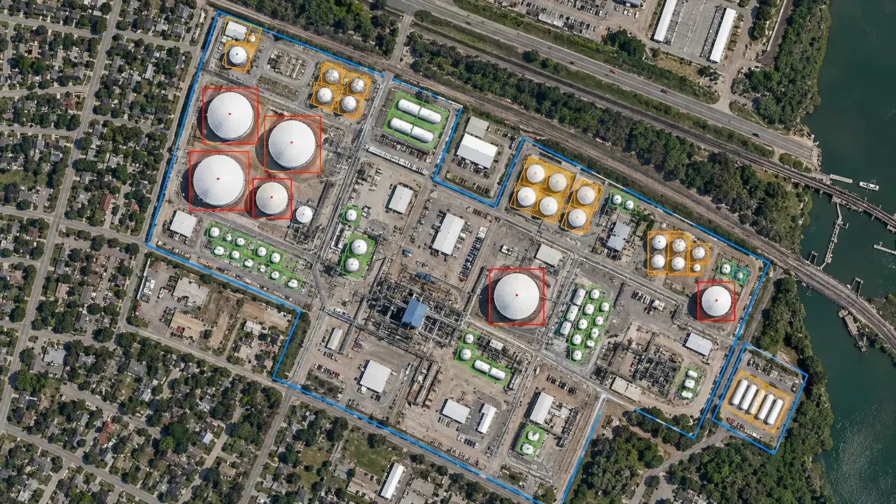
Detection, classification and forecasting on imagery.
Explore the service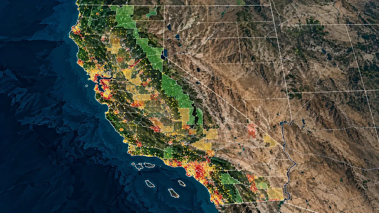
Location analysis, demographic profiling, trade-area analysis and competitive mapping.
Explore the service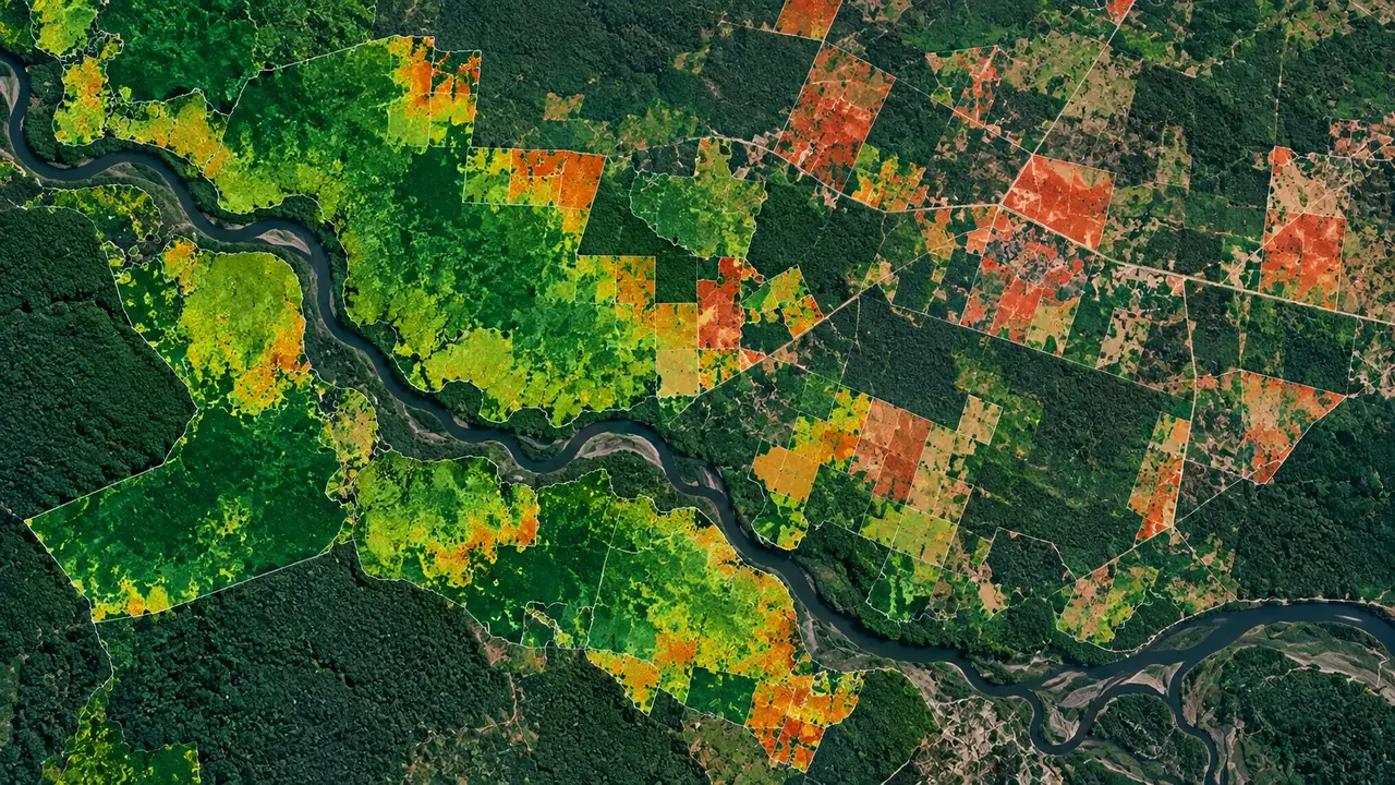
REDD+ and ARR baselines, biomass, carbon stock and MRV.
Explore the service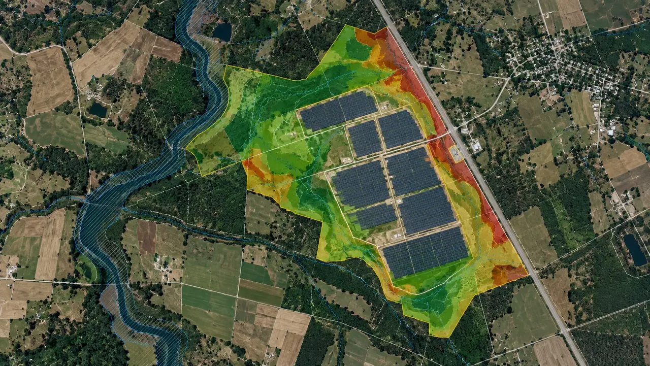
Solar, wind, geothermal and transmission land screening and site suitability.
Explore the service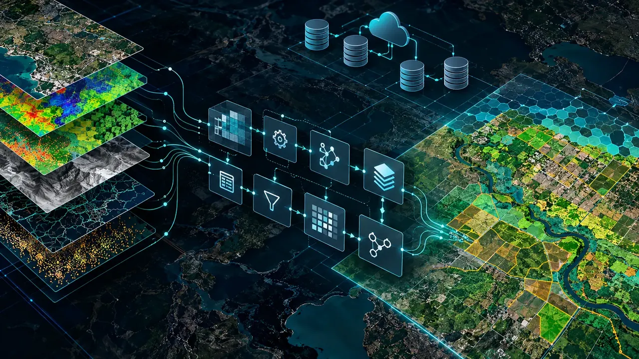
Geospatial pipelines, ETL automation, data quality control and cloud infrastructure.
Explore the service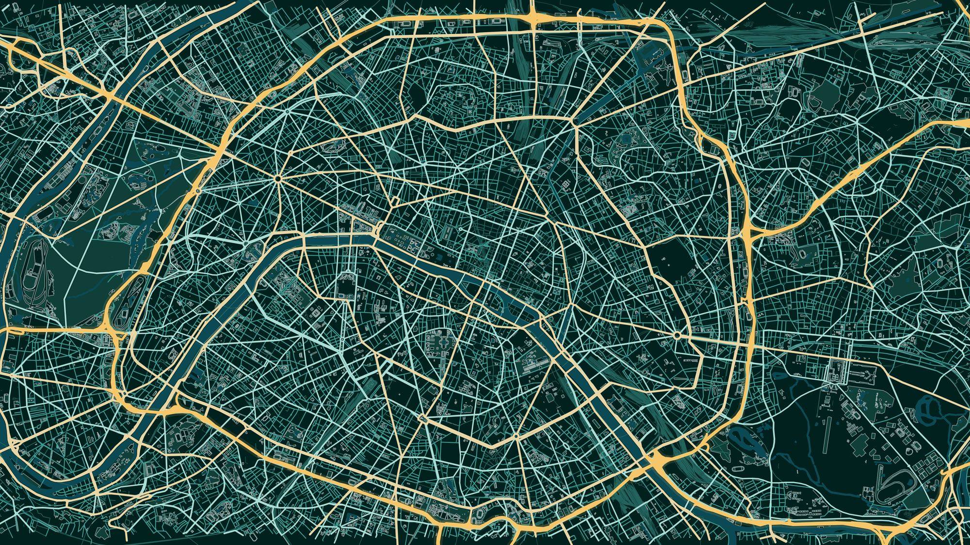
Thematic maps, custom cartographic products, atlases and visual map design.
Explore the serviceGeospatial work shaped by the challenges of each sector.
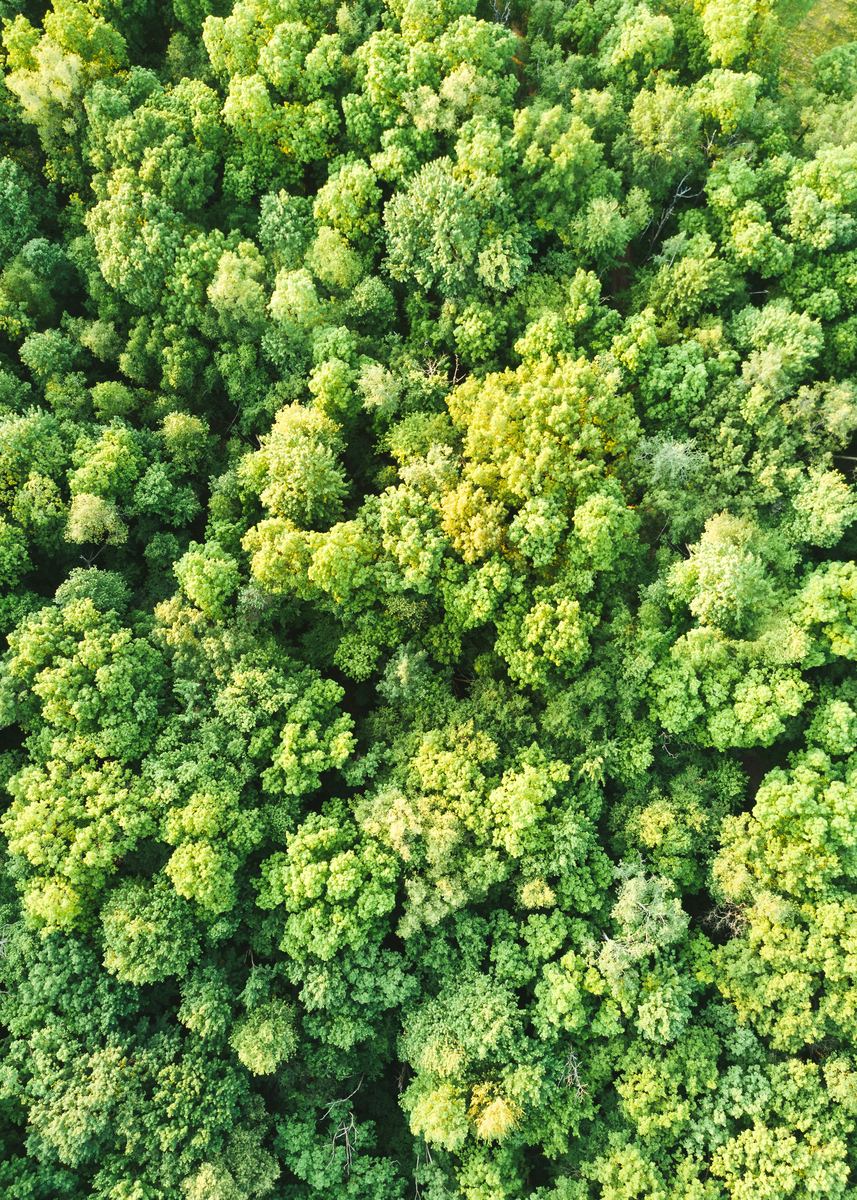 Environment & ClimateCarbon projects, forest monitoring and MRV.
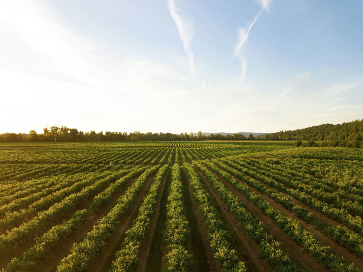 Agriculture & Land ManagementCrop monitoring, field analytics and land-use change.
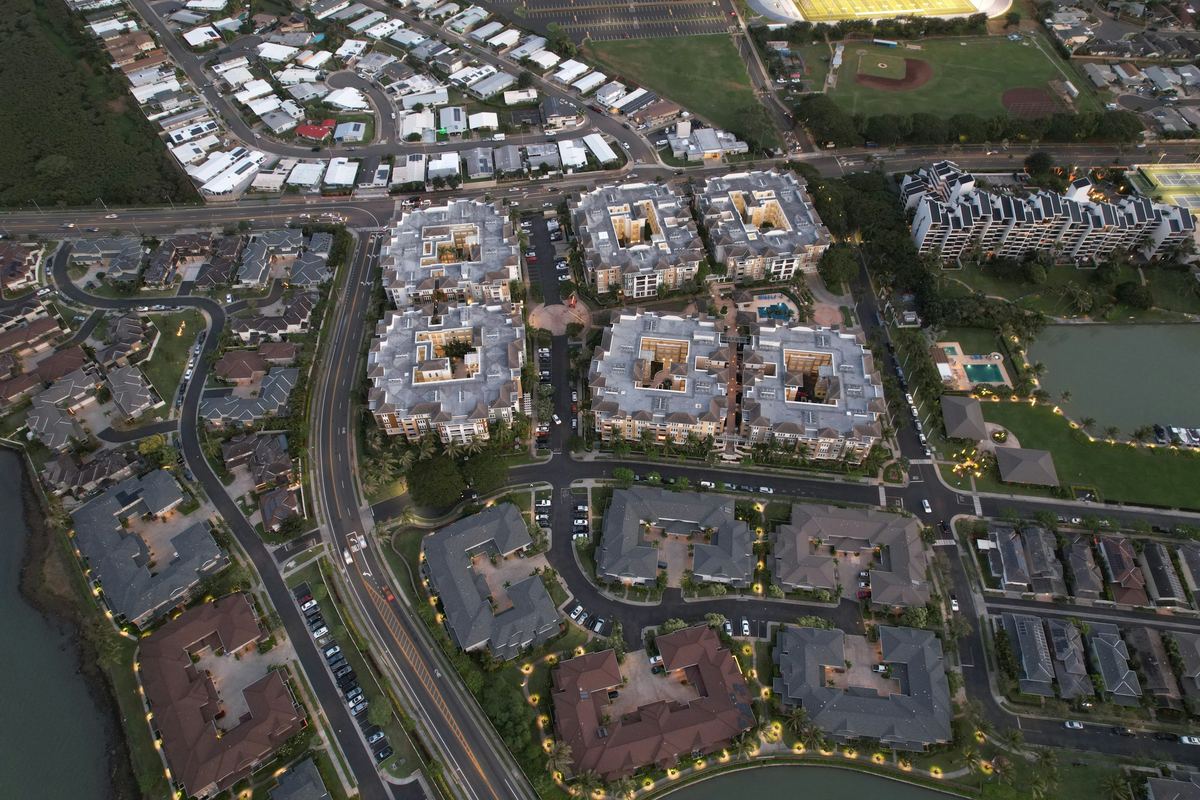 Real Estate & DevelopmentParcel screening, zoning and flood constraints.
 Retail & Market IntelligenceBest locations, trade areas and competitors.
 Infrastructure & UtilitiesNetwork planning and service coverage.
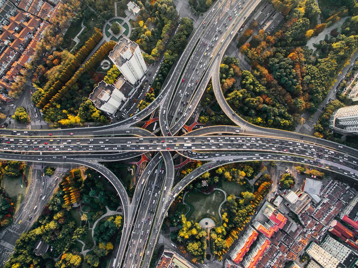 Public Sector & Urban PlanningUrban planning, flood risk and public services.
Long engagements where we build the geospatial side, and a platform we developed end to end.
All projects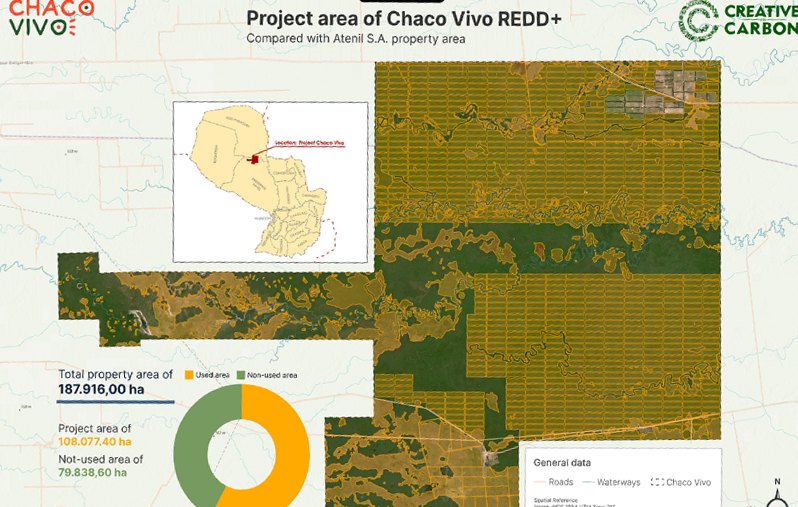
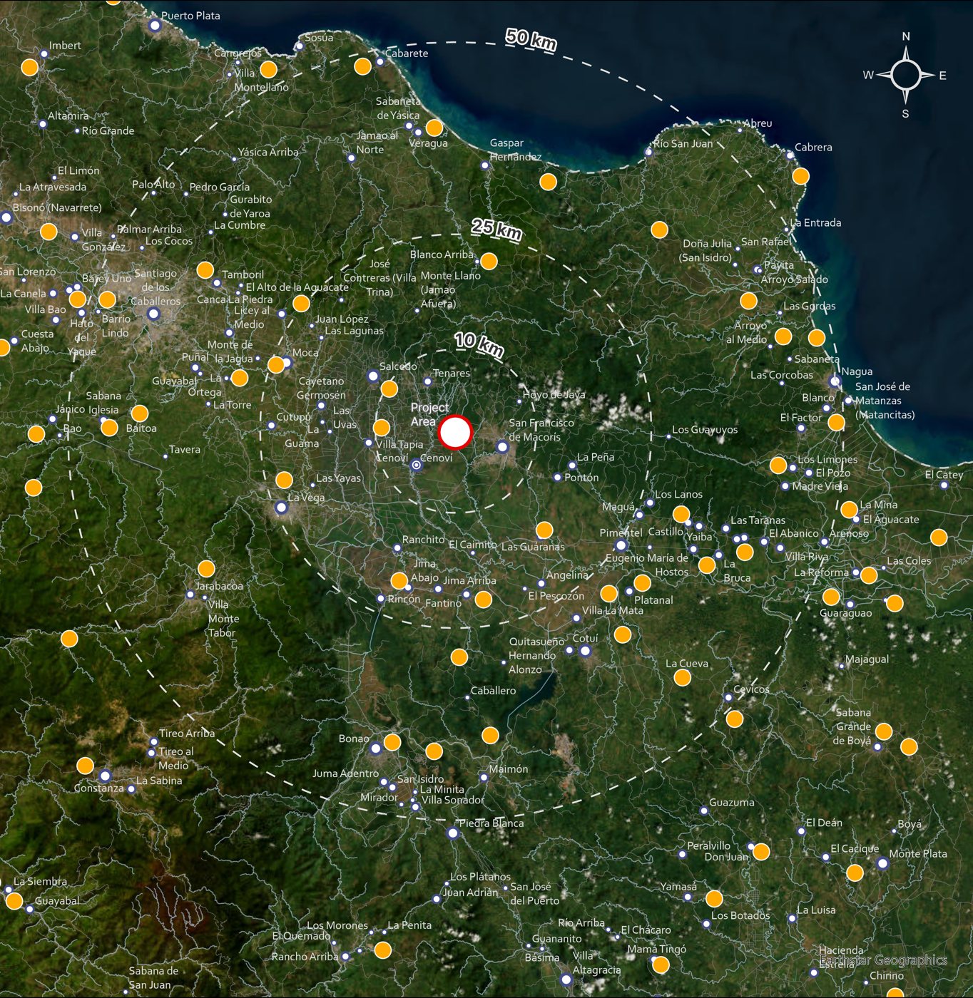
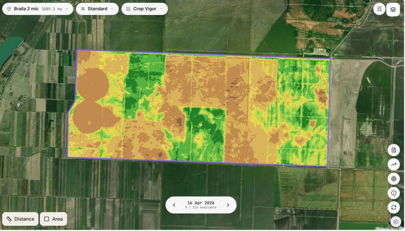
Carbon · Paraguay · 2023
Baseline mapping, deforestation monitoring and MRV design, with Creative Carbon.
Analyses and platforms delivered for clients in seven countries. Open a project to see the client and the result.
All projects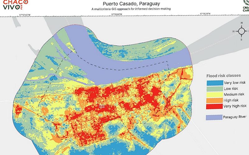
Flood risk · Paraguay · 2023
Chaco Vivo
5 weighted factors, 5 risk classes, Pléiades Neo imagery
Read the project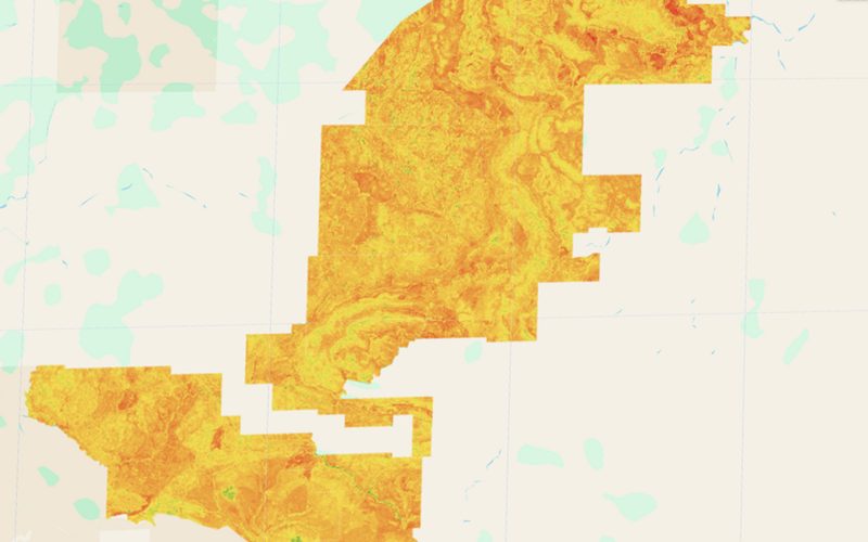
Satellite monitoring · Australia · 2024
Australian Wildlife Conservancy
8 years of Sentinel-2 imagery, 2017–2024
Read the project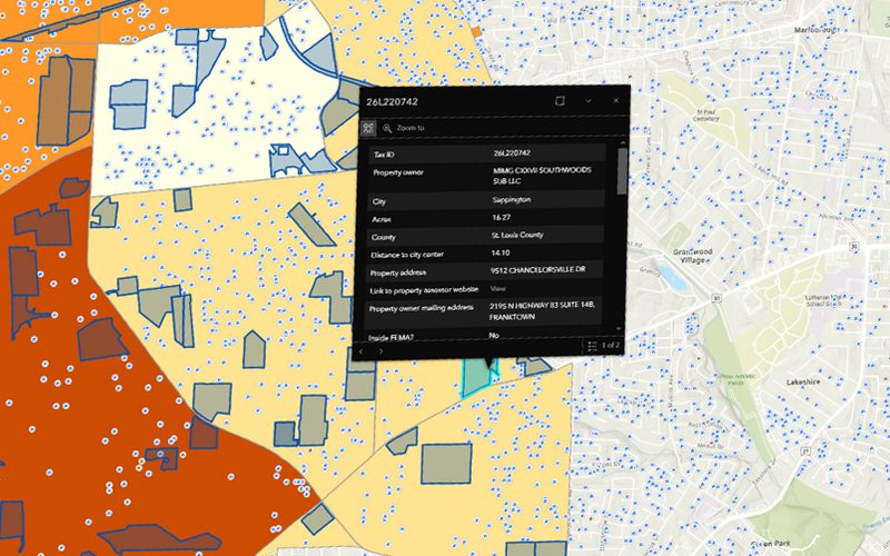
Due diligence · United States · 2023
Altus Properties & The BTR Group
Parcels, zoning, FEMA flood zones, school ratings and market data in one app
Read the project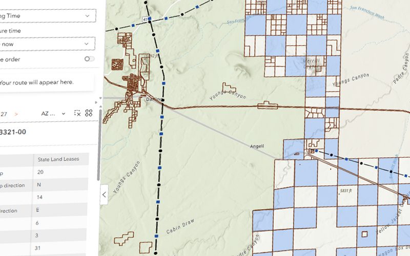
Site selection · United States · 2024
Private LLC, United States
Property parcels combined with solar irradiance to rank sites
Read the project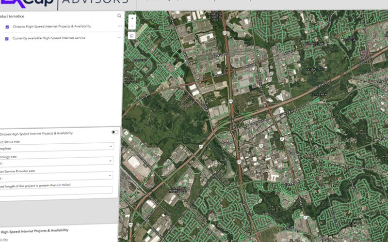
Web GIS & apps · Canada · 2023
EXCap Advisors
A web GIS geoportal for screening and monitoring network projects
Read the project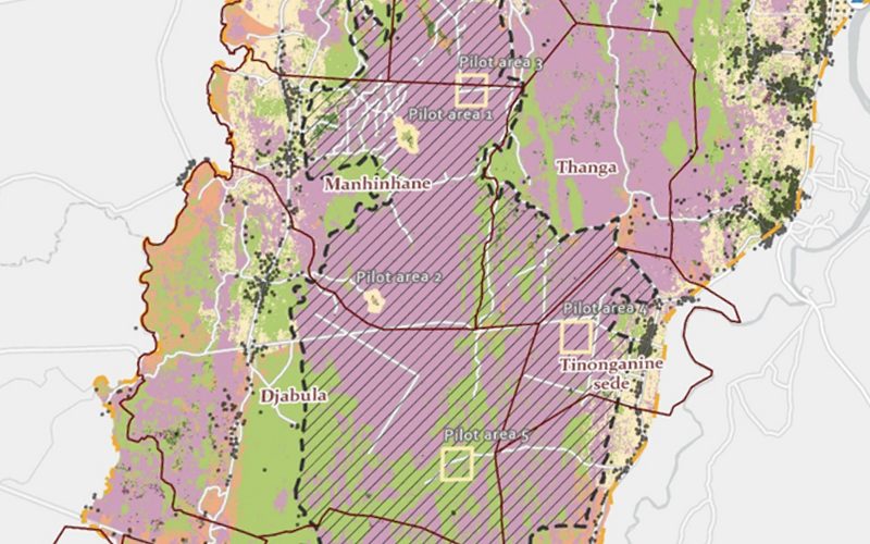
Carbon & nature · Mozambique · 2024
ARR REDD+ project
Multicriteria suitability across several value chains
Read the projectOur own products, Cartolytic Studio and Stayloop, and AGROGIS, a platform we developed for agrogis.ro.
All productsWrite-ups of our projects and the methods behind them.
All resourcesTell us the area, the decision and the deadline. We reply within 24 hours, from the person who will deliver the work.
Based in Bucharest, working with clients on five continents.