

Inputs
Survey
We plan the flight for the area and the detail you need, and fly the drone with a camera or a LiDAR sensor. Existing LiDAR or aerial surveys can be processed instead.
Home/Solutions/Terrain, LiDAR and 3D
What does the surface tell us?
LiDAR terrain mapping measures the ground and everything on it in three dimensions: the bare earth under the trees, the canopy and the buildings. We plan and fly the drone survey, process the LiDAR and imagery, and deliver terrain and surface models, canopy height, classified point clouds and contours for flood and drainage studies, forest carbon and site design.
Water follows the shape of the ground, and so do drainage, earthworks and most siting questions. A national elevation model is often too coarse for a single site: it smooths away a ditch, a bank or a terrace, and with them the paths the water takes. A drone or LiDAR survey captures them, and LiDAR pulses pass between the leaves to reach the ground under a forest.
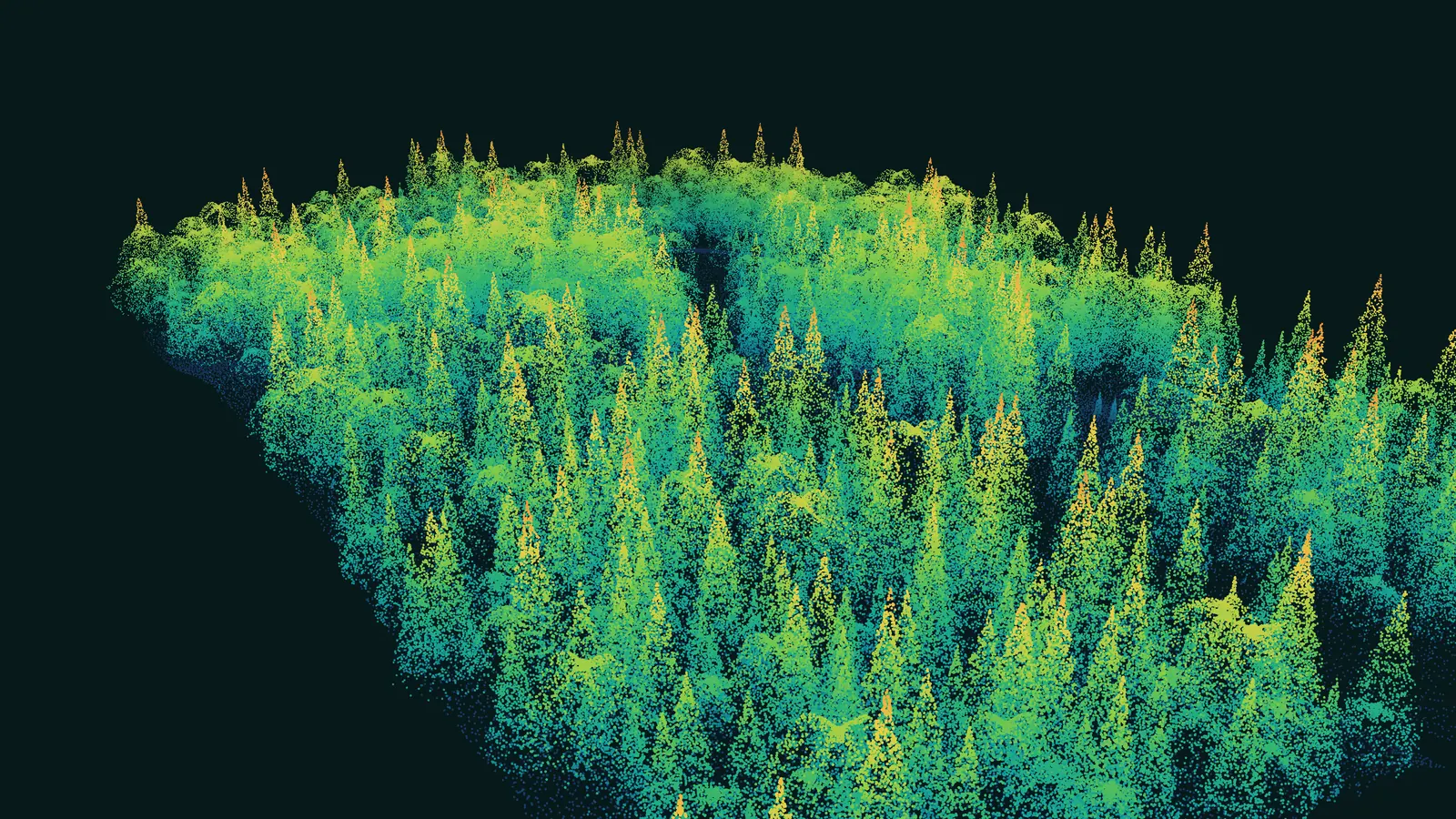
The same pulses measure the forest itself. One survey yields a digital terrain model (DTM) of the bare ground, a digital surface model (DSM) with buildings and trees, and the height of the canopy as the difference between the two: the forest structure that biomass and carbon estimates are built on.
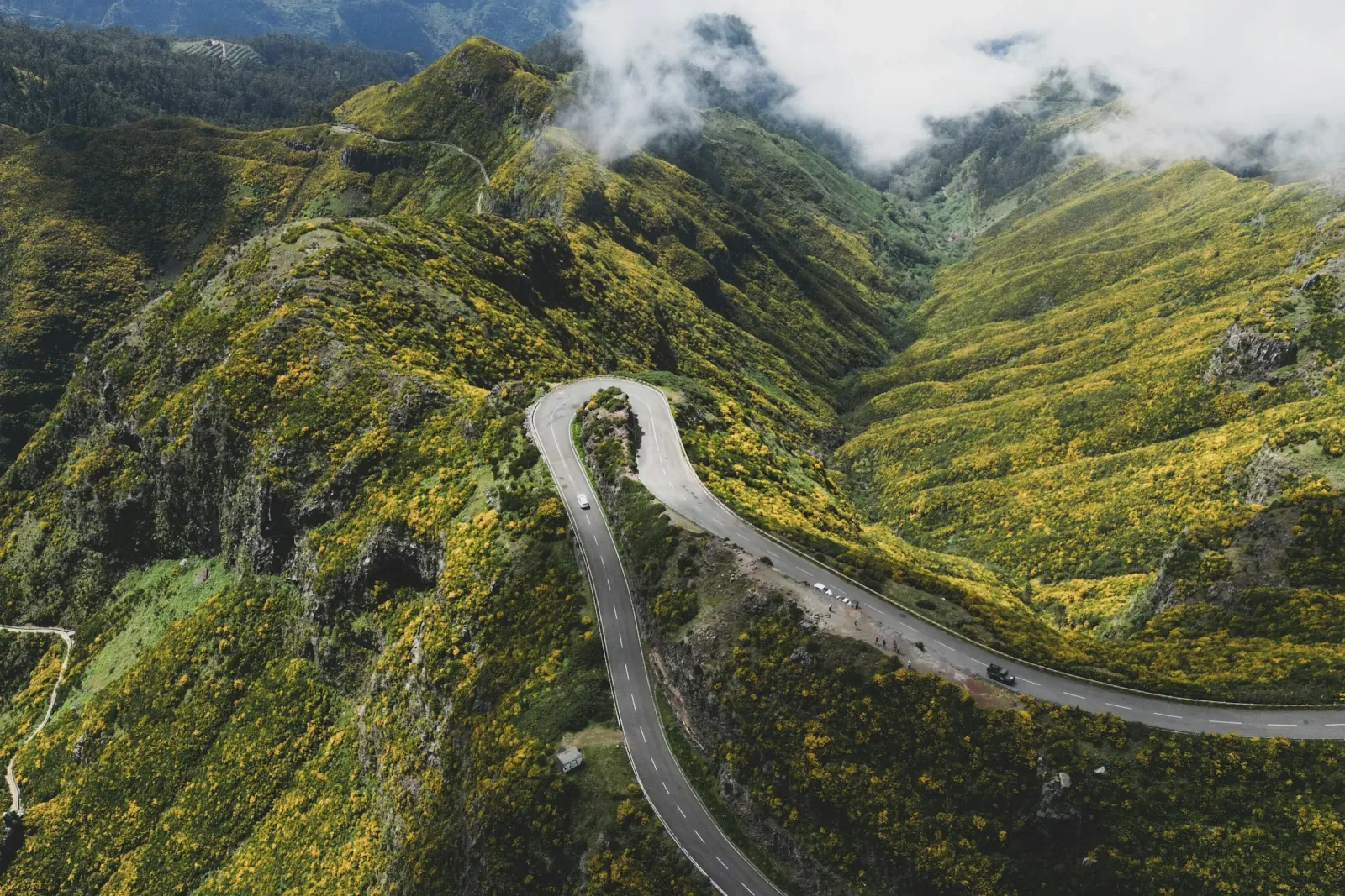
Inputs
We plan the flight for the area and the detail you need, and fly the drone with a camera or a LiDAR sensor. Existing LiDAR or aerial surveys can be processed instead.
Analysis
The point cloud is classified into ground, vegetation and buildings, and the photos are stitched into one orthomosaic. From the classified points we build the DTM, the DSM and the canopy height model on a regular grid.
Result
On those models we measure what the project needs: low ground and flow paths for flood and drainage studies, canopy height for biomass and carbon, slope, contours and volumes for design.
One continuous, georeferenced image of the site.
Bare-ground and surface models on a regular grid.
Points sorted into ground, vegetation and buildings.
Lines and slope classes for design and planning.
Tree height across a forest, as an input to biomass and carbon estimates.
Limits
Drone surveys cover sites and corridors rather than whole regions, flights depend on weather and airspace permission, and under very dense canopy even LiDAR returns few ground points.
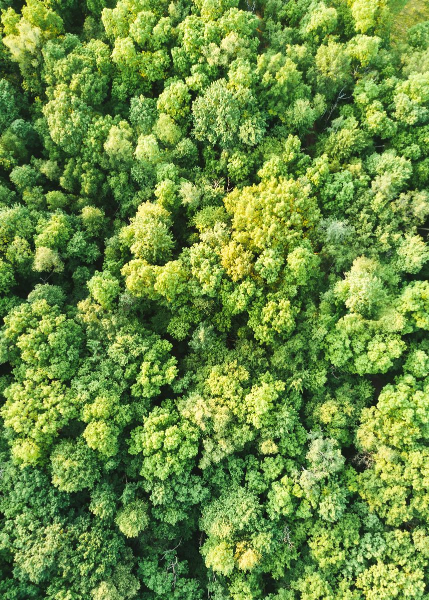 Carbon, Forests & EnvironmentCanopy height and forest structure from LiDAR, as inputs to the biomass and carbon estimates of REDD+ and ARR projects.
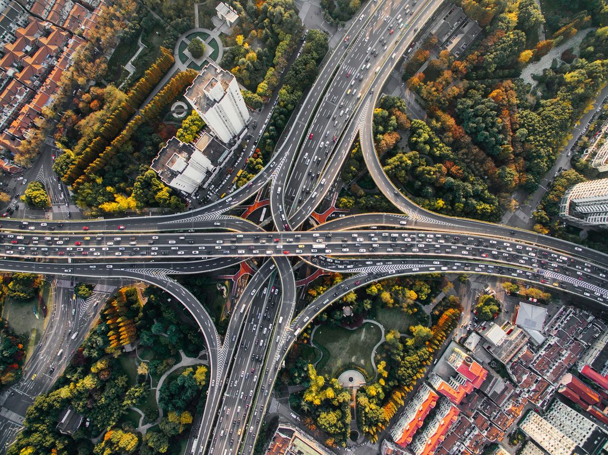 Public Sector & Urban PlanningDetailed bare-earth terrain as the base of flood-risk and drainage maps for towns and sites.
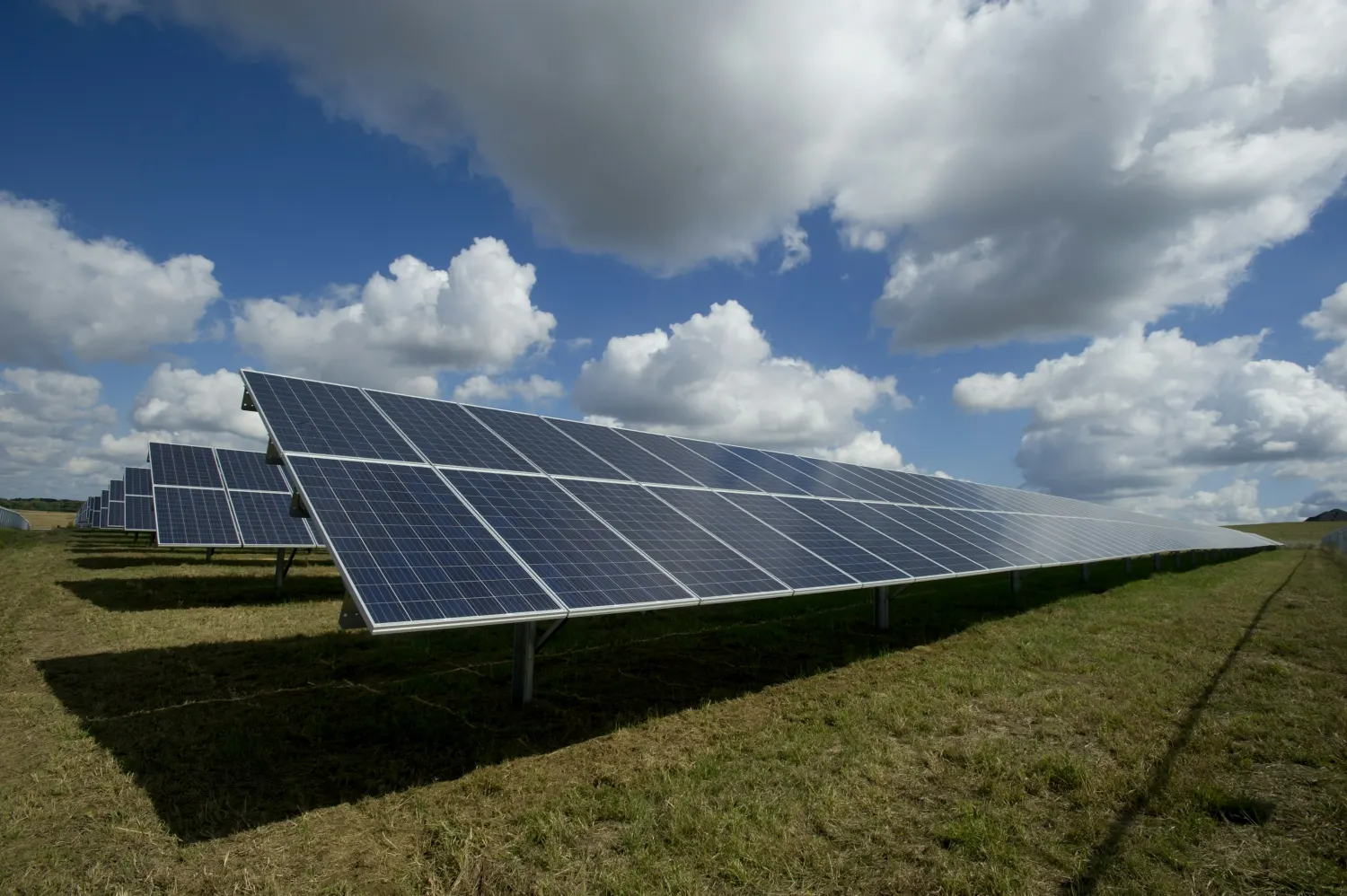 EnergySlope and terrain for solar and wind layouts, and surface models of a site before and during construction.
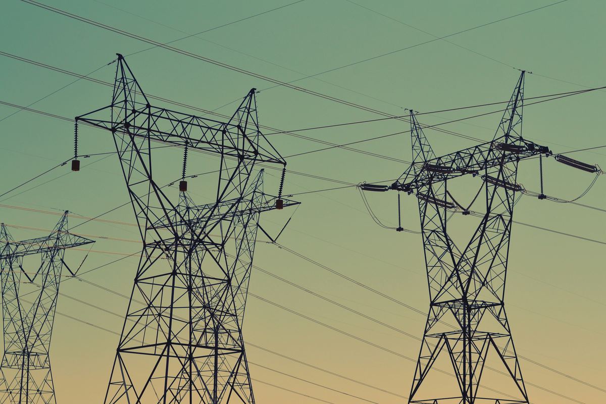 Infrastructure & UtilitiesDetailed terrain along a chosen route or corridor, with slope, contours and cut-and-fill volumes.
A LiDAR sensor sends laser pulses and records their returns, building a dense cloud of 3D points. Separating the points that hit the ground from those that hit trees and roofs gives a digital terrain model of the bare earth, even under forest.
A digital terrain model (DTM) is the bare ground. A digital surface model (DSM) includes everything on it: buildings, trees and other structures. The difference between the two gives the height of what stands on the ground, such as the canopy.
Yes. We plan and fly the survey, process the imagery and LiDAR, and deliver the final products. If you already hold LiDAR or aerial data, we process that instead.
Yes. LiDAR measures canopy height and forest structure, which the biomass and carbon estimates are built on. Drone or airborne LiDAR covers plots and sites; spaceborne LiDAR (GEDI) samples whole regions.
Water follows the ground. A detailed bare-earth model shows the low ground, flow paths and drainage that coarse elevation data smooths away, and it is the base layer of a flood-risk map.
It depends on the area and the detail. A drone survey gives centimetre detail over a site or a corridor; national elevation models and satellite data cover whole regions at coarser resolution. We recommend the simplest source that answers the question.
Tell us the area, the decision and the deadline. We reply within 24 hours, from the person who will deliver the work.
Based in Bucharest, working with clients on five continents.
