01What is a site suitability analysis in GIS?
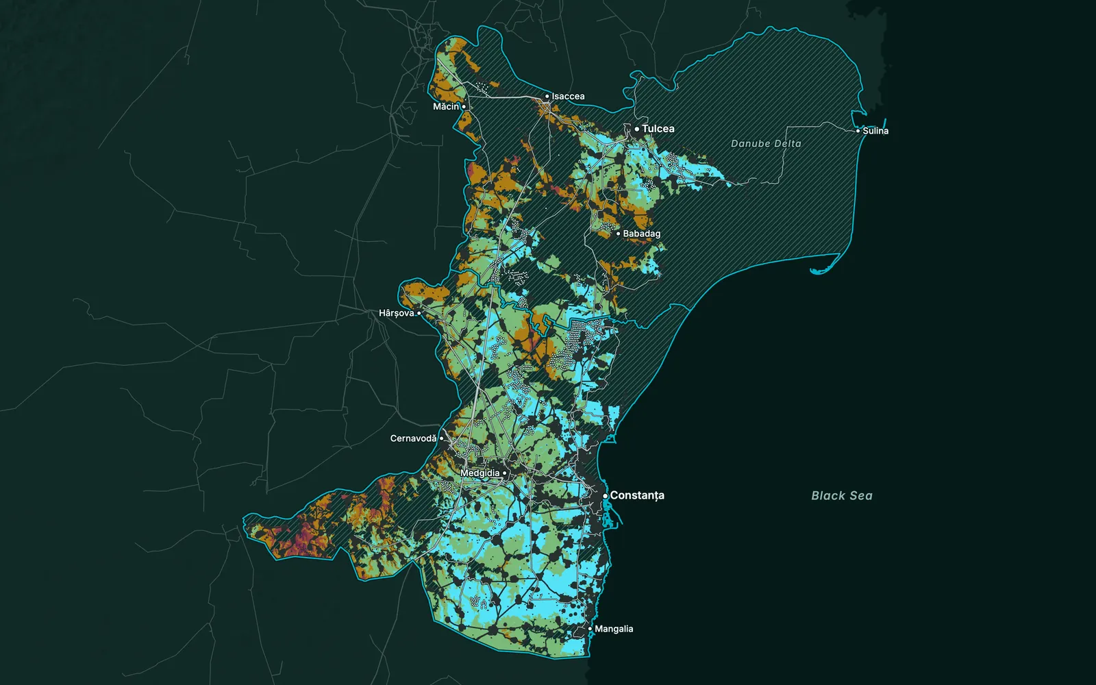
A multi-criteria analysis that scores every part of an area against your siting rules. Constraints remove the land that cannot be used, weighted factors rank the rest, and the result is a suitability map and a shortlist of sites, each with the reasons for its score.
02Who decides the weights?
You do, with us. We propose criteria and weights for the project type, then agree them with your team in a working session. The weights are written into the report, so anyone can see why a site ranks where it does.
03Can we change the criteria later?
Yes. We deliver the model, not only the map. When a rule changes, such as a new setback distance or a new data layer, the model runs again over the whole area and the ranking updates.
04How large an area can you screen?
Any size, from one parcel to a whole region. Regional screening runs on coarser layers to rule land out quickly; the shortlisted sites are then checked again with finer data.
05What data do you need from us?
Your siting rules and anything you already hold: parcels, surveys, grid data or a list of sites to compare. We bring the open and licensed data, such as elevation models, satellite land cover, protected areas and roads, and say up front where a layer is missing or coarse.